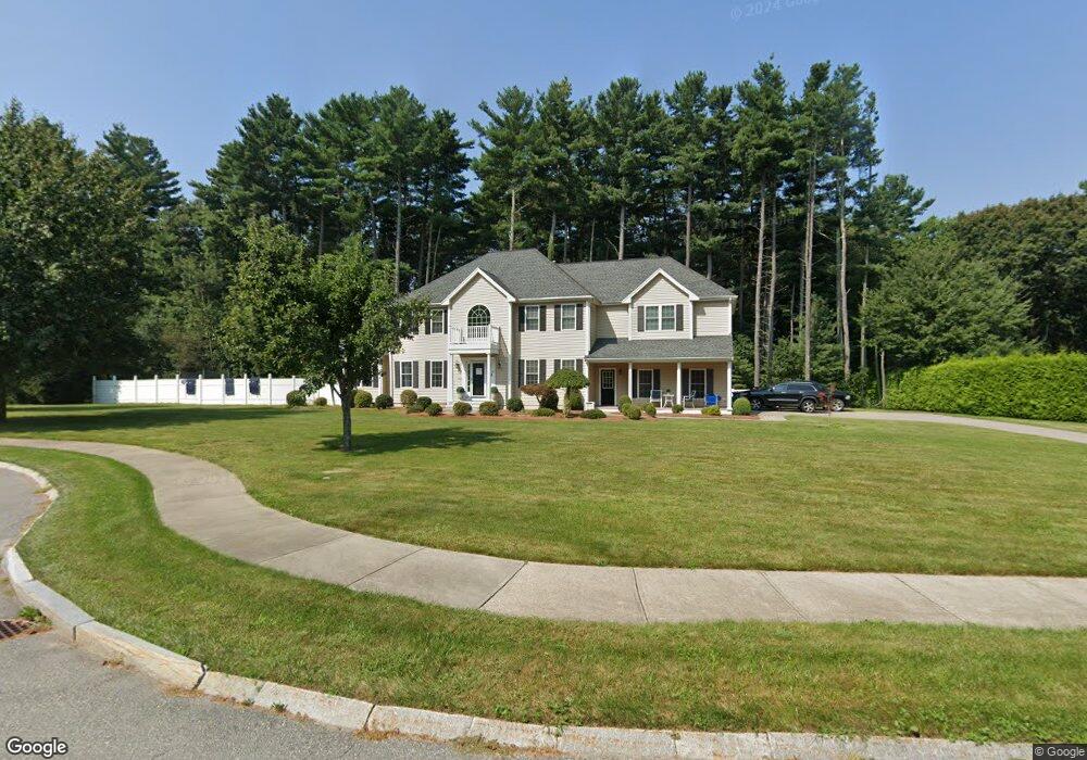
11 Windsor Cir Franklin, MA 02038
Estimated Value: $985,468 - $1,365,000
4
Beds
3
Baths
3,294
Sq Ft
$347/Sq Ft
Est. Value
About This Home
This home is located at 11 Windsor Cir, Franklin, MA 02038 and is currently estimated at $1,143,617, approximately $347 per square foot. 11 Windsor Cir is a home located in Norfolk County with nearby schools including John F. Kennedy Memorial School, Horace Mann Middle School, and Franklin High School.
Ownership History
Date
Name
Owned For
Owner Type
Purchase Details
Closed on
Dec 16, 2009
Sold by
Kensington Rt
Bought by
Conroy Thomas M and Conroy Melissa D
Current Estimated Value
Home Financials for this Owner
Home Financials are based on the most recent Mortgage that was taken out on this home.
Original Mortgage
$100,000
Outstanding Balance
$65,560
Interest Rate
5%
Mortgage Type
Purchase Money Mortgage
Estimated Equity
$1,078,057
Create a Home Valuation Report for This Property
The Home Valuation Report is an in-depth analysis detailing your home's value as well as a comparison with similar homes in the area
Purchase History
We collect this data history from publicly available records. To have your information removed, we recommend requesting removal directly through your county’s website.
| Date | Buyer | Sale Price | Title Company |
|---|---|---|---|
| Conroy Thomas M | $613,500 | -- |
Source: Public Records
Mortgage History
We collect this data history from publicly available records. To have your information removed, we recommend requesting removal directly through your county’s website.
| Date | Status | Borrower | Loan Amount |
|---|---|---|---|
| Open | Conroy Thomas M | $100,000 |
Source: Public Records
Tax History
| Year | Tax Paid | Tax Assessment Tax Assessment Total Assessment is a certain percentage of the fair market value that is determined by local assessors to be the total taxable value of land and additions on the property. | Land | Improvement |
|---|---|---|---|---|
| 2025 | $11,307 | $973,100 | $248,900 | $724,200 |
| 2024 | $10,473 | $888,300 | $248,900 | $639,400 |
| 2023 | $9,722 | $772,800 | $259,700 | $513,100 |
| 2022 | $9,370 | $666,900 | $214,600 | $452,300 |
| 2021 | $9,946 | $678,900 | $210,500 | $468,400 |
| 2020 | $9,745 | $671,600 | $226,300 | $445,300 |
| 2019 | $9,406 | $641,600 | $204,600 | $437,000 |
| 2018 | $8,869 | $605,400 | $214,500 | $390,900 |
| 2017 | $8,569 | $587,700 | $196,800 | $390,900 |
| 2016 | $8,367 | $577,000 | $209,600 | $367,400 |
| 2015 | $8,199 | $552,500 | $185,100 | $367,400 |
| 2014 | $7,833 | $542,100 | $174,700 | $367,400 |
Source: Public Records
Map
Nearby Homes
- 359 Hartford Ave
- 394 Village St
- 8 Thomas Dr
- 3 Harmony Way Unit 3
- 7 Holbrook St
- 18 Anchorage Rd
- 7 Maple Brook Ln
- 10 Charles River Rd
- 41 Kimberlee Ave
- 6 Teresa Cir
- 22 Dogwood Ln
- 25 Brookview Rd
- 28 Fisher St
- 354 Maple St
- 90 Oliver Pond Cir Unit 43
- 0 Hixon St Unit 73477486
- 89 Oliver Pond Cir Unit 4
- 6 Edmunds Way
- 14 Sanford St Unit 66
- 14 Sanford St Unit 61
- 7 Windsor Cir
- 15 Windsor Cir
- Lot 2 Windsor Cir
- Lot 1 Windsor Cir
- Lot 4 Windsor Cir
- 0 Windsor Cir Unit 70782494
- 0 Windsor Cir Unit 70718822
- 0 Windsor Cir Unit 70769166
- 0 Windsor Cir Unit 70769165
- 10 Windsor Cir Unit Lot 4
- 10 Windsor Cir Unit 4
- 85 Pine St
- 83 Pine St
- 120 Beech St
- 114 Beech St
- 89 Pine St
- 124 Beech St
- 81 Pine St
- 110 Beech St
- 99 Pine St
Your Personal Tour Guide
Ask me questions while you tour the home.