11 Wingaersheek Rd Gloucester, MA 01930
West Gloucester NeighborhoodEstimated Value: $4,603,530
4
Beds
4
Baths
1,837
Sq Ft
$2,506/Sq Ft
Est. Value
About This Home
This home is located at 11 Wingaersheek Rd, Gloucester, MA 01930 and is currently estimated at $4,603,530, approximately $2,506 per square foot. 11 Wingaersheek Rd is a home located in Essex County with nearby schools including West Parish, Ralph B O'maley Middle School, and Gloucester High School.
Ownership History
Date
Name
Owned For
Owner Type
Purchase Details
Closed on
Nov 22, 2022
Sold by
11 Wingaersheek Road Rt and Driscoll
Bought by
11 Wingaersheek Road Llc
Current Estimated Value
Purchase Details
Closed on
Aug 7, 2018
Sold by
Shea Pauline and Burati Gail
Bought by
11 Wingaersheek Road R and Driscoll
Purchase Details
Closed on
Jan 1, 1962
Bought by
Shea Peter P and Shea Katherine
Create a Home Valuation Report for This Property
The Home Valuation Report is an in-depth analysis detailing your home's value as well as a comparison with similar homes in the area
Home Values in the Area
Average Home Value in this Area
Purchase History
| Date | Buyer | Sale Price | Title Company |
|---|---|---|---|
| 11 Wingaersheek Road Llc | $4,000,000 | None Available | |
| 11 Wingaersheek Road R | -- | -- | |
| 11 Wingaersheek Road R | -- | -- | |
| Shea Peter P | -- | -- |
Source: Public Records
Tax History
| Year | Tax Paid | Tax Assessment Tax Assessment Total Assessment is a certain percentage of the fair market value that is determined by local assessors to be the total taxable value of land and additions on the property. | Land | Improvement |
|---|---|---|---|---|
| 2025 | $29,510 | $3,036,000 | $2,988,500 | $47,500 |
| 2024 | $33,202 | $3,412,300 | $2,846,300 | $566,000 |
| 2023 | $30,936 | $2,921,200 | $2,426,200 | $495,000 |
| 2022 | $28,789 | $2,454,300 | $2,020,200 | $434,100 |
| 2021 | $27,785 | $2,233,500 | $1,838,000 | $395,500 |
| 2020 | $27,440 | $2,225,500 | $1,838,000 | $387,500 |
| 2019 | $26,546 | $2,091,900 | $1,752,500 | $339,400 |
| 2018 | $26,059 | $2,015,400 | $1,709,800 | $305,600 |
| 2017 | $25,556 | $1,937,500 | $1,628,100 | $309,400 |
| 2016 | $20,998 | $1,542,800 | $1,274,100 | $268,700 |
| 2015 | $20,826 | $1,525,700 | $1,245,200 | $280,500 |
Source: Public Records
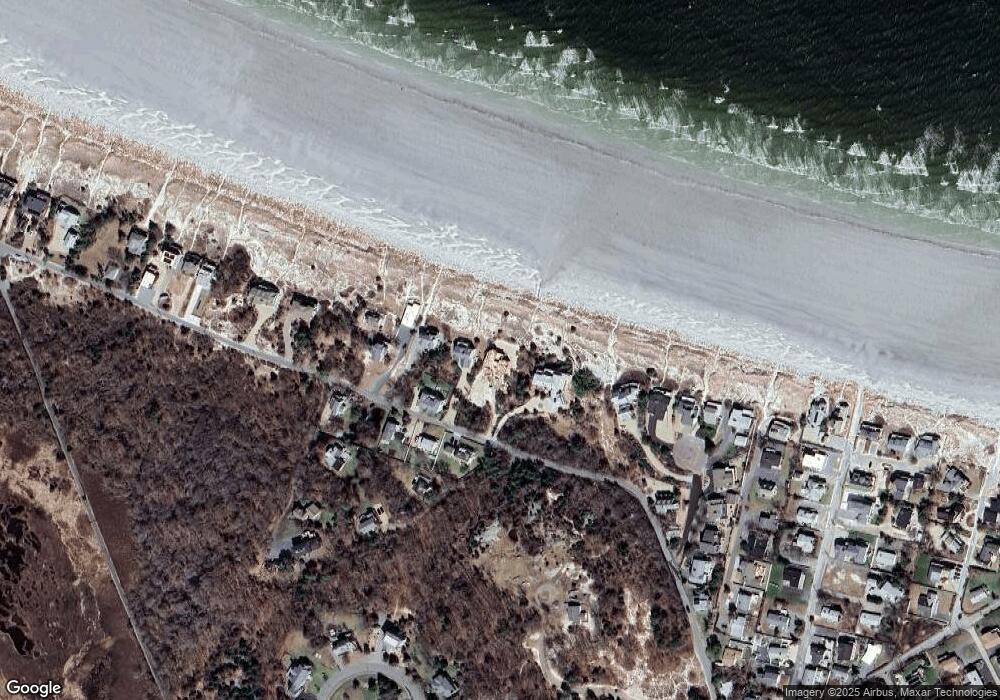
Map
Nearby Homes
- 226 Atlantic St
- 178 Atlantic St
- 167 Atlantic St
- 2 Breezy Point Rd
- 672 Washington St
- 13 Honeysuckle Rd
- 3 Deacon Farm Ln
- 7 Colburn St
- 7 Leaman Dr
- 31 Echo Ave
- 1030 Washington St
- 5 Samoset Rd Unit B
- 43 High St Unit B
- 368 Essex Ave
- 10 Emerald St
- 13 Mystic Ave
- 24 Cobblestone Ln Unit 603
- 145 Essex Ave Unit 402
- 5 Lepage Ln
- 8 Mystic Ave
- 13 Wingaersheek Rd
- 15 Wingaersheek Rd
- 17 Wingaersheek Rd
- 1 Wingaersheek Rd
- 19 Wingaersheek Rd
- 10 Wingaersheek Rd
- 12 Wingaersheek Rd
- 21 Wingaersheek Rd
- 14 Wingaersheek Rd
- 23 Wingaersheek Rd
- 5 Digby Ln
- 4 Sandy Way
- 6 Sandy Way
- 4 Sand Dollar Cir
- 9 Digby Ln
- 25 Wingaersheek Rd
- 8 Sandy Way
- 6 Sand Dollar Cir
- 27 Wingaersheek Rd
- 10 Sandy Way
Your Personal Tour Guide
Ask me questions while you tour the home.