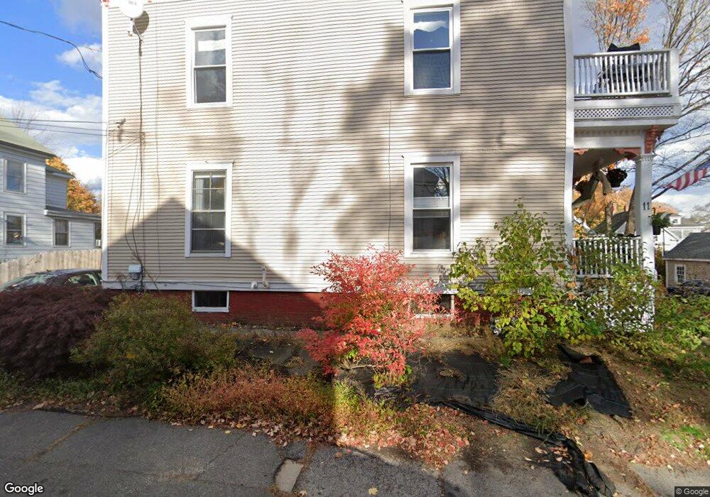
11 Winter St Unit 1 Amesbury, MA 01913
Estimated Value: $541,000 - $619,000
3
Beds
2
Baths
1,656
Sq Ft
$356/Sq Ft
Est. Value
About This Home
This home is located at 11 Winter St Unit 1, Amesbury, MA 01913 and is currently estimated at $589,308, approximately $355 per square foot. 11 Winter St Unit 1 is a home located in Essex County with nearby schools including Amesbury High School and Amesbury Seventh-Day Adventist School.
Ownership History
Date
Name
Owned For
Owner Type
Purchase Details
Closed on
Dec 17, 2020
Sold by
Redd Llc
Bought by
Dudley Edward and Dudley Rachel
Current Estimated Value
Home Financials for this Owner
Home Financials are based on the most recent Mortgage that was taken out on this home.
Original Mortgage
$190,475
Outstanding Balance
$152,699
Interest Rate
2.7%
Mortgage Type
New Conventional
Estimated Equity
$436,609
Purchase Details
Closed on
Jul 16, 2020
Sold by
Bank New York Mellon Tr
Bought by
Redd Llc
Purchase Details
Closed on
Nov 28, 2017
Sold by
Gardner Keith F and Bank Of New York Mello
Bought by
Bank New York Mellon T
Create a Home Valuation Report for This Property
The Home Valuation Report is an in-depth analysis detailing your home's value as well as a comparison with similar homes in the area
Home Values in the Area
Average Home Value in this Area
Purchase History
| Date | Buyer | Sale Price | Title Company |
|---|---|---|---|
| Dudley Edward | -- | None Available | |
| Redd Llc | $184,000 | None Available | |
| Bank New York Mellon T | $198,900 | -- | |
| Bank New York Mellon T | $198,900 | -- |
Source: Public Records
Mortgage History
| Date | Status | Borrower | Loan Amount |
|---|---|---|---|
| Open | Dudley Edward | $190,475 |
Source: Public Records
Tax History Compared to Growth
Tax History
| Year | Tax Paid | Tax Assessment Tax Assessment Total Assessment is a certain percentage of the fair market value that is determined by local assessors to be the total taxable value of land and additions on the property. | Land | Improvement |
|---|---|---|---|---|
| 2025 | $7,509 | $490,800 | $0 | $490,800 |
| 2024 | $7,252 | $463,700 | $0 | $463,700 |
| 2023 | $6,791 | $415,600 | $0 | $415,600 |
| 2022 | $6,008 | $339,600 | $0 | $339,600 |
| 2021 | $5,968 | $327,000 | $0 | $327,000 |
| 2020 | $5,486 | $319,300 | $0 | $319,300 |
| 2019 | $5,494 | $299,100 | $0 | $299,100 |
| 2018 | $5,439 | $286,400 | $0 | $286,400 |
| 2017 | $5,361 | $268,700 | $0 | $268,700 |
| 2016 | $5,500 | $271,200 | $0 | $271,200 |
| 2015 | $5,570 | $271,200 | $0 | $271,200 |
| 2014 | $5,303 | $252,900 | $0 | $252,900 |
Source: Public Records
Map
Nearby Homes
- 4 Winter St
- 37 Millyard Unit 204
- 13 High St Unit 2
- 48 Orchard St
- 4 Clark St
- 3 Arlington St
- 101 Market St Unit B
- 101 Market St Unit A
- 93 Friend St
- 105 Market St Unit B
- 25 Cedar St Unit 4
- 25 Cedar St Unit 14
- 25 Cedar St Unit 7
- 5 Richs Ct Unit 3
- 97 Elm St
- 43 Aubin St Unit 43
- 118 Elm St
- 22 Huntington Ave
- 161 Elm St Unit A
- 18 E Greenwood St
- 11 Winter St Unit 2
- 7 Winter St Unit D
- 9 Winter St
- 7 Winter St Unit B
- 9 Winter St Unit A
- 7 Winter St Unit 7A
- 7 Winter St Unit 7
- 7 Winter St Unit 1
- 13 Winter St
- 20 Powow St
- 24 Powow St
- 10 Winter St
- 18 Powow St
- 18 Winter St Unit 3
- 18 Winter St
- 16 Winter St
- 16 Winter St Unit 1
- 8 Winter St
- 5 Winter St
- 17 Winter St