11 Work Creek Rd Reed Point, MT 59069
Estimated Value: $624,000 - $882,464
4
Beds
3
Baths
3,488
Sq Ft
$217/Sq Ft
Est. Value
About This Home
This home is located at 11 Work Creek Rd, Reed Point, MT 59069 and is currently estimated at $757,155, approximately $217 per square foot. 11 Work Creek Rd is a home located in Sweet Grass County with nearby schools including Reed Point Elementary School, Reed Point 7-8, and Reed Point High School.
Ownership History
Date
Name
Owned For
Owner Type
Purchase Details
Closed on
Mar 2, 2012
Sold by
Federal National Mortgage Association
Bought by
Ketola Bradley D and Ketola Misty D
Current Estimated Value
Home Financials for this Owner
Home Financials are based on the most recent Mortgage that was taken out on this home.
Original Mortgage
$243,662
Outstanding Balance
$167,139
Interest Rate
3.84%
Mortgage Type
FHA
Estimated Equity
$590,016
Purchase Details
Closed on
Feb 22, 2007
Sold by
Dietzler Terence R and Dietzler Karen E
Bought by
Mackubbin Stowman B and Mackubbin Anngelea M
Home Financials for this Owner
Home Financials are based on the most recent Mortgage that was taken out on this home.
Original Mortgage
$390,000
Interest Rate
6.21%
Mortgage Type
New Conventional
Create a Home Valuation Report for This Property
The Home Valuation Report is an in-depth analysis detailing your home's value as well as a comparison with similar homes in the area
Home Values in the Area
Average Home Value in this Area
Purchase History
| Date | Buyer | Sale Price | Title Company |
|---|---|---|---|
| Ketola Bradley D | $300,000 | Service Link | |
| Mackubbin Stowman B | -- | Sweet Grass Title Co |
Source: Public Records
Mortgage History
| Date | Status | Borrower | Loan Amount |
|---|---|---|---|
| Open | Ketola Bradley D | $243,662 | |
| Previous Owner | Mackubbin Stowman B | $390,000 |
Source: Public Records
Tax History Compared to Growth
Tax History
| Year | Tax Paid | Tax Assessment Tax Assessment Total Assessment is a certain percentage of the fair market value that is determined by local assessors to be the total taxable value of land and additions on the property. | Land | Improvement |
|---|---|---|---|---|
| 2025 | $2,892 | $614,320 | $0 | $0 |
| 2024 | $3,169 | $483,882 | $0 | $0 |
| 2023 | $3,165 | $483,882 | $0 | $0 |
| 2022 | $2,441 | $322,079 | $0 | $0 |
| 2021 | $2,433 | $322,079 | $0 | $0 |
| 2020 | $2,412 | $318,996 | $0 | $0 |
| 2019 | $2,367 | $318,996 | $0 | $0 |
| 2018 | $2,479 | $315,884 | $0 | $0 |
| 2017 | $2,684 | $315,884 | $0 | $0 |
| 2016 | $2,187 | $255,487 | $0 | $0 |
| 2015 | $2,201 | $255,487 | $0 | $0 |
| 2014 | $2,096 | $126,841 | $0 | $0 |
Source: Public Records
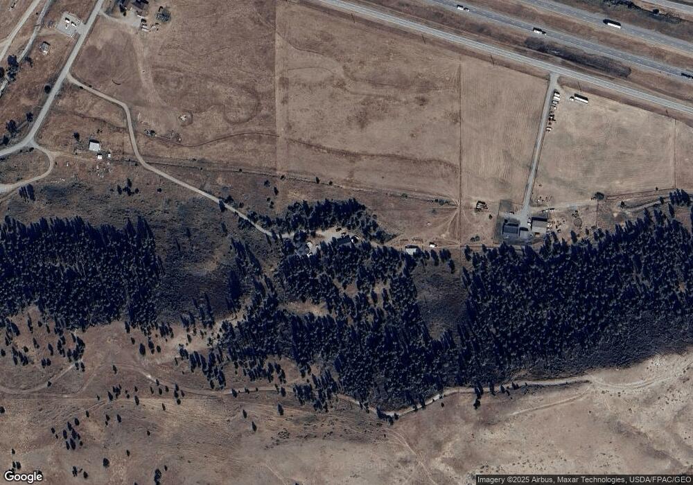
Map
Nearby Homes
- 251 Rd
- 251 Rd
- 251 Hump Creek Lot 3 Rd
- 251 Hump Creek Lot 4 Rd
- 251 Hump Creek Rd
- 8 Division St N
- 68 Bridger Creek Rd
- 74 Hwy 10 E
- 802 Deadmans Canyon Rd
- TBD Frontage Rd
- 659 Deadmans Canyon Rd
- tbd Deadmans Canyon Rd
- 20 Elkhorn Rd
- 9 Lost Cache Rd
- 101 W Bridger Creek Rd
- 91 W Bridger Creek Rd
- TBD Brumfield RD Brumfield Rd
- 0 Dry Hole Trail Unit 353747
- 16 Powder Horn Ranch Dr
- 16 Powder Horn Ranch