11 Wren Ct Berkeley Heights, NJ 07922
Estimated Value: $177,000 - $325,000
--
Bed
--
Bath
504
Sq Ft
$499/Sq Ft
Est. Value
About This Home
This home is located at 11 Wren Ct, Berkeley Heights, NJ 07922 and is currently estimated at $251,714, approximately $499 per square foot. 11 Wren Ct is a home located in Union County with nearby schools including Columbia Middle School, Governor Livingston High School, and The Academy of Our Lady of Peace.
Ownership History
Date
Name
Owned For
Owner Type
Purchase Details
Closed on
Sep 30, 2004
Sold by
Pietrantuono Christine
Bought by
Newman Peter
Current Estimated Value
Purchase Details
Closed on
Nov 16, 2001
Sold by
Pietrantuono Jennifer and Pietrantuono Leonardo
Bought by
Groves Christine
Home Financials for this Owner
Home Financials are based on the most recent Mortgage that was taken out on this home.
Original Mortgage
$55,404
Interest Rate
6.64%
Purchase Details
Closed on
Nov 20, 1995
Sold by
Miller Maureen and Obrien James
Bought by
Riola Jennifer
Purchase Details
Closed on
Jan 21, 1994
Sold by
Highland Devel Inc
Bought by
O'Brien James
Create a Home Valuation Report for This Property
The Home Valuation Report is an in-depth analysis detailing your home's value as well as a comparison with similar homes in the area
Home Values in the Area
Average Home Value in this Area
Purchase History
| Date | Buyer | Sale Price | Title Company |
|---|---|---|---|
| Newman Peter | $62,272 | -- | |
| Groves Christine | $58,321 | -- | |
| Riola Jennifer | $45,155 | -- | |
| O'Brien James | $38,950 | -- |
Source: Public Records
Mortgage History
| Date | Status | Borrower | Loan Amount |
|---|---|---|---|
| Previous Owner | Groves Christine | $55,404 |
Source: Public Records
Tax History Compared to Growth
Tax History
| Year | Tax Paid | Tax Assessment Tax Assessment Total Assessment is a certain percentage of the fair market value that is determined by local assessors to be the total taxable value of land and additions on the property. | Land | Improvement |
|---|---|---|---|---|
| 2025 | $2,306 | $53,800 | $10,500 | $43,300 |
| 2024 | $2,273 | $53,800 | $10,500 | $43,300 |
| 2023 | $2,273 | $53,800 | $10,500 | $43,300 |
| 2022 | $2,259 | $53,800 | $10,500 | $43,300 |
| 2021 | $2,247 | $53,800 | $10,500 | $43,300 |
| 2020 | $2,259 | $53,800 | $10,500 | $43,300 |
| 2019 | $2,247 | $53,800 | $10,500 | $43,300 |
| 2018 | $2,200 | $53,800 | $10,500 | $43,300 |
| 2017 | $2,174 | $53,800 | $10,500 | $43,300 |
| 2016 | $2,135 | $53,800 | $10,500 | $43,300 |
| 2015 | $2,123 | $53,800 | $10,500 | $43,300 |
| 2014 | $2,068 | $53,800 | $10,500 | $43,300 |
Source: Public Records
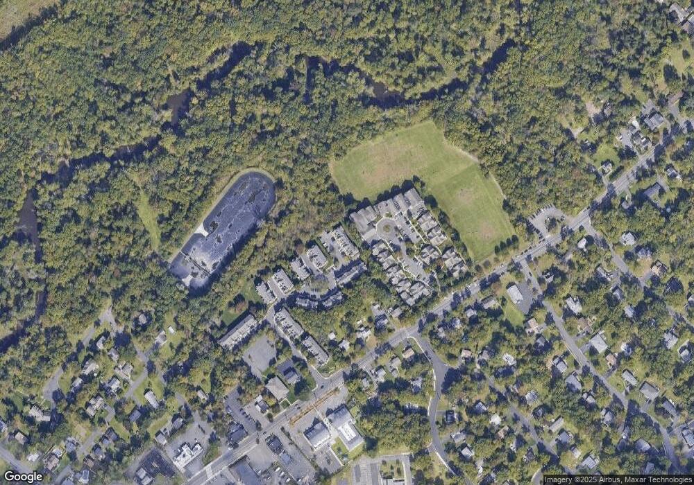
Map
Nearby Homes
- 93 Park Edge Unit 3H
- 43 Kuntz Ave
- 61 Kuntz Ave
- 30 Robbins Ave
- 46 Snyder Ave
- 63 Snyder Ave
- 19 Guenevere Way Ondo
- 41 Meadowview Ln
- 93 Ormont Rd
- 34 Meadowview Ln
- 18 Ridge Rd
- 132 Fairview Ave
- 11 Earl Place
- 27 Angela Way Unit 727
- 217 Lincoln St
- 33 Bristol Ct
- 3 Cottage Ct Unit 3
- 157 Meyersville Rd
- 235 Plainfield Ave
- 108 Meyersville Rd
- 13 Wren Ct Unit 7
- 9 Wren Ct
- 15 Wren Ct
- 7 Wren Ct
- 17 Wren Ct
- 5 Wren Ct Unit 3
- 19 Wren Ct Unit 10
- 3 Wren Ct Unit 2
- 1 Wren Ct
- 23 Wren Court Condo
- 38 Park Edge
- 61 Daria Ln Unit 96
- 3 Cardinal Ct Unit 2
- 1 Cardinal Ct Unit 1
- 59 Daria Ln
- 5 Cardinal Ct Unit 3
- 7 Cardinal Ct Unit 4
- 57 Daria Ln
- 55 Daria Ln
- 53 Daria Ln