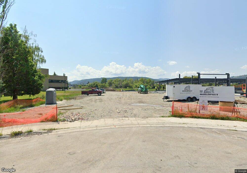
110 & 120 Financial Dr Kalispell, MT 59901
Estimated Value: $539,000
--
Bed
--
Bath
--
Sq Ft
3.74
Acres
About This Home
This home is located at 110 & 120 Financial Dr, Kalispell, MT 59901 and is currently priced at $539,000. 110 & 120 Financial Dr is a home located in Flathead County with nearby schools including Lillian Peterson School, Kalispell Middle School, and Flathead High School.
Ownership History
Date
Name
Owned For
Owner Type
Purchase Details
Closed on
Jun 7, 2022
Sold by
Housing Solutions Inc
Bought by
Kyme & Chinchiper Llp
Current Estimated Value
Home Financials for this Owner
Home Financials are based on the most recent Mortgage that was taken out on this home.
Original Mortgage
$259,811
Interest Rate
5.27%
Mortgage Type
Purchase Money Mortgage
Purchase Details
Closed on
Oct 19, 2021
Sold by
Housing Solutions Inc
Bought by
Creekside Commons Lllp
Purchase Details
Closed on
Oct 17, 2021
Sold by
Housing Solutions Llc
Bought by
Creekside Commons Lllp
Create a Home Valuation Report for This Property
The Home Valuation Report is an in-depth analysis detailing your home's value as well as a comparison with similar homes in the area
Home Values in the Area
Average Home Value in this Area
Purchase History
| Date | Buyer | Sale Price | Title Company |
|---|---|---|---|
| Kyme & Chinchiper Llp | -- | Insured Titles | |
| Creekside Commons Lllp | -- | None Listed On Document | |
| Creekside Commons Lllp | -- | Insured Titles |
Source: Public Records
Mortgage History
| Date | Status | Borrower | Loan Amount |
|---|---|---|---|
| Closed | Kyme & Chinchiper Llp | $259,811 |
Source: Public Records
Tax History Compared to Growth
Tax History
| Year | Tax Paid | Tax Assessment Tax Assessment Total Assessment is a certain percentage of the fair market value that is determined by local assessors to be the total taxable value of land and additions on the property. | Land | Improvement |
|---|---|---|---|---|
| 2025 | $3,965 | $696,471 | $0 | $0 |
| 2024 | $1,552 | $199,272 | $0 | $0 |
| 2023 | $1,995 | $199,272 | $0 | $0 |
| 2022 | $3,995 | $177,476 | $0 | $0 |
| 2021 | $3,738 | $108,236 | $0 | $0 |
| 2020 | $3,654 | $98,441 | $0 | $0 |
| 2019 | $3,631 | $98,441 | $0 | $0 |
| 2018 | $3,524 | $89,200 | $0 | $0 |
| 2017 | $1,309 | $89,200 | $0 | $0 |
| 2016 | $3,204 | $102,528 | $0 | $0 |
| 2015 | $3,128 | $102,528 | $0 | $0 |
| 2014 | $3,415 | $113,286 | $0 | $0 |
Source: Public Records
Map
Nearby Homes
- 630 Corporate Dr
- 622 Corporate Dr
- 163 Greenbriar Dr
- 110 Glenwood Dr Unit C
- 71 Hawthorn Ave
- 1000 W Idaho St
- 114 Lambert Ct
- 15 & 17 Appleway Dr
- 97 Hawthorn W
- 33 Hathaway Ln
- 153 Hawthorn Ave Unit B
- 153 Hawthorn Ave Unit D
- Nhn N Meridian Rd
- Lot 6 Liberty St
- Lot 9 Liberty St
- Lot 7 Liberty St
- 205 Rosewood Dr
- 241 Glenwood Dr
- 577 6th Avenue West N
- 515 W Oregon St
- 110, 120 Financial Dr
- 110 Financial Dr Unit & 120
- 110 Financial Dr
- 100 Financial Dr
- 100 Financial Dr
- 100 Financial Dr
- 100 Financial Dr
- 100 Financial Dr
- 100 Financial Dr
- 100 Financial Dr
- 100 Financial Dr
- 100 Financial Dr
- 100 Financial Dr
- 100 Financial Dr
- 100 Financial Dr Unit 110
- 100 Financial Dr Unit 120
- 100 Financial Dr Unit 200
- 125 Corporate Ct
- 115 Corporate Ct
- 621 Corporate Dr