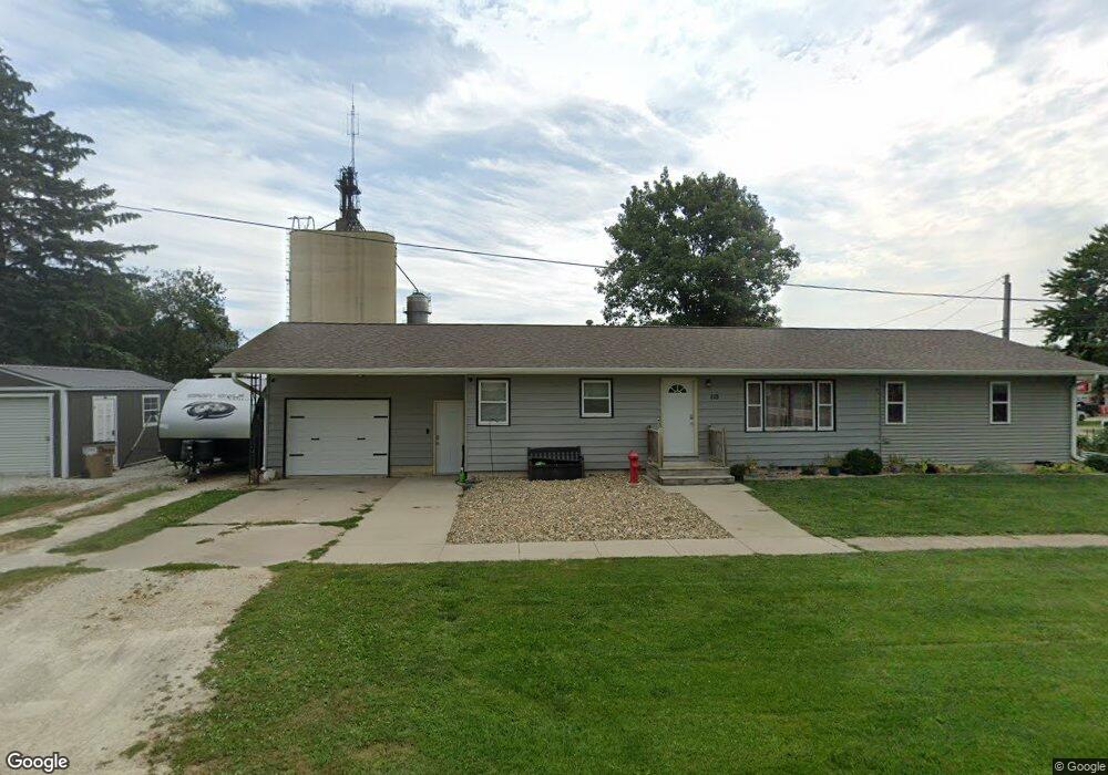
110 6th St N Maynard, IA 50655
Estimated Value: $157,135 - $175,000
3
Beds
3
Baths
1,624
Sq Ft
$102/Sq Ft
Est. Value
About This Home
This home is located at 110 6th St N, Maynard, IA 50655 and is currently estimated at $166,284, approximately $102 per square foot. 110 6th St N is a home located in Fayette County with nearby schools including West Central Community School and West Central Charter High School.
Ownership History
Date
Name
Owned For
Owner Type
Purchase Details
Closed on
May 19, 2025
Sold by
Paul Andrew and Paul Ashley
Bought by
Hansen Robert Allen and Hansen Danielle M
Current Estimated Value
Home Financials for this Owner
Home Financials are based on the most recent Mortgage that was taken out on this home.
Original Mortgage
$165,483
Outstanding Balance
$164,915
Interest Rate
6.81%
Mortgage Type
VA
Estimated Equity
$1,369
Purchase Details
Closed on
Oct 22, 2018
Sold by
Paul Dennis D and Paul Debra
Bought by
Paul Andrew J
Purchase Details
Closed on
Dec 30, 2009
Sold by
Paul Donald C
Bought by
Paul Andrew James
Home Financials for this Owner
Home Financials are based on the most recent Mortgage that was taken out on this home.
Original Mortgage
$45,000
Interest Rate
3%
Mortgage Type
Seller Take Back
Create a Home Valuation Report for This Property
The Home Valuation Report is an in-depth analysis detailing your home's value as well as a comparison with similar homes in the area
Purchase History
| Date | Buyer | Sale Price | Title Company |
|---|---|---|---|
| Hansen Robert Allen | $162,000 | None Listed On Document | |
| Hansen Robert Allen | $162,000 | None Listed On Document | |
| Paul Andrew J | $45,000 | -- | |
| Paul Andrew James | $45,000 | None Available |
Source: Public Records
Mortgage History
| Date | Status | Borrower | Loan Amount |
|---|---|---|---|
| Open | Hansen Robert Allen | $165,483 | |
| Closed | Hansen Robert Allen | $165,483 | |
| Previous Owner | Paul Andrew James | $45,000 |
Source: Public Records
Tax History
| Year | Tax Paid | Tax Assessment Tax Assessment Total Assessment is a certain percentage of the fair market value that is determined by local assessors to be the total taxable value of land and additions on the property. | Land | Improvement |
|---|---|---|---|---|
| 2025 | $2,180 | $140,480 | $6,590 | $133,890 |
| 2024 | $2,180 | $121,950 | $6,590 | $115,360 |
| 2023 | $2,076 | $121,950 | $6,590 | $115,360 |
| 2022 | $1,928 | $98,370 | $5,490 | $92,880 |
| 2021 | $1,928 | $98,370 | $5,490 | $92,880 |
| 2020 | $1,300 | $66,350 | $6,390 | $59,960 |
| 2019 | $1,176 | $56,070 | $0 | $0 |
| 2018 | $1,198 | $56,070 | $0 | $0 |
| 2017 | $1,056 | $45,210 | $0 | $0 |
| 2016 | $1,020 | $45,210 | $0 | $0 |
| 2015 | $1,020 | $0 | $0 | $0 |
| 2014 | $946 | $0 | $0 | $0 |
Source: Public Records
Map
Nearby Homes
Your Personal Tour Guide
Ask me questions while you tour the home.