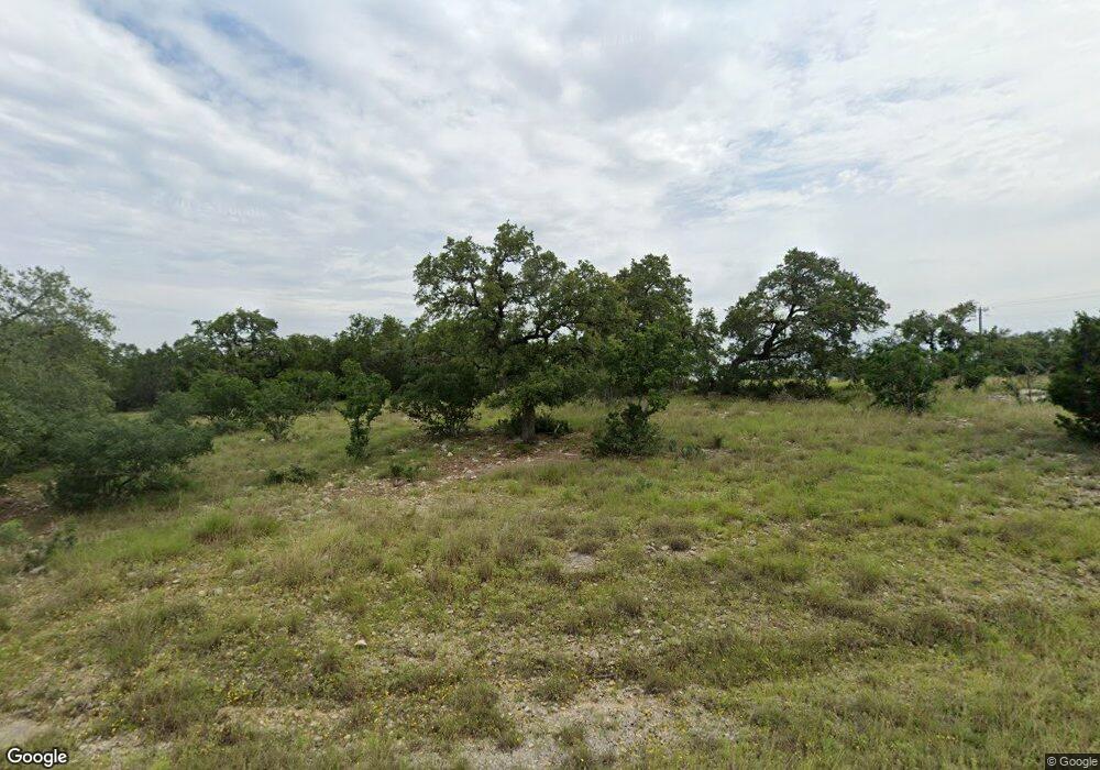
110 Alondra Ln Spring Branch, TX 78070
Estimated Value: $343,000
--
Bed
--
Bath
--
Sq Ft
1.02
Acres
About This Home
This home is located at 110 Alondra Ln, Spring Branch, TX 78070 and is currently estimated at $343,000. 110 Alondra Ln is a home located in Comal County with nearby schools including Rebecca Creek Elementary School, Mt Valley Middle School, and Canyon Lake High School.
Ownership History
Date
Name
Owned For
Owner Type
Purchase Details
Closed on
Aug 5, 2011
Sold by
Mystic Shores Property Owners Associatio
Bought by
Rice Johnathan David and Rice Diana Lynn
Current Estimated Value
Home Financials for this Owner
Home Financials are based on the most recent Mortgage that was taken out on this home.
Original Mortgage
$16,500
Outstanding Balance
$11,398
Interest Rate
4.52%
Mortgage Type
New Conventional
Estimated Equity
$331,602
Purchase Details
Closed on
Jun 11, 2009
Sold by
Bobolick Joseph G
Bought by
Mystic Shores Property Owners Associatio
Create a Home Valuation Report for This Property
The Home Valuation Report is an in-depth analysis detailing your home's value as well as a comparison with similar homes in the area
Home Values in the Area
Average Home Value in this Area
Purchase History
| Date | Buyer | Sale Price | Title Company |
|---|---|---|---|
| Rice Johnathan David | -- | Stc | |
| Mystic Shores Property Owners Associatio | $1,796 | None Available |
Source: Public Records
Mortgage History
| Date | Status | Borrower | Loan Amount |
|---|---|---|---|
| Open | Rice Johnathan David | $16,500 |
Source: Public Records
Tax History Compared to Growth
Tax History
| Year | Tax Paid | Tax Assessment Tax Assessment Total Assessment is a certain percentage of the fair market value that is determined by local assessors to be the total taxable value of land and additions on the property. | Land | Improvement |
|---|---|---|---|---|
| 2025 | $1,430 | $108,230 | $108,230 | -- |
| 2024 | $1,430 | $96,090 | $96,090 | -- |
| 2023 | $1,430 | $106,210 | $106,210 | $0 |
| 2022 | $1,572 | $93,060 | $93,060 | -- |
| 2021 | $757 | $42,480 | $42,480 | $0 |
| 2020 | $669 | $36,110 | $36,110 | $0 |
| 2019 | $564 | $29,740 | $29,740 | $0 |
| 2018 | $563 | $29,740 | $29,740 | $0 |
| 2017 | $456 | $24,280 | $24,280 | $0 |
| 2016 | $380 | $20,230 | $20,230 | $0 |
| 2015 | $380 | $20,230 | $20,230 | $0 |
| 2014 | $380 | $20,230 | $20,230 | $0 |
Source: Public Records
Map
Nearby Homes
- 311 Toucan Dr
- 273 Toucan Dr
- 113 Alondra Ln
- 306 Toucan Dr
- 319 Toucan Dr
- 237 Toucan Dr
- 340 Warbler Dr
- 356 Warbler Dr
- 149 Alondra Ln
- 5028 Tanglewood Trail
- 353 Warbler Dr
- 4575 Tanglewood Trail
- 1475 Echo Meadow Ln
- 1456 Green Meadow Ln
- 1230 Echo Meadow Ln
- 645 Jonquil Dr
- 161 Sunnyside Ct
- 1652 Bob White Dr
- 661 Jonquil Dr
- 192 Macaw Ln
- 277 Toucan Dr
- 118 Alondra Ln
- 310 Toucan Dr
- 276 Toucan Dr
- 121 Alondra Ln
- 314 Toucan Dr
- 269 Toucan Dr
- 130 Alondra Ln Unit 17
- 117 Alondra Ln
- 318 Toucan Dr
- 347 Toucan Dr
- 357 (LOT 1239) Toucan Dr
- 272 Toucan Dr
- 338 Toucan Dr
- 346 (LOT 1244) Toucan Dr
- 342 (LOT 1245) Toucan Dr
- 334 Toucan Dr
- 225 (LOT 1191) Toucan Dr
- 357 Toucan Dr
- 265 Toucan Dr
