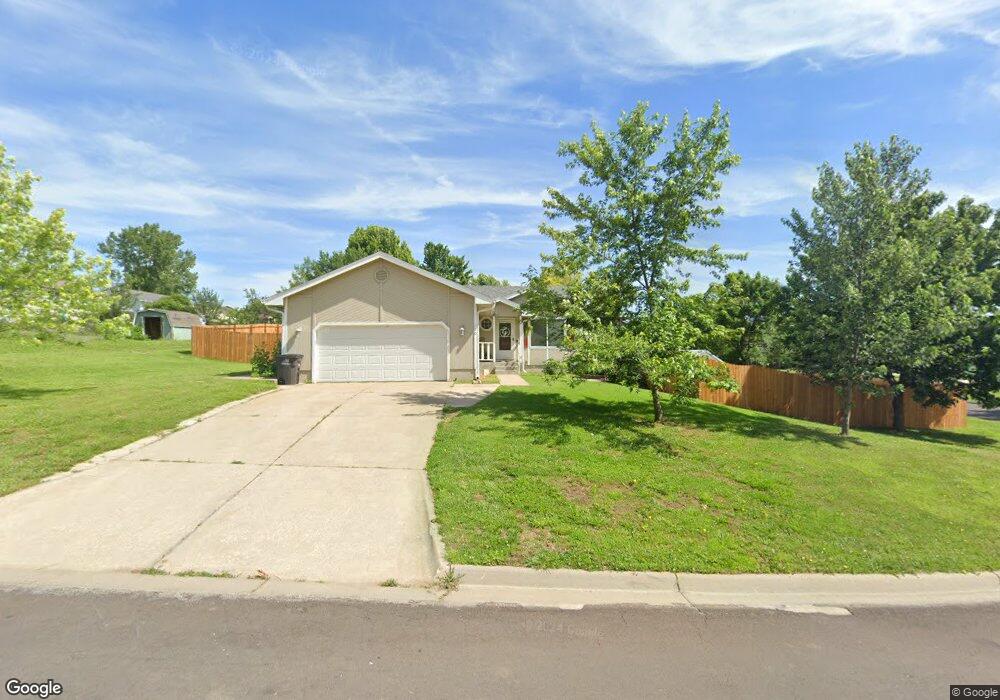
110 Apache Dr Saint Marys, KS 66536
Estimated Value: $221,000 - $257,120
4
Beds
3
Baths
1,852
Sq Ft
$132/Sq Ft
Est. Value
About This Home
This home is located at 110 Apache Dr, Saint Marys, KS 66536 and is currently estimated at $245,030, approximately $132 per square foot. 110 Apache Dr is a home located in Pottawatomie County with nearby schools including St. Marys Elementary School and St. Marys Junior/Senior High School.
Ownership History
Date
Name
Owned For
Owner Type
Purchase Details
Closed on
Feb 21, 2019
Sold by
Goldade Joseph and Goldade Brenda
Bought by
Goldade Edward
Current Estimated Value
Home Financials for this Owner
Home Financials are based on the most recent Mortgage that was taken out on this home.
Original Mortgage
$172,900
Outstanding Balance
$151,700
Interest Rate
4.4%
Mortgage Type
New Conventional
Estimated Equity
$93,330
Purchase Details
Closed on
Sep 20, 2010
Sold by
Secretary Of Hud
Bought by
Riccomini James and Ard Anne
Home Financials for this Owner
Home Financials are based on the most recent Mortgage that was taken out on this home.
Original Mortgage
$79,025
Interest Rate
4.42%
Purchase Details
Closed on
Feb 12, 2010
Sold by
Horgan Courtney M and Horgan Melissa
Bought by
The Secretary Of Hud
Create a Home Valuation Report for This Property
The Home Valuation Report is an in-depth analysis detailing your home's value as well as a comparison with similar homes in the area
Purchase History
| Date | Buyer | Sale Price | Title Company |
|---|---|---|---|
| Goldade Edward | -- | -- | |
| Riccomini James | -- | None Available | |
| The Secretary Of Hud | $131,330 | Continental Title |
Source: Public Records
Mortgage History
| Date | Status | Borrower | Loan Amount |
|---|---|---|---|
| Open | Goldade Edward | $172,900 | |
| Previous Owner | Riccomini James | $79,025 |
Source: Public Records
Map
Nearby Homes
- Lot 1 Valley View Rd
- Lot 5 Valley View Rd
- Lot 20 Valley View Rd
- Lot 4 Valley View Rd
- Lot 2 Valley View Rd
- Lot 17 Valley View Rd
- Lot 6 Valley View Rd
- Lot 19 Valley View Rd
- Lot 18 Valley View Rd
- Lot 24 Valley View Rd
- 412 N 6th St
- 407 Alma St
- 715 W Alma St
- 508 W Mission St
- 802 W Mission St
- 210 S 6th St
- 205 S 4th St
- 000 Wabaunsee Rd E
- 0000 Wabaunsee Rd E
- 5520 Ambush Rd
- 110 E Apache St
- 106 E Apache St
- 1203 N Navajo Dr
- 1206 N Pawnee Dr
- 111 E Apache St
- 109 E Apache St
- 1203 N Pawnee Dr
- 115 Apache Dr
- 115 E Apache St
- 1205 N Navajo Dr
- 107 E Apache St
- 105 E Apache St
- 1205 N Pawnee Dr
- 1207 N Navajo Dr
- 103 E Apache St
- 1204 N Navajo Dr
- 110 E Tomahawk Dr
- 108 E Tomahawk Dr
- 1209 N Pawnee Dr
Your Personal Tour Guide
Ask me questions while you tour the home.