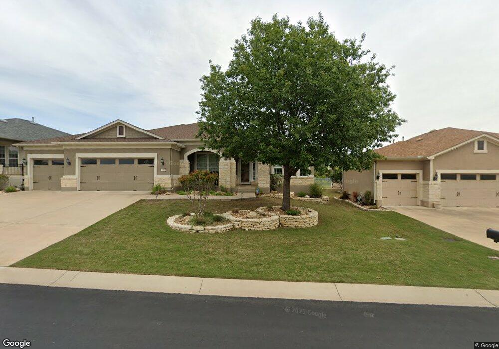
110 Apache Mountain Ln Georgetown, TX 78633
Sun City NeighborhoodEstimated Value: $590,000 - $639,000
About This Home
This home is located at 110 Apache Mountain Ln, Georgetown, TX 78633 and is currently estimated at $612,441, approximately $237 per square foot. 110 Apache Mountain Ln is a home located in Williamson County.
Ownership History
We collect this data history from publicly available records. To have your information removed, we recommend requesting removal directly through your county’s website.
Purchase Details
Home Financials for this Owner
Home Financials are based on the most recent Mortgage that was taken out on this home.Home Values in the Area
Average Home Value in this Area
Purchase History
We collect this data history from publicly available records. To have your information removed, we recommend requesting removal directly through your county’s website.
| Date | Buyer | Sale Price | Title Company |
|---|---|---|---|
| -- | None Available |
Mortgage History
We collect this data history from publicly available records. To have your information removed, we recommend requesting removal directly through your county’s website.
| Date | Status | Borrower | Loan Amount |
|---|---|---|---|
| Open | $260,401 |
Tax History
We collect this data history from publicly available records. To have your information removed, we recommend requesting removal directly through your county’s website.
| Year | Tax Paid | Tax Assessment Tax Assessment Total Assessment is a certain percentage of the fair market value that is determined by local assessors to be the total taxable value of land and additions on the property. | Land | Improvement |
|---|---|---|---|---|
| 2025 | $3,496 | $657,699 | -- | -- |
| 2024 | $3,496 | $597,908 | $104,500 | $493,408 |
| 2023 | $3,508 | $613,069 | $0 | $0 |
| 2022 | $10,942 | $557,335 | $0 | $0 |
| 2021 | $10,973 | $502,462 | $88,000 | $434,244 |
| 2020 | $10,130 | $456,784 | $83,820 | $372,964 |
| 2019 | $10,691 | $467,274 | $83,460 | $383,814 |
| 2018 | $6,002 | $471,231 | $83,460 | $387,771 |
| 2017 | $10,543 | $456,514 | $78,000 | $378,514 |
| 2016 | $10,586 | $458,377 | $76,000 | $382,377 |
| 2015 | $6,142 | $429,031 | $76,000 | $361,708 |
| 2014 | $6,142 | $390,028 | $0 | $0 |
Map
- 300 Pipe Creek Ln
- 147 Prairie Creek Trail
- 101 Angelina Cove
- 136 Prairie Creek Trail
- 704 Independence Creek Ln
- 214 Summit St
- 220 Coffee Mill Creek Rd
- 915 Apache Mountain Ln
- 101 Copperas Creek Cove
- 103 Rock Canon Ln
- 102 Pointer Ln
- 407 Fort Griffin Trail
- 202 Palmetto Dr
- 300 Hanging Star Ln
- 205 Standing Oak Dr
- 202 Farm Hill Dr
- 110 Lampasas Pass
- 834 Salado Creek Ln
- 321 Cooper Lake Dr
- 108 Farm Hill Dr
- 112 Apache Mountain Ln
- 108 Apache Mountain Ln
- 106 Apache Mountain Ln
- 202 Apache Mountain Ln
- 414 Capote Peak Dr
- 104 Apache Mountain Ln
- 411 Capote Peak Dr
- 204 Apache Mountain Ln
- 105 Apache Mountain Ln
- 409 Capote Peak Dr
- 412 Capote Peak Dr
- 206 Apache Mountain Ln
- 102 Apache Mountain Ln
- 101 Apache Mountain Ln
- 410 Capote Peak Dr
- 407 Capote Peak Dr
- 208 Apache Mountain Ln
- 207 Apache Mountain Ln
- 406 Capote Peak Dr
- 405 Capote Peak Dr
Ask me questions while you tour the home.