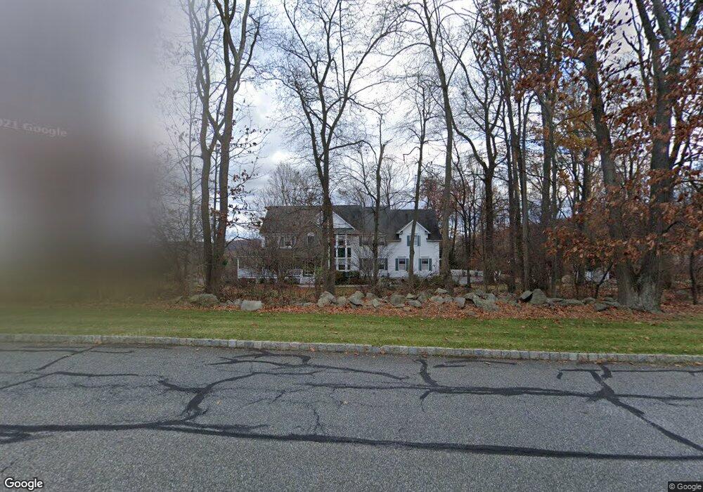
110 Apgar Way Asbury, NJ 08802
Estimated Value: $882,319 - $1,034,000
--
Bed
--
Bath
4,488
Sq Ft
$218/Sq Ft
Est. Value
About This Home
This home is located at 110 Apgar Way, Asbury, NJ 08802 and is currently estimated at $976,330, approximately $217 per square foot. 110 Apgar Way is a home located in Hunterdon County with nearby schools including Thomas.B. Conley Elementary School, Ethel Hoppock Middle School, and North Hunterdon High School.
Ownership History
Date
Name
Owned For
Owner Type
Purchase Details
Closed on
Jul 28, 2000
Sold by
Land Hs
Bought by
Butler Pierce and Butler Darlene
Current Estimated Value
Home Financials for this Owner
Home Financials are based on the most recent Mortgage that was taken out on this home.
Original Mortgage
$389,000
Outstanding Balance
$139,852
Interest Rate
8.1%
Estimated Equity
$836,478
Create a Home Valuation Report for This Property
The Home Valuation Report is an in-depth analysis detailing your home's value as well as a comparison with similar homes in the area
Home Values in the Area
Average Home Value in this Area
Purchase History
| Date | Buyer | Sale Price | Title Company |
|---|---|---|---|
| Butler Pierce | $449,000 | -- |
Source: Public Records
Mortgage History
| Date | Status | Borrower | Loan Amount |
|---|---|---|---|
| Open | Butler Pierce | $389,000 |
Source: Public Records
Tax History Compared to Growth
Tax History
| Year | Tax Paid | Tax Assessment Tax Assessment Total Assessment is a certain percentage of the fair market value that is determined by local assessors to be the total taxable value of land and additions on the property. | Land | Improvement |
|---|---|---|---|---|
| 2025 | $17,762 | $927,000 | $278,200 | $648,800 |
| 2024 | $17,091 | $545,000 | $133,500 | $411,500 |
| 2023 | $17,091 | $545,000 | $133,500 | $411,500 |
| 2022 | $16,530 | $545,000 | $133,500 | $411,500 |
| 2021 | $15,947 | $545,000 | $133,500 | $411,500 |
| 2020 | $16,323 | $545,000 | $133,500 | $411,500 |
| 2019 | $15,947 | $545,000 | $133,500 | $411,500 |
| 2018 | $15,549 | $545,000 | $133,500 | $411,500 |
| 2017 | $15,445 | $545,000 | $133,500 | $411,500 |
| 2016 | $15,794 | $545,000 | $133,500 | $411,500 |
| 2015 | $15,800 | $545,000 | $133,500 | $411,500 |
| 2014 | $15,282 | $545,000 | $133,500 | $411,500 |
Source: Public Records
Map
Nearby Homes
- 919 Iron Bridge Rd
- 531 Ludlow Station Rd
- 2 Stony Brook Ln
- 500 Charlestown Rd
- 42 Witte Rd
- 26 Thrush Ln
- 526 Charlestown Rd
- 478 Charlestown Rd
- 10 Wyckoff Rd
- 834 Norton Church Rd
- 853 Norton Church Rd
- 368 Strotz Rd
- 14 Kensington Ct
- 1 Dove Hollow Ln
- 601 Fox Farm Rd
- 23 Bloomsbury Rd
- 13 Kalan Farm Rd
- 16 Surry Lane16
- 14 Kalan Farm Rd
- 420 Bellwood Ave