110 Beauregard Rd East Brookfield, MA 01515
Estimated Value: $318,000 - $406,835
3
Beds
2
Baths
1,034
Sq Ft
$336/Sq Ft
Est. Value
About This Home
This home is located at 110 Beauregard Rd, East Brookfield, MA 01515 and is currently estimated at $347,209, approximately $335 per square foot. 110 Beauregard Rd is a home with nearby schools including David Prouty High School.
Ownership History
Date
Name
Owned For
Owner Type
Purchase Details
Closed on
Feb 9, 2006
Sold by
Arnold Adele J and Whitcomb Jacquelyn Obrie
Bought by
Beauregard Patrick K
Current Estimated Value
Home Financials for this Owner
Home Financials are based on the most recent Mortgage that was taken out on this home.
Original Mortgage
$274,000
Outstanding Balance
$154,890
Interest Rate
6.27%
Mortgage Type
Purchase Money Mortgage
Estimated Equity
$192,319
Create a Home Valuation Report for This Property
The Home Valuation Report is an in-depth analysis detailing your home's value as well as a comparison with similar homes in the area
Home Values in the Area
Average Home Value in this Area
Purchase History
| Date | Buyer | Sale Price | Title Company |
|---|---|---|---|
| Beauregard Patrick K | $176,000 | -- | |
| Beauregard Patrick K | $176,000 | -- |
Source: Public Records
Mortgage History
| Date | Status | Borrower | Loan Amount |
|---|---|---|---|
| Open | Beauregard Patrick K | $274,000 | |
| Closed | Beauregard Patrick K | $274,000 |
Source: Public Records
Tax History Compared to Growth
Tax History
| Year | Tax Paid | Tax Assessment Tax Assessment Total Assessment is a certain percentage of the fair market value that is determined by local assessors to be the total taxable value of land and additions on the property. | Land | Improvement |
|---|---|---|---|---|
| 2025 | $4,028 | $313,700 | $280,400 | $33,300 |
| 2024 | $3,772 | $295,400 | $254,600 | $40,800 |
| 2023 | $2,868 | $218,800 | $178,000 | $40,800 |
| 2022 | $2,500 | $184,800 | $147,000 | $37,800 |
| 2021 | $2,650 | $178,700 | $147,000 | $31,700 |
| 2020 | $2,622 | $176,900 | $147,000 | $29,900 |
| 2019 | $2,862 | $173,800 | $147,000 | $26,800 |
| 2018 | $2,664 | $172,300 | $146,900 | $25,400 |
| 2017 | $2,597 | $159,500 | $136,000 | $23,500 |
| 2016 | $2,748 | $157,400 | $136,000 | $21,400 |
| 2015 | $2,732 | $157,400 | $136,000 | $21,400 |
| 2014 | $2,742 | $157,400 | $136,000 | $21,400 |
Source: Public Records
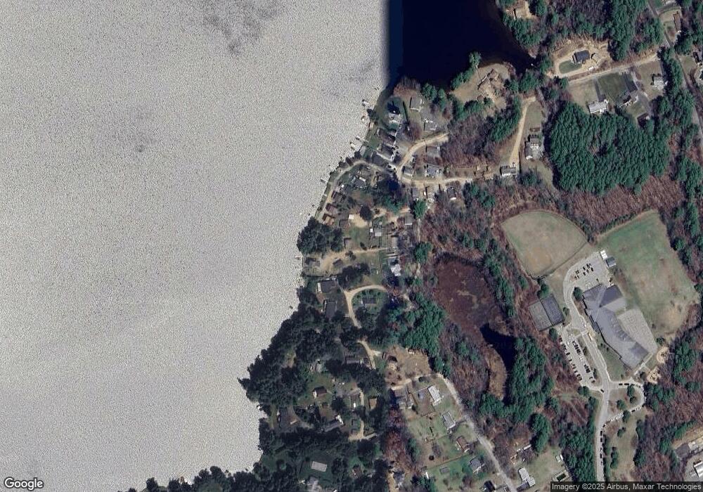
Map
Nearby Homes
- 220 Harrington Cir
- 294 E Main St
- 23 Shore Rd
- 3 River Rd
- 3 Pine Rd
- 34 North St
- 40 and 42 North St
- 0 North St
- 210 E Main St
- 11 Brickyard Rd
- 0 Oakland Dr
- 105 Hodgkins Dr
- 58 S Spencer Rd
- 2 Crestview Dr Unit 52
- 17 Bixby Rd Unit 2
- 17 Bixby Rd Unit 7
- 62 Meadow Rd
- 4 Crestview Dr Unit 54
- 30 Town Farm Rd
- 12 Crown St
- 166 Lashaway Dr
- 105 Beauregard Rd
- 125 Park St
- 123 Park St
- 164 Lashaway Dr
- 107 Beauregard Rd
- 165 Lashaway Dr
- 121 Park St
- 100 Lashaway Drive Cir
- 119 Park St
- 150 Lashaway Dr
- 156 Lashaway Dr
- 160 Lashaway Dr
- 109 Lashaway Drive Cir
- 117 Park St
- 113 Park St
- 111 Park St
- 109 Park St
- 115 Park St
- 110 Lashaway Drive Cir