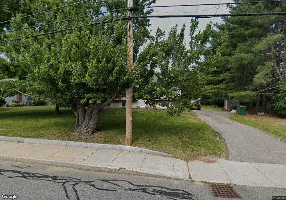
110 Branch St Mansfield, MA 02048
Estimated Value: $576,198 - $679,000
3
Beds
2
Baths
1,132
Sq Ft
$559/Sq Ft
Est. Value
About This Home
This home is located at 110 Branch St, Mansfield, MA 02048 and is currently estimated at $632,300, approximately $558 per square foot. 110 Branch St is a home located in Bristol County with nearby schools including Everett W. Robinson Elementary School, Jordan/Jackson Elementary School, and Harold L. Qualters Middle School.
Create a Home Valuation Report for This Property
The Home Valuation Report is an in-depth analysis detailing your home's value as well as a comparison with similar homes in the area
Home Values in the Area
Average Home Value in this Area
Tax History
| Year | Tax Paid | Tax Assessment Tax Assessment Total Assessment is a certain percentage of the fair market value that is determined by local assessors to be the total taxable value of land and additions on the property. | Land | Improvement |
|---|---|---|---|---|
| 2025 | $6,773 | $514,300 | $243,200 | $271,100 |
| 2024 | $6,387 | $473,100 | $243,200 | $229,900 |
| 2023 | $6,246 | $443,300 | $243,200 | $200,100 |
| 2022 | $6,062 | $399,600 | $225,100 | $174,500 |
| 2021 | $5,674 | $369,400 | $197,000 | $172,400 |
| 2020 | $5,600 | $364,600 | $187,600 | $177,000 |
| 2019 | $5,240 | $344,300 | $156,300 | $188,000 |
| 2018 | $5,020 | $322,400 | $149,000 | $173,400 |
| 2017 | $4,827 | $321,400 | $144,800 | $176,600 |
| 2016 | $4,771 | $309,600 | $137,900 | $171,700 |
| 2015 | $4,422 | $285,300 | $137,900 | $147,400 |
Source: Public Records
Map
Nearby Homes
- 44 Fairfield Park Unit 44
- 46 Hope St
- 28 Court St
- 1 Deer Path Ln
- 266 N Main St Unit 3
- 81 Chilson Ave
- 150 Rumford Ave Unit 110
- 22 Pleasant St Unit C
- 460 Ware St
- 152 Central St
- 166 Chauncy St
- 571 Ware St
- 73-75 Draper Ave
- 14 Windchime Dr
- 619 N Main St
- 4 Concetta Cir
- 356 Central St
- 4 Erick Rd Unit 90
- 212 Mill St
- 19 Barberry Rd
Your Personal Tour Guide
Ask me questions while you tour the home.