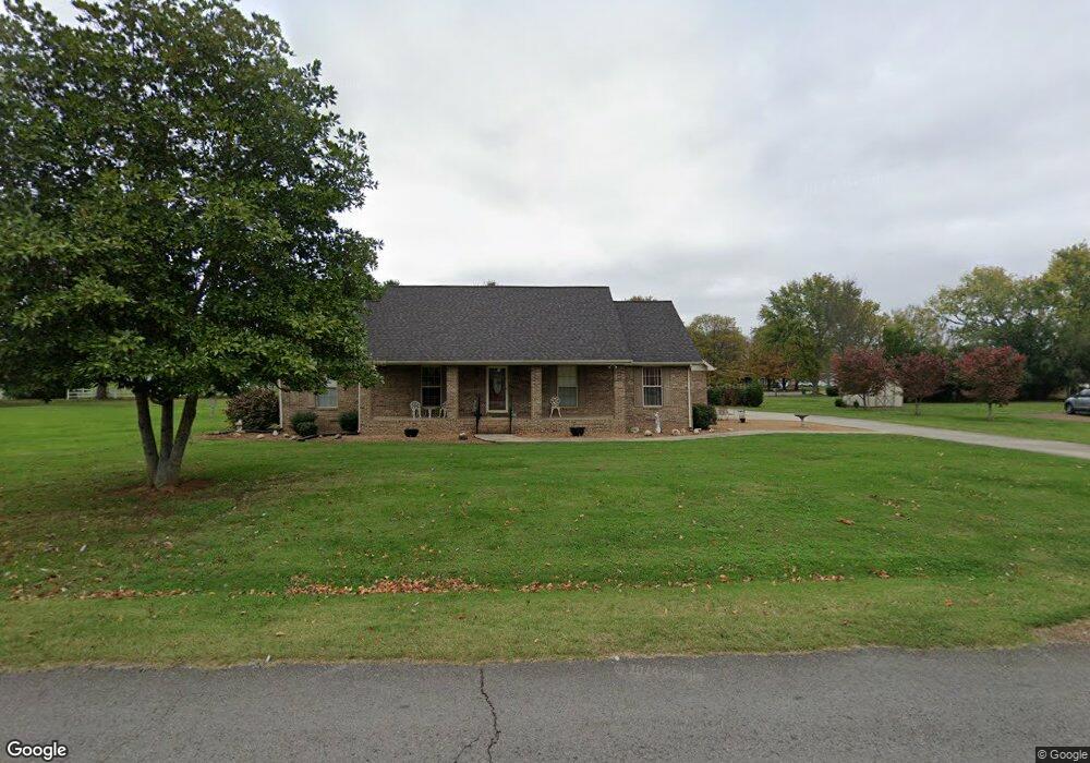
110 Brandi Way Winchester, TN 37398
Estimated Value: $318,005 - $397,000
--
Bed
3
Baths
1,842
Sq Ft
$199/Sq Ft
Est. Value
About This Home
This home is located at 110 Brandi Way, Winchester, TN 37398 and is currently estimated at $366,001, approximately $198 per square foot. 110 Brandi Way is a home located in Franklin County with nearby schools including North Middle School, Franklin County High School, and Winchester Christian Academy.
Ownership History
Date
Name
Owned For
Owner Type
Purchase Details
Closed on
Aug 31, 2004
Sold by
Campbell Thomas P
Bought by
Cumming James L
Current Estimated Value
Purchase Details
Closed on
Dec 11, 2003
Sold by
Wallace Jon P
Bought by
Cumming James L
Purchase Details
Closed on
Aug 21, 1997
Sold by
Womack William W
Bought by
Wallace Jon P and Wallace Lisa H
Purchase Details
Closed on
Jan 11, 1996
Bought by
Womack William W
Purchase Details
Closed on
Aug 7, 1985
Bought by
Clark Doris J and Clark Vickie D Morris
Purchase Details
Closed on
Sep 6, 1983
Create a Home Valuation Report for This Property
The Home Valuation Report is an in-depth analysis detailing your home's value as well as a comparison with similar homes in the area
Home Values in the Area
Average Home Value in this Area
Purchase History
| Date | Buyer | Sale Price | Title Company |
|---|---|---|---|
| Cumming James L | $15,000 | -- | |
| Cumming James L | $138,000 | -- | |
| Wallace Jon P | $130,000 | -- | |
| Womack William W | $13,500 | -- | |
| Clark Doris J | $10,200 | -- | |
| -- | -- | -- |
Source: Public Records
Mortgage History
| Date | Status | Borrower | Loan Amount |
|---|---|---|---|
| Closed | Not Available | $0 |
Source: Public Records
Tax History Compared to Growth
Tax History
| Year | Tax Paid | Tax Assessment Tax Assessment Total Assessment is a certain percentage of the fair market value that is determined by local assessors to be the total taxable value of land and additions on the property. | Land | Improvement |
|---|---|---|---|---|
| 2024 | -- | $71,725 | $11,250 | $60,475 |
| 2023 | $1,844 | $71,725 | $11,250 | $60,475 |
| 2022 | $1,808 | $71,725 | $11,250 | $60,475 |
| 2021 | $1,074 | $71,725 | $11,250 | $60,475 |
| 2020 | $1,482 | $41,950 | $4,600 | $37,350 |
| 2019 | $1,453 | $41,950 | $4,600 | $37,350 |
| 2018 | $1,368 | $41,100 | $4,600 | $36,500 |
| 2017 | $1,368 | $41,100 | $4,600 | $36,500 |
| 2016 | $1,300 | $39,050 | $4,600 | $34,450 |
| 2015 | $1,276 | $39,050 | $4,600 | $34,450 |
| 2014 | $1,273 | $38,962 | $0 | $0 |
Source: Public Records
Map
Nearby Homes
- 103 Lisa Cir
- 510 N Porter St
- 0 N Porter St
- 303 N Porter St
- 0 Spring Hill Dr
- 203 3rd Ave NE
- 201&203 3rd Ave NE
- 311 N Jefferson St
- 209 N Jefferson St
- 715 N High St
- 1108 N Jefferson St
- 706 N Vine St
- 713 N Vine St
- 211 S Porter St
- 213 S Porter St
- 215 S Porter St
- 74 Summerlake Ct
- 0 Summerlake Ct Unit RTC2936678
- 0 Summerlake Ct Unit RTC2936679
- 0 Summerlake Ct Unit RTC2936676