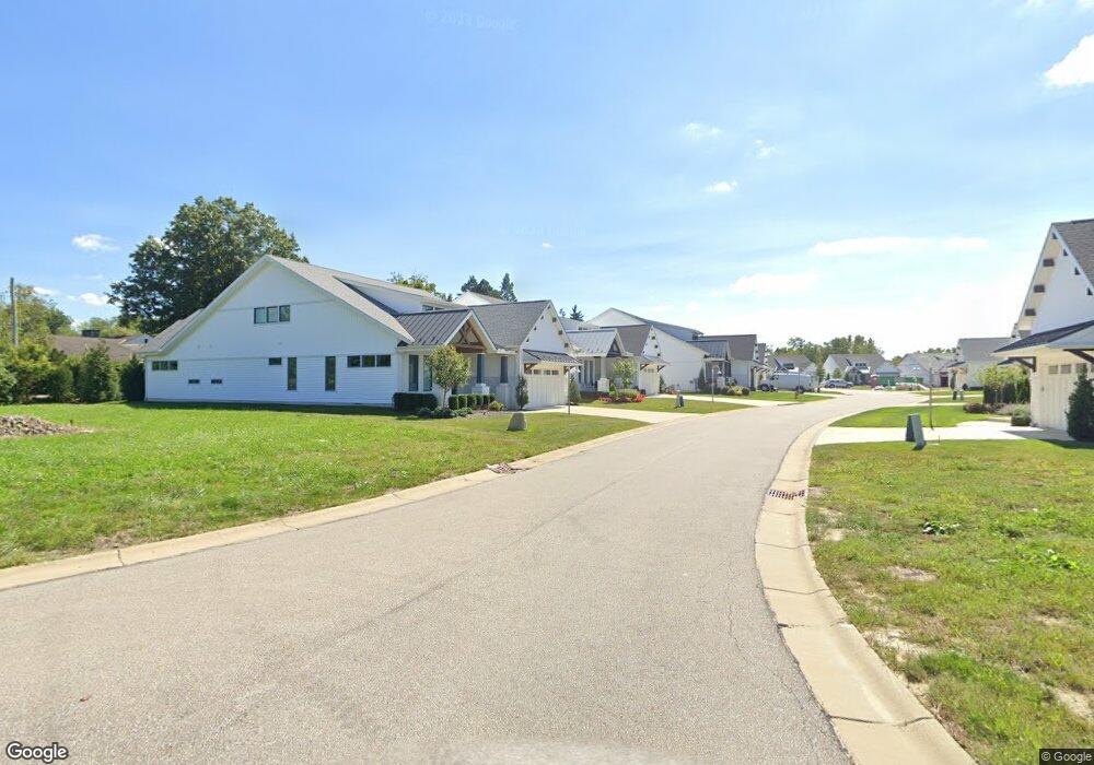
110 Bridgeport Way Mayfield Heights, OH 44124
Estimated Value: $724,231 - $963,000
3
Beds
2
Baths
2,547
Sq Ft
$338/Sq Ft
Est. Value
About This Home
This home is located at 110 Bridgeport Way, Mayfield Heights, OH 44124 and is currently estimated at $859,744, approximately $337 per square foot. 110 Bridgeport Way is a home with nearby schools including Mayfield High School, Gilmour Academy, and Corpus Christi Academy.
Ownership History
Date
Name
Owned For
Owner Type
Purchase Details
Closed on
Jun 10, 2025
Sold by
Rabb Ellen Hersch and Ellen Hersch Rabb Revocable Trust
Bought by
Ellen Hersch Rabb Revocable Trust and Rabb
Current Estimated Value
Purchase Details
Closed on
Feb 14, 2019
Sold by
Wimbledon Land Co
Bought by
Rabb Ellen Hersch
Home Financials for this Owner
Home Financials are based on the most recent Mortgage that was taken out on this home.
Original Mortgage
$434,900
Interest Rate
4.4%
Mortgage Type
Construction
Create a Home Valuation Report for This Property
The Home Valuation Report is an in-depth analysis detailing your home's value as well as a comparison with similar homes in the area
Home Values in the Area
Average Home Value in this Area
Purchase History
| Date | Buyer | Sale Price | Title Company |
|---|---|---|---|
| Ellen Hersch Rabb Revocable Trust | -- | None Listed On Document | |
| Rabb Ellen Hersch | $90,000 | Erie Title Agency |
Source: Public Records
Mortgage History
| Date | Status | Borrower | Loan Amount |
|---|---|---|---|
| Previous Owner | Rabb Ellen Hersch | $434,900 |
Source: Public Records
Tax History Compared to Growth
Tax History
| Year | Tax Paid | Tax Assessment Tax Assessment Total Assessment is a certain percentage of the fair market value that is determined by local assessors to be the total taxable value of land and additions on the property. | Land | Improvement |
|---|---|---|---|---|
| 2024 | $14,035 | $218,750 | $30,380 | $188,370 |
| 2023 | $12,142 | $170,770 | $25,730 | $145,040 |
| 2022 | $12,213 | $170,770 | $25,730 | $145,040 |
| 2021 | $12,084 | $170,770 | $25,730 | $145,040 |
| 2020 | $12,767 | $165,800 | $24,990 | $140,810 |
| 2019 | $2,032 | $71,400 | $71,400 | $0 |
| 2018 | $2,014 | $24,990 | $24,990 | $0 |
| 2017 | $881 | $9,240 | $9,240 | $0 |
| 2016 | $875 | $9,240 | $9,240 | $0 |
| 2015 | $818 | $9,240 | $9,240 | $0 |
| 2014 | $818 | $9,240 | $9,240 | $0 |
Source: Public Records
Map
Nearby Homes
- 46 Bridgeport Way
- 43 Bridgeport Way
- 31000 Cedar Rd
- S/L 1 Bridgeport Way
- 30776 Cedar Rd
- 31799 Gates Mills Blvd
- 30700 Ainsworth Dr
- 2522 Edgewood Trace
- 2540 Edgewood Trace
- 2401 Edgewood Trace
- 2405 Edgewood Trace
- 5960 Cantwell Dr
- 2422 Edgewood Trace
- 6344 Woodhawk Dr
- 6132 Westerham Rd
- 2471 Snowberry Ln
- 140 Fox Hollow Dr Unit 201A
- 5831 Alberta Dr
- 5814 Tiffany Ct
- 5824 Tiffany Ct Unit 5824
- 42 Bridgeport Way
- 106 Bridgeport Way
- 106 Bridgeport Way
- 114 Bridgeport Way
- S/L 29D Bridgeport Way
- S/L 29C Bridgeport Way
- 118 Bridgeport Way
- 122 Bridgeport Way
- 148 Bridgeport Way
- 6096 Landerhaven Dr
- 109 Bridgeport Way
- 40 Bridgeport Way
- 41 Bridgeport Way
- 27 Bridgeport Way
- 33 Bridgeport Way
- 37 Bridgeport Way
- 113 Bridgeport Way
- 105 Bridgeport Way
- 113 Bridgeport Way
- 126 Bridgeport Way