110 Brink Bend Ct Murfreesboro, TN 37130
Estimated Value: $561,000 - $773,372
--
Bed
5
Baths
1,900
Sq Ft
$350/Sq Ft
Est. Value
About This Home
This home is located at 110 Brink Bend Ct, Murfreesboro, TN 37130 and is currently estimated at $665,593, approximately $350 per square foot. 110 Brink Bend Ct is a home located in Rutherford County with nearby schools including Kittrell Elementary School, Whitworth-Buchanan Middle School, and Oakland High School.
Ownership History
Date
Name
Owned For
Owner Type
Purchase Details
Closed on
Jan 31, 2007
Sold by
Brink James A
Bought by
Miller Marsia R
Current Estimated Value
Home Financials for this Owner
Home Financials are based on the most recent Mortgage that was taken out on this home.
Original Mortgage
$300,000
Outstanding Balance
$205,784
Interest Rate
8.95%
Estimated Equity
$459,809
Create a Home Valuation Report for This Property
The Home Valuation Report is an in-depth analysis detailing your home's value as well as a comparison with similar homes in the area
Home Values in the Area
Average Home Value in this Area
Purchase History
| Date | Buyer | Sale Price | Title Company |
|---|---|---|---|
| Miller Marsia R | $375,000 | -- |
Source: Public Records
Mortgage History
| Date | Status | Borrower | Loan Amount |
|---|---|---|---|
| Open | Miller Marsia R | $300,000 | |
| Closed | Miller Marsia R | $75,000 |
Source: Public Records
Tax History Compared to Growth
Tax History
| Year | Tax Paid | Tax Assessment Tax Assessment Total Assessment is a certain percentage of the fair market value that is determined by local assessors to be the total taxable value of land and additions on the property. | Land | Improvement |
|---|---|---|---|---|
| 2025 | $3,034 | $161,700 | $32,750 | $128,950 |
| 2024 | $3,034 | $177,175 | $32,750 | $144,425 |
| 2023 | $3,324 | $177,175 | $32,750 | $144,425 |
| 2022 | $2,864 | $177,175 | $32,750 | $144,425 |
| 2021 | $2,456 | $110,675 | $19,125 | $91,550 |
| 2020 | $2,456 | $110,675 | $19,125 | $91,550 |
| 2019 | $2,456 | $110,675 | $19,125 | $91,550 |
Source: Public Records
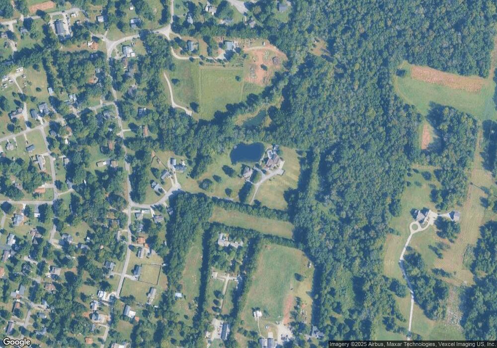
Map
Nearby Homes
- 2420 Central Blvd
- 123 Juliet Ave
- 2519 E Main St
- 316 Yearwood Ave
- 3410 E Main St
- 2407 E Main St
- 0 Double Springs Rd
- 5485 John Bragg Hwy
- 208 Jakes Ave
- 706 N Rutherford Blvd
- 1014 Gleaning Ct
- Ironwood Plan at Farmhouse Downs - Cambridge Collection
- 1017 Gleaning Ct
- Aspen Plan at Farmhouse Downs - Cambridge Collection
- Alan Plan at Farmhouse Downs - Cambridge Collection
- 1013 Gleaning Ct
- 1010 Gleaning Ct
- Broadmoor Plan at Farmhouse Downs - Cambridge Collection
- 703 Chickasaw Rd
- 2514 Keegan Dr
- 120 Brink Bend Ct
- 36.49 Ac Indian Creek
- 31.3 AC Austin
- 130 AC Highway 70 N
- Lot 147 E Bobcat Point E
- 2.84 Ac Sells Cemetary Rd Tract 11
- 804 Hwy 470
- 0 Southside Dr Unit 3255694
- 0 Southside Dr Unit 20160281
- 0 Lakeview Dr Unit LOT14 7350803
- 0 Sandy Springs Ln
- 201+280 Walnut Hollow
- 14300 Us Hwy 17
- 0 Mt Helen Rd 15 30 Acres
- 0 Stockton Rd 30 Acres
- 0 Mt Helen Rd 10 20 Acres
- 0 Stockton Rd 200 Acres
- 0 Stockton Rd 10 Acres
- --- Stone Cliff Ridge
- Lot 3 Schelly Cave Acres