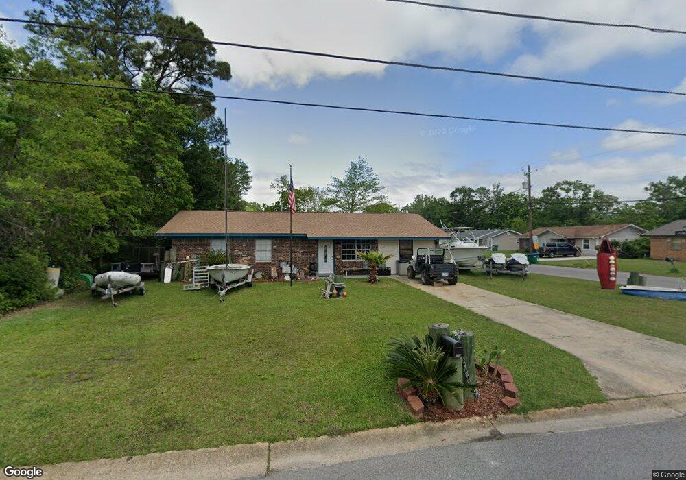
110 Brumbaugh Rd Ocean Springs, MS 39564
Estimated Value: $191,681 - $272,000
--
Bed
1
Bath
1,350
Sq Ft
$170/Sq Ft
Est. Value
About This Home
This home is located at 110 Brumbaugh Rd, Ocean Springs, MS 39564 and is currently estimated at $229,670, approximately $170 per square foot. 110 Brumbaugh Rd is a home located in Jackson County with nearby schools including Oak Park Elementary School, Ocean Springs Middle School, and Ocean Springs High School.
Ownership History
Date
Name
Owned For
Owner Type
Purchase Details
Closed on
Feb 2, 2010
Sold by
Joseph William Joseph William and Bartusiak Megan Marie
Bought by
Bartusiak Joseph William
Current Estimated Value
Purchase Details
Closed on
Nov 30, 2005
Sold by
Quality Living Llc
Bought by
Bartusiak Joseph William and Bartusiak Megan Marie
Home Financials for this Owner
Home Financials are based on the most recent Mortgage that was taken out on this home.
Original Mortgage
$99,975
Interest Rate
6.04%
Create a Home Valuation Report for This Property
The Home Valuation Report is an in-depth analysis detailing your home's value as well as a comparison with similar homes in the area
Home Values in the Area
Average Home Value in this Area
Purchase History
| Date | Buyer | Sale Price | Title Company |
|---|---|---|---|
| Bartusiak Joseph William | -- | -- | |
| Bartusiak Joseph William | -- | -- |
Source: Public Records
Mortgage History
| Date | Status | Borrower | Loan Amount |
|---|---|---|---|
| Previous Owner | Bartusiak Joseph William | $99,975 |
Source: Public Records
Tax History Compared to Growth
Tax History
| Year | Tax Paid | Tax Assessment Tax Assessment Total Assessment is a certain percentage of the fair market value that is determined by local assessors to be the total taxable value of land and additions on the property. | Land | Improvement |
|---|---|---|---|---|
| 2024 | $855 | $8,016 | $1,758 | $6,258 |
| 2023 | $855 | $7,936 | $1,758 | $6,178 |
| 2022 | $859 | $7,936 | $1,758 | $6,178 |
| 2021 | $852 | $8,004 | $1,758 | $6,246 |
| 2020 | $728 | $6,943 | $1,528 | $5,415 |
| 2019 | $727 | $6,964 | $1,528 | $5,436 |
| 2018 | $722 | $6,964 | $1,528 | $5,436 |
| 2017 | $722 | $6,964 | $1,528 | $5,436 |
| 2016 | $701 | $6,964 | $1,528 | $5,436 |
| 2015 | $669 | $64,830 | $15,280 | $49,550 |
| 2014 | $689 | $6,755 | $1,528 | $5,227 |
| 2013 | -- | $6,755 | $1,528 | $5,227 |
Source: Public Records
Map
Nearby Homes
- 133 Seaside Dr
- 407 Holly St
- 272 Holcomb Blvd
- 208 Wheaton Ct
- 2550 Davidson Rd
- 112 White Blvd
- 110 Simon Blvd
- 0 Simon Blvd Unit 4063829
- 11 Royal Dr
- 311 Teringo Cir
- 242 Woodland Cir
- 229 Woodland Cir
- 311 Holcomb Blvd
- 229 Linda Dr
- 1918 Stuart Ave
- 108 Sunhaven Dr
- Lot 21 Hickory Dr
- 606 Clark Ave
- 1802 Stuart Ave
- 435 Bills Ave
- 108 Brumbaugh Rd
- 100 Colmer Cir
- 102 Colmer Cir
- 133 Stennis Ave
- 106 Brumbaugh Rd
- 144 Seaside Dr
- 131 Stennis Ave
- 104 Colmer Cir
- 129 Stennis Ave
- 104 Brumbaugh Rd
- 127 Stennis Ave
- 200 Eastland Blvd
- 106 Colmer Cir
- 124 Stennis Ave
- 202 Eastland Blvd
- 139 Watersedge Dr
- 217 Colmer Cir
- 204 Eastland Blvd
- 102 Brumbaugh Rd
- 142 Seaside Dr