110 Bub Jamison Rd Coldwater, MS 38618
Estimated Value: $360,000 - $461,000
4
Beds
--
Bath
2,937
Sq Ft
$139/Sq Ft
Est. Value
About This Home
This home is located at 110 Bub Jamison Rd, Coldwater, MS 38618 and is currently estimated at $408,406, approximately $139 per square foot. 110 Bub Jamison Rd is a home with nearby schools including East Tate Elementary School and Independence High School.
Ownership History
Date
Name
Owned For
Owner Type
Purchase Details
Closed on
Mar 8, 2022
Sold by
Griffith Jr Therald T
Bought by
Griffith Therald T and Griffith Tina R
Current Estimated Value
Home Financials for this Owner
Home Financials are based on the most recent Mortgage that was taken out on this home.
Original Mortgage
$250,000
Outstanding Balance
$216,718
Interest Rate
3.92%
Mortgage Type
New Conventional
Estimated Equity
$191,688
Create a Home Valuation Report for This Property
The Home Valuation Report is an in-depth analysis detailing your home's value as well as a comparison with similar homes in the area
Home Values in the Area
Average Home Value in this Area
Purchase History
| Date | Buyer | Sale Price | Title Company |
|---|---|---|---|
| Griffith Therald T | -- | None Listed On Document |
Source: Public Records
Mortgage History
| Date | Status | Borrower | Loan Amount |
|---|---|---|---|
| Open | Griffith Therald T | $250,000 |
Source: Public Records
Tax History
| Year | Tax Paid | Tax Assessment Tax Assessment Total Assessment is a certain percentage of the fair market value that is determined by local assessors to be the total taxable value of land and additions on the property. | Land | Improvement |
|---|---|---|---|---|
| 2025 | $3,185 | $28,472 | $1,325 | $27,147 |
| 2024 | $2,522 | $20,945 | $1,325 | $19,620 |
| 2023 | $2,522 | $20,945 | $1,325 | $19,620 |
| 2022 | $2,463 | $20,945 | $1,325 | $19,620 |
| 2021 | $2,565 | $20,945 | $1,325 | $19,620 |
| 2020 | $2,636 | $20,144 | $1,325 | $18,819 |
| 2019 | $2,746 | $20,144 | $1,325 | $18,819 |
| 2018 | $2,442 | $17,980 | $1,325 | $16,655 |
| 2017 | $2,442 | $17,980 | $1,325 | $16,655 |
| 2016 | $264 | $2,326 | $1,125 | $1,201 |
| 2015 | -- | $2,326 | $1,125 | $1,201 |
| 2014 | -- | $2,326 | $1,125 | $1,201 |
| 2013 | -- | $2,506 | $1,125 | $1,381 |
Source: Public Records
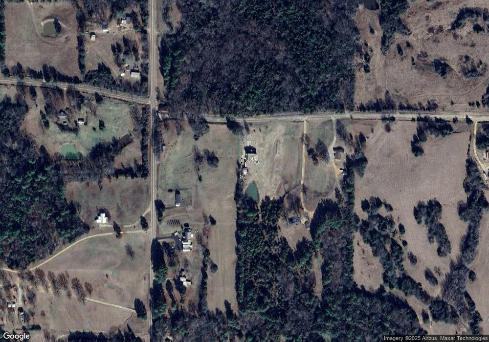
Map
Nearby Homes
- 0 Highway 305 Unit 161798
- 0 Highway 305 Unit 4078541
- 0 Highway 305 Unit 161799
- 130 Rowell Rd
- 100 Rowell Rd
- 160 Rowell Rd
- 0 Rowell Rd Unit 4089133
- 3 Old Memphis Oxford Rd
- 5150a Mississippi 305
- 5150 Mississippi 305
- 5900 Mississippi 305
- 756 Dancey Cove
- 0 C Williams Dr
- 951 Walker Rd
- 170 Farrow Place Dr
- 286 Caleb Ln
- 1939 Barr Rd
- 3876 Bett-Thyatira Rd
- 3876 Bett Thyatira Rd
- 276 Poagville Rd
- No Highway 305
- 4450 Highway 305
- 190 Bub Jamison Rd
- 5289 Highway Unit 305
- 226 Bub Jamison Rd
- 5335 Highway Unit 305
- 5365 S Hwy Unit 305
- 4352 Highway 305
- 4623 Highway 305
- 4437 Highway 305
- 10748 Peyton Rd
- 4663 Highway 305
- 5471 Highway Unit 305
- 4246 Highway 305
- 4749 Highway 305
- 4749 Highway 305 Unit 305
- 4749 Highway 305
- 4245 Highway 305
- 4210 Highway 305
- 4783 Highway 305
Your Personal Tour Guide
Ask me questions while you tour the home.