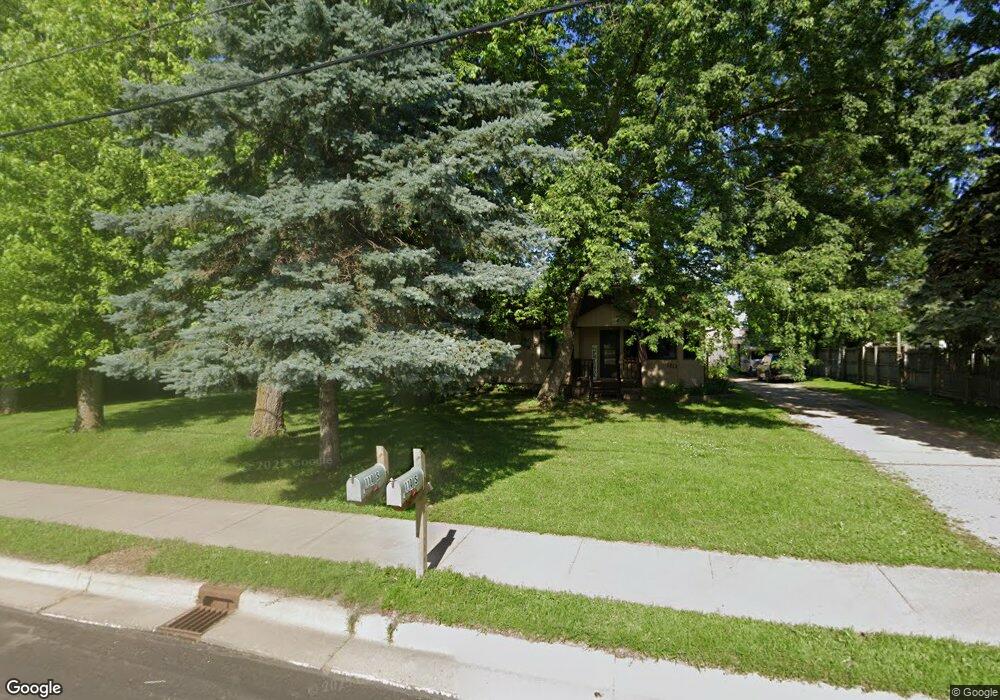
110 Buffalo Ave S Montrose, MN 55363
Estimated Value: $261,000 - $308,000
2
Beds
2
Baths
1,010
Sq Ft
$284/Sq Ft
Est. Value
About This Home
This home is located at 110 Buffalo Ave S, Montrose, MN 55363 and is currently estimated at $286,940, approximately $284 per square foot. 110 Buffalo Ave S is a home located in Wright County with nearby schools including Montrose Elementary School, Buffalo Community Middle School, and Buffalo Senior High School.
Ownership History
Date
Name
Owned For
Owner Type
Purchase Details
Closed on
Sep 30, 2022
Sold by
Hertell Nicole and Heins Wade
Bought by
Nordling Richard and Nordling Kathleen
Current Estimated Value
Home Financials for this Owner
Home Financials are based on the most recent Mortgage that was taken out on this home.
Original Mortgage
$50,000
Outstanding Balance
$47,791
Interest Rate
5.13%
Mortgage Type
New Conventional
Estimated Equity
$239,149
Purchase Details
Closed on
Mar 26, 2008
Sold by
Not Provided
Bought by
Hertell Nicole
Create a Home Valuation Report for This Property
The Home Valuation Report is an in-depth analysis detailing your home's value as well as a comparison with similar homes in the area
Home Values in the Area
Average Home Value in this Area
Purchase History
| Date | Buyer | Sale Price | Title Company |
|---|---|---|---|
| Nordling Richard | $250,000 | -- | |
| Hertell Nicole | $129,000 | -- |
Source: Public Records
Mortgage History
| Date | Status | Borrower | Loan Amount |
|---|---|---|---|
| Open | Nordling Richard | $50,000 |
Source: Public Records
Tax History Compared to Growth
Tax History
| Year | Tax Paid | Tax Assessment Tax Assessment Total Assessment is a certain percentage of the fair market value that is determined by local assessors to be the total taxable value of land and additions on the property. | Land | Improvement |
|---|---|---|---|---|
| 2025 | $2,800 | $261,300 | $86,700 | $174,600 |
| 2024 | $2,692 | $236,100 | $62,800 | $173,300 |
| 2023 | $2,834 | $245,700 | $77,800 | $167,900 |
| 2022 | $2,480 | $237,400 | $80,600 | $156,800 |
| 2021 | $2,150 | $181,700 | $53,300 | $128,400 |
| 2020 | $2,140 | $156,700 | $39,000 | $117,700 |
| 2019 | $1,718 | $153,400 | $0 | $0 |
| 2018 | $1,514 | $106,300 | $0 | $0 |
| 2017 | $1,408 | $93,300 | $0 | $0 |
| 2016 | $1,324 | $0 | $0 | $0 |
| 2015 | $1,272 | $0 | $0 | $0 |
| 2014 | -- | $0 | $0 | $0 |
Source: Public Records
Map
Nearby Homes
- 137 Pheasant Ridge Dr
- 150 Pheasant Ridge Dr
- 301 Center Ave S
- 161 Mindy Ln Unit 9
- 149 Mindy Ln
- 426 Dillon Ave N
- 517 2nd St S
- 610 Emerson Ave N
- 305 Garfield Ave S
- 703 7th St N
- 726 7th St N
- 140 Garner Cir
- 684 Aspen Ln
- 683 Aspen Ln
- 151 Garner Cir
- 685 Aspen Ln
- 687 Aspen Ln
- 690 Aspen Ln
- 643 Fieldcrest Ave N
- 689 Aspen Ln
- 130 Buffalo Ave S
- 111 Buffalo Ave S
- 110 Buffalo Ave N
- 201 2nd St S
- 110 2nd St S
- 130 Buffalo Ave N
- 207 2nd St S
- 211 2nd St S
- 210 Buffalo Ave S
- 150 Buffalo Ave N
- 220 Buffalo Ave S
- 211 Buffalo Ave S
- 231 2nd St S
- 241 2nd St S
- 230 Buffalo Ave S
- 220 2nd St S
- 170 Buffalo Ave N
- 0 Unassigned Address
- 229 Buffalo Ave S
- 250 1st St N