110 Calstock Ct NW Huntsville, AL 35810
Meadow Hills NeighborhoodEstimated Value: $245,020 - $381,000
--
Bed
--
Bath
1,576
Sq Ft
$191/Sq Ft
Est. Value
About This Home
This home is located at 110 Calstock Ct NW, Huntsville, AL 35810 and is currently estimated at $300,755, approximately $190 per square foot. 110 Calstock Ct NW is a home with nearby schools including Lynn Fanning Elementary School, Meridianville Middle School, and Hazel Green High School.
Ownership History
Date
Name
Owned For
Owner Type
Purchase Details
Closed on
Oct 29, 2007
Sold by
Brothers Billy D and Brothers Regina J
Bought by
Bolden John H
Current Estimated Value
Home Financials for this Owner
Home Financials are based on the most recent Mortgage that was taken out on this home.
Original Mortgage
$151,500
Outstanding Balance
$94,434
Interest Rate
6.27%
Mortgage Type
New Conventional
Estimated Equity
$206,321
Purchase Details
Closed on
Jul 28, 2005
Sold by
Reno Rhonda M
Bought by
Brothers Billy D and Brothers Regina Joyce
Home Financials for this Owner
Home Financials are based on the most recent Mortgage that was taken out on this home.
Original Mortgage
$90,400
Interest Rate
5.59%
Mortgage Type
New Conventional
Create a Home Valuation Report for This Property
The Home Valuation Report is an in-depth analysis detailing your home's value as well as a comparison with similar homes in the area
Home Values in the Area
Average Home Value in this Area
Purchase History
| Date | Buyer | Sale Price | Title Company |
|---|---|---|---|
| Bolden John H | -- | -- | |
| Brothers Billy D | $23,000 | None Available |
Source: Public Records
Mortgage History
| Date | Status | Borrower | Loan Amount |
|---|---|---|---|
| Open | Bolden John H | $151,500 | |
| Previous Owner | Brothers Billy D | $90,400 |
Source: Public Records
Tax History Compared to Growth
Tax History
| Year | Tax Paid | Tax Assessment Tax Assessment Total Assessment is a certain percentage of the fair market value that is determined by local assessors to be the total taxable value of land and additions on the property. | Land | Improvement |
|---|---|---|---|---|
| 2025 | $694 | $20,440 | $1,440 | $19,000 |
| 2024 | $694 | $19,760 | $1,440 | $18,320 |
| 2023 | $669 | $18,920 | $1,440 | $17,480 |
| 2022 | $567 | $16,960 | $1,440 | $15,520 |
| 2021 | $530 | $15,960 | $1,440 | $14,520 |
| 2020 | $472 | $14,340 | $1,430 | $12,910 |
| 2019 | $454 | $13,840 | $1,430 | $12,410 |
| 2018 | $427 | $13,140 | $0 | $0 |
| 2017 | $427 | $13,140 | $0 | $0 |
| 2016 | $427 | $13,140 | $0 | $0 |
| 2015 | $427 | $13,140 | $0 | $0 |
| 2014 | $427 | $13,120 | $0 | $0 |
Source: Public Records
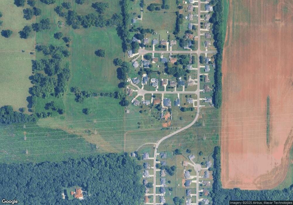
Map
Nearby Homes
- 117 Derwent Ln NW
- 215 Clark Mountain Rd
- 14 Acres Apache Rd NW
- 2106 Apache Rd NW
- 11019 Mount Charron Rd NW
- 10116 Memorial Pkwy NW
- 10104 N Memorial Pkwy
- 11017 Mount Charron Rd NW
- 2102 Southline Dr NW
- 36 Highway 231 431 N
- 112 Jacque Jim Dr NE
- 129 Jacque Jim Dr NE
- 191 Jacque-Jim Dr
- 167 Jacque-Jim Dr
- 183 Jacque-Jim Dr
- 175 Jacque-Jim Dr
- 338 Ruby Elm Ave NE
- 335 Ruby Elm Ave NE
- 339 Ruby Elm Ave NE
- 134 Twilight Ln
- 108 Calstock Ct NW
- 112 Calstock Ct NW
- 114 Calstock Ct NW
- 106 Calstock Ct NW
- 111 Calstock Ct NW
- 109 Calstock Ct NW
- 113 Calstock Ct NW
- 104 Calstock Ct NW
- 105 Calstock Ct NW
- 208 Parrett Ct NW
- 210 Parrett Ct NW
- 204 Parrett Ct NW
- 206 Parrett Ct NW
- 136 Derwent Ln NW
- 101 Calstock Ct NW
- 202 Parrett Ct NW
- 212 Parrett Ct NW
- 144 Derwent Ln NW
- 130 Derwent Ln NW
- 128 Derwent Ln NW