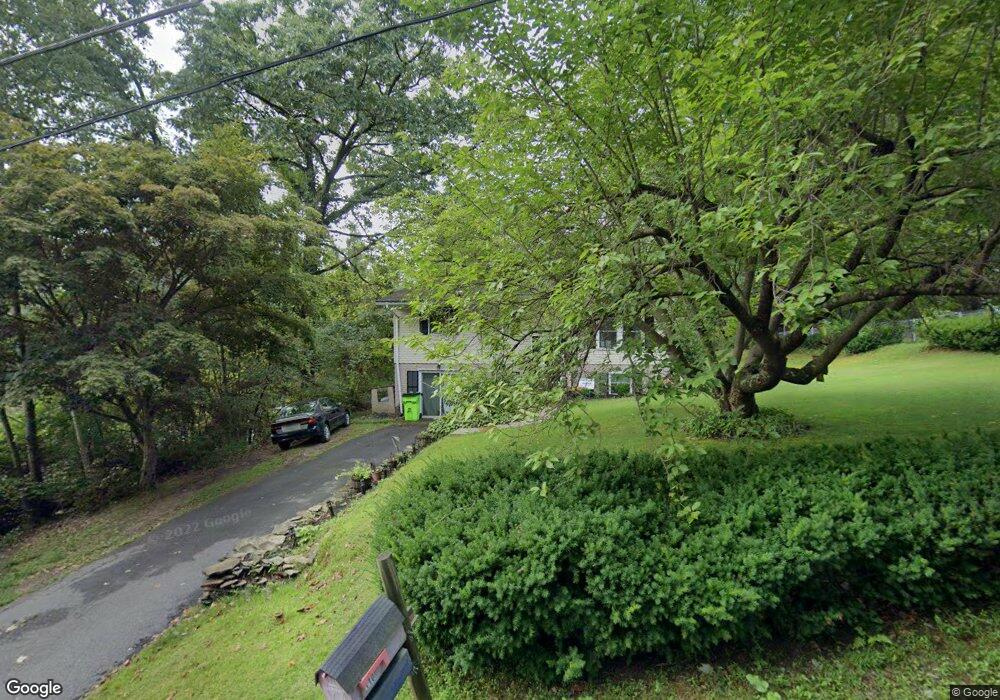
110 Circle Dr Harding, PA 18643
Estimated Value: $236,101 - $324,000
Studio
--
Bath
1,976
Sq Ft
$141/Sq Ft
Est. Value
About This Home
This home is located at 110 Circle Dr, Harding, PA 18643 and is currently estimated at $278,775, approximately $141 per square foot. 110 Circle Dr is a home located in Luzerne County with nearby schools including Wyoming Area Secondary Center.
Ownership History
Date
Name
Owned For
Owner Type
Purchase Details
Closed on
Jul 10, 2009
Sold by
Michelson Harvey and Michelson Karen L
Bought by
Byers Mason S and Byers Jessica L
Current Estimated Value
Home Financials for this Owner
Home Financials are based on the most recent Mortgage that was taken out on this home.
Original Mortgage
$129,500
Outstanding Balance
$84,520
Interest Rate
5.31%
Mortgage Type
Unknown
Estimated Equity
$194,255
Create a Home Valuation Report for This Property
The Home Valuation Report is an in-depth analysis detailing your home's value as well as a comparison with similar homes in the area
Home Values in the Area
Average Home Value in this Area
Purchase History
| Date | Buyer | Sale Price | Title Company |
|---|---|---|---|
| Byers Mason S | $127,000 | None Available |
Source: Public Records
Mortgage History
| Date | Status | Borrower | Loan Amount |
|---|---|---|---|
| Open | Byers Mason S | $129,500 |
Source: Public Records
Tax History
| Year | Tax Paid | Tax Assessment Tax Assessment Total Assessment is a certain percentage of the fair market value that is determined by local assessors to be the total taxable value of land and additions on the property. | Land | Improvement |
|---|---|---|---|---|
| 2025 | $4,196 | $144,600 | $22,500 | $122,100 |
| 2024 | $4,010 | $144,600 | $22,500 | $122,100 |
| 2023 | $3,742 | $144,600 | $22,500 | $122,100 |
| 2022 | $3,715 | $144,600 | $22,500 | $122,100 |
| 2021 | $3,663 | $144,600 | $22,500 | $122,100 |
| 2020 | $3,577 | $144,600 | $22,500 | $122,100 |
| 2019 | $3,475 | $144,600 | $22,500 | $122,100 |
| 2018 | $3,358 | $144,600 | $22,500 | $122,100 |
| 2017 | $3,282 | $144,600 | $22,500 | $122,100 |
| 2016 | -- | $144,600 | $22,500 | $122,100 |
| 2015 | -- | $144,600 | $22,500 | $122,100 |
| 2014 | -- | $144,600 | $22,500 | $122,100 |
Source: Public Records
Map
Nearby Homes
- 314 Terrace Ave
- 3061 Main St
- 2352 Newton Ransom Blvd
- 3501 Sullivans Trail
- 0 Lockville Rd Church Rd Unit 25-1114
- 3018 Main St
- 1 Bodle & Sutton Creek Roads
- 47 Bodle Rd
- 2752 Evergreen Dr
- 675 Apple Tree Rd
- 750 Slocum Ave
- 2694 Ransom Rd
- 2607 Ransom Rd
- 446 Orange Rd
- 1212 Keelersburg Rd
- 642 Bodle Rd
- 0 Spring & Red Oak Dr Unit GSBSC1753
- 10 Bald Mt Rd
- 22 Creamery Rd
- 193 Meadow Dr
- 114 Circle Dr
- 106 Circle Dr
- 28 Circle Dr
- 118 Circle Dr
- 113 Circle Dr
- 104 Circle Dr
- 107 Circle Dr
- 105 Circle Dr
- 142 Theodore St
- 136 Theodore St
- 151 Crest St
- 154 Paper Rd & Mitchell Ave
- 130 Theodore St
- 135 Theodore St
- 147 Crest St
- 128 Theodore St
- 134 Circle Dr
- 131 Theodore St
- 142 Crest St
- 341 Terrace Ave
Your Personal Tour Guide
Ask me questions while you tour the home.