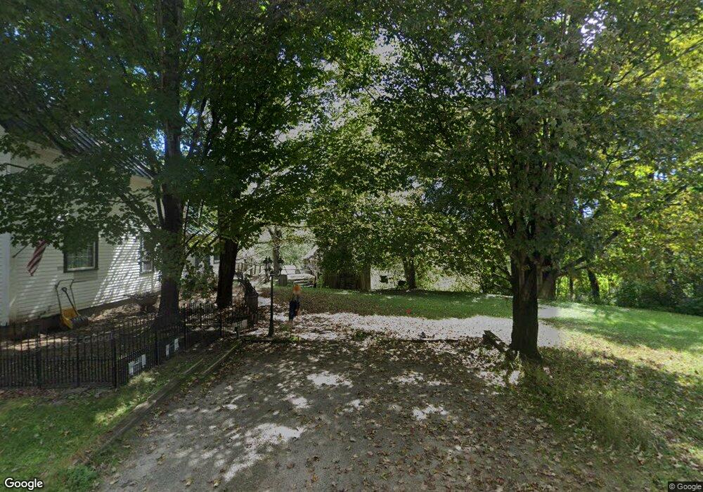
110 Davis Rd Grafton, NH 03240
Estimated Value: $283,000 - $390,000
3
Beds
1
Bath
1,690
Sq Ft
$200/Sq Ft
Est. Value
About This Home
This home is located at 110 Davis Rd, Grafton, NH 03240 and is currently estimated at $337,393, approximately $199 per square foot. 110 Davis Rd is a home with nearby schools including Canaan Elementary School, Indian River School, and Mascoma Valley Regional High School.
Ownership History
Date
Name
Owned For
Owner Type
Purchase Details
Closed on
Nov 18, 2003
Sold by
Thayer Richard B
Bought by
Leahy Michael L
Current Estimated Value
Home Financials for this Owner
Home Financials are based on the most recent Mortgage that was taken out on this home.
Original Mortgage
$137,750
Outstanding Balance
$63,017
Interest Rate
5.81%
Estimated Equity
$274,376
Create a Home Valuation Report for This Property
The Home Valuation Report is an in-depth analysis detailing your home's value as well as a comparison with similar homes in the area
Home Values in the Area
Average Home Value in this Area
Purchase History
| Date | Buyer | Sale Price | Title Company |
|---|---|---|---|
| Leahy Michael L | $145,000 | -- |
Source: Public Records
Mortgage History
| Date | Status | Borrower | Loan Amount |
|---|---|---|---|
| Open | Leahy Michael L | $19,000 | |
| Open | Leahy Michael L | $137,750 |
Source: Public Records
Tax History Compared to Growth
Tax History
| Year | Tax Paid | Tax Assessment Tax Assessment Total Assessment is a certain percentage of the fair market value that is determined by local assessors to be the total taxable value of land and additions on the property. | Land | Improvement |
|---|---|---|---|---|
| 2024 | $4,486 | $146,600 | $61,100 | $85,500 |
| 2023 | $4,002 | $146,600 | $61,100 | $85,500 |
| 2022 | $3,885 | $146,600 | $61,100 | $85,500 |
| 2021 | $3,794 | $146,600 | $61,100 | $85,500 |
| 2020 | $3,678 | $137,000 | $61,100 | $75,900 |
| 2019 | $3,301 | $103,900 | $33,600 | $70,300 |
| 2018 | $2,951 | $102,500 | $33,600 | $68,900 |
| 2017 | $2,869 | $102,500 | $33,600 | $68,900 |
| 2016 | $2,679 | $102,500 | $33,600 | $68,900 |
| 2015 | $2,785 | $102,500 | $33,600 | $68,900 |
| 2014 | $3,006 | $131,900 | $41,000 | $90,900 |
| 2013 | $2,749 | $131,900 | $41,000 | $90,900 |
Source: Public Records
Map
Nearby Homes
- 232 Kilton Pond Rd
- 165 Bullocks Crossing Rd
- 1164 Main St
- 21 Northwood Estates
- 0 Tunnel Rd Unit 727 5024585
- 44 Williams Hill Rd
- 00 Riddle Hill Rd
- 150 Kinsman Hwy
- 11 Turnpike Rd
- 0 Oak Hill Rd Unit 1B
- Lot 1 Nh Route 4a
- Lot 2 Nh Route 4a
- Lot 4 Nh Route 4a
- 1145 Us Route 4
- 47 Nh Route 118
- 0 Grafton Pond Rd Unit 64-1
- 00 Orange Rd Unit 16
- 0 US Route 4 Unit 34 5038886
- 0 US Route 4 Unit 94
- 35 Canaan St
- 105 Davis Rd
- 105 Kilton Rd
- 103 Davis Rd
- 0 Kilton Pond Rd
- 0 Kilton Pond Rd Unit 4981872
- 0 Kilton Pond Rd Unit 4000877
- 0 Kilton Pond Rd Unit 4003024
- 0 Kilton Pond Rd Unit 192 4869454
- 0 Kilton Pond Rd Unit 4000853
- 0 Kilton Pond Rd Unit 4808787
- 0 Kilton Pond Rd Unit 4442809
- 0 Kilton Pond Rd Unit 4346561
- 0 Kilton Pond Rd Unit 4317956
- 0 Kilton Pond Rd Unit 2721839
- 0 Kilton Pond Rd Unit 2728506
- 86 Kilton Rd
- 970 Main St
- 215 Tucker Rd
- 983 Main St
- 949 Main St