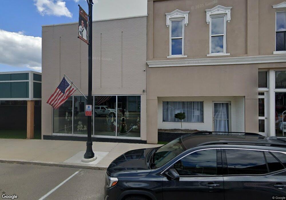
110 E Jackson St West Unity, OH 43570
Estimated Value: $41,452
Studio
1
Bath
1,024
Sq Ft
$40/Sq Ft
Est. Value
About This Home
This home is located at 110 E Jackson St, West Unity, OH 43570 and is currently estimated at $41,452, approximately $40 per square foot. 110 E Jackson St is a home located in Williams County with nearby schools including Hilltop Elementary School and Hilltop High School.
Ownership History
Date
Name
Owned For
Owner Type
Purchase Details
Closed on
Jun 30, 2020
Sold by
Attard Real Estate Holding Inc
Bought by
Jason & Carrie Properties Llc
Current Estimated Value
Purchase Details
Closed on
Mar 31, 2011
Sold by
1498525 Ontario Inc
Bought by
Attard Real Estate Holding Inc and Bokrossy Real Estate Holdng Inc
Purchase Details
Closed on
Dec 14, 2007
Sold by
Taylor Richard L and Taylor Julie A
Bought by
1498524 Ontario Inc
Purchase Details
Closed on
Dec 12, 2007
Sold by
Johnson Richard H and Johnson Sandra L
Bought by
Taylor Richard L and Taylor Julie A
Purchase Details
Closed on
Dec 30, 2003
Sold by
Johnson Richard H
Bought by
Taylor Johnson C and Taylor Richard O
Purchase Details
Closed on
Mar 31, 1986
Bought by
Johnson Richard H
Create a Home Valuation Report for This Property
The Home Valuation Report is an in-depth analysis detailing your home's value as well as a comparison with similar homes in the area
Purchase History
| Date | Buyer | Sale Price | Title Company |
|---|---|---|---|
| Jason & Carrie Properties Llc | $27,500 | Merestone Title Agency | |
| Attard Real Estate Holding Inc | -- | None Available | |
| 1498524 Ontario Inc | $27,500 | None Available | |
| Taylor Richard L | $35,000 | None Available | |
| Taylor Johnson C | $35,000 | -- | |
| Johnson Richard H | $18,000 | -- |
Source: Public Records
Tax History
| Year | Tax Paid | Tax Assessment Tax Assessment Total Assessment is a certain percentage of the fair market value that is determined by local assessors to be the total taxable value of land and additions on the property. | Land | Improvement |
|---|---|---|---|---|
| 2025 | $814 | $14,490 | $2,240 | $12,250 |
| 2024 | $814 | $12,990 | $2,240 | $10,750 |
| 2023 | $741 | $9,870 | $2,030 | $7,840 |
| 2022 | $619 | $7,560 | $2,030 | $5,530 |
| 2021 | $495 | $7,560 | $2,030 | $5,530 |
| 2020 | $496 | $7,560 | $2,030 | $5,530 |
| 2019 | $492 | $7,560 | $2,030 | $5,530 |
| 2018 | $488 | $7,560 | $2,030 | $5,530 |
| 2017 | $504 | $7,670 | $2,030 | $5,640 |
| 2016 | $481 | $7,670 | $2,030 | $5,640 |
| 2015 | $500 | $7,670 | $2,030 | $5,640 |
| 2014 | $500 | $7,670 | $2,030 | $5,640 |
| 2013 | $490 | $7,670 | $2,030 | $5,640 |
Source: Public Records
Map
Nearby Homes
- 000 W Jackson
- 106 W Catherine St
- 309 S Defiance St
- 902 E Church St
- 22227 Us Highway 20a
- 16806 US Highway 20a
- 20095 County Road H50
- 14640 U S 20a
- 301 Horton St
- 3514 Gaslight Dr
- 200 Tyler Ln
- 0 St Rt 15 Unit 10001011
- 0 US Highway 20a
- 23161 County Road Jk
- 16299 County Road F75
- 7100 County Road 15-50
- 552 Quail Run
- 301 N Pointe Dr
- 17738 County Rd E
- 328 W Lutz Rd Unit 328
- 117 E Jackson St
- 103 E Jackson St
- 101 E Jackson St
- 105 E Jackson St
- 113 E Jackson St
- 115 E Jackson St
- 103 W Jackson St
- 119 E Jackson St
- 0 W Jackson St Unit 5017847
- 0 W Jackson St Unit 5091579
- 0 W Jackson St Unit 4618552
- 104 N Main St
- 0 S Main St Unit 5095793
- 0 S Main St Unit 4571177
- 109 S Main St
- 106 W Jackson St
- 105 N Main St
- 108 W Jackson St
- 111 W Jackson St
- 104 E North St
Your Personal Tour Guide
Ask me questions while you tour the home.