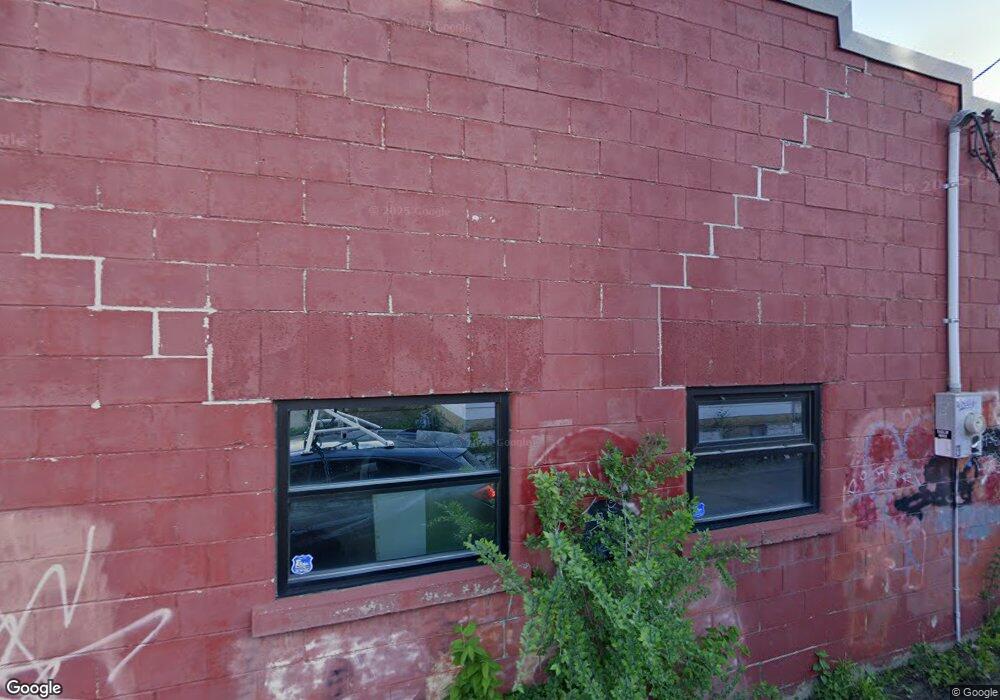
110 E Spring St Mankato, MN 56001
Riverfront Park NeighborhoodEstimated Value: $193,789
--
Bed
--
Bath
3,850
Sq Ft
$50/Sq Ft
Est. Value
About This Home
This home is located at 110 E Spring St, Mankato, MN 56001 and is currently estimated at $193,789, approximately $50 per square foot. 110 E Spring St is a home located in Blue Earth County with nearby schools including Franklin Elementary School, Prairie Winds Middle School, and Mankato East Senior High School.
Ownership History
Date
Name
Owned For
Owner Type
Purchase Details
Closed on
May 16, 2024
Sold by
Riverfront Bldg Llc
Bought by
3Rd Avenue Holdings Llc
Current Estimated Value
Purchase Details
Closed on
Jan 31, 2017
Sold by
Growth Holding Llc
Bought by
Riverfront Bidg Llc
Purchase Details
Closed on
Aug 29, 2016
Sold by
Pollei Steven Steven
Purchase Details
Closed on
Mar 9, 2012
Sold by
Pollei Roger and Pollei Carol
Bought by
Pollei Roger and Pollei Carol
Create a Home Valuation Report for This Property
The Home Valuation Report is an in-depth analysis detailing your home's value as well as a comparison with similar homes in the area
Home Values in the Area
Average Home Value in this Area
Purchase History
| Date | Buyer | Sale Price | Title Company |
|---|---|---|---|
| 3Rd Avenue Holdings Llc | $305,000 | -- | |
| Riverfront Bidg Llc | $120,000 | -- | |
| -- | $60,000 | -- | |
| Pollei Roger | -- | None Available |
Source: Public Records
Tax History Compared to Growth
Tax History
| Year | Tax Paid | Tax Assessment Tax Assessment Total Assessment is a certain percentage of the fair market value that is determined by local assessors to be the total taxable value of land and additions on the property. | Land | Improvement |
|---|---|---|---|---|
| 2025 | $4,522 | $200,600 | $14,700 | $185,900 |
| 2024 | $4,522 | $222,800 | $14,700 | $208,100 |
| 2023 | $5,624 | $222,800 | $14,700 | $208,100 |
| 2022 | $4,696 | $194,200 | $14,700 | $179,500 |
| 2021 | $4,432 | $149,200 | $14,700 | $134,500 |
| 2020 | $4,506 | $140,800 | $14,700 | $126,100 |
| 2019 | $4,612 | $140,800 | $14,700 | $126,100 |
| 2018 | $1,774 | $140,800 | $14,700 | $126,100 |
| 2017 | $2,300 | $95,800 | $14,700 | $81,100 |
| 2016 | $3,576 | $92,800 | $14,700 | $78,100 |
| 2015 | $34 | $92,800 | $14,700 | $78,100 |
| 2014 | $3,454 | $85,000 | $14,700 | $70,300 |
Source: Public Records
Map
Nearby Homes
- 217 E Spring St
- E E Spring St
- 411 N Broad St
- 619 N 4th St
- 622 N 5th St
- E E Vine St
- 326 E Vine St
- 322 E Vine St
- 817 N 4th St
- 913 N 4th St
- 610 E Vine St
- 0 Outlot A Block 1 Unit 7031909
- 202 Crocus Place
- 532 Range St
- 0 Range St Unit 532 1/2
- 0 Thompson St
- 950 E Main St
- 512 Page Ave
- 1519 N 4th St
- 139 Homer St
- 116 E Spring St
- 507 N Riverfront Dr
- 501 N Riverfront Dr
- 505 N Riverfront Dr
- 118 E Spring St
- 113 E Spring St
- 113 E Spring St Unit 1
- 113 E Spring St Unit 3
- 113 E Spring St Unit 2
- 506 N 2nd St
- 121 E Spring St
- 508 N 2nd St
- 123 E Spring St
- 510 N 2nd St Unit 510 N 2nd St
- 510 N 2nd St
- 514 N 2nd St
- 430 N 2nd St
- 513 N Riverfront Dr Unit 4
- 513 N Riverfront Dr Unit 3
- 513 N Riverfront Dr Unit 2