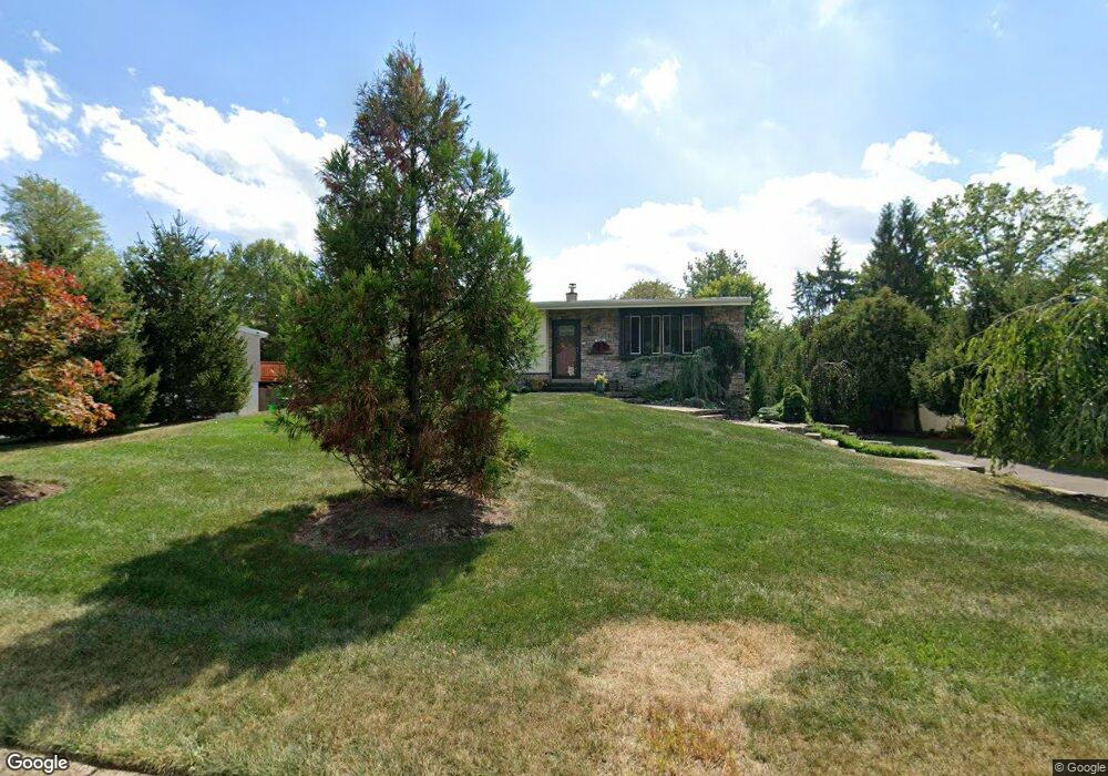
110 Hampshire Dr Chalfont, PA 18914
Estimated Value: $448,000 - $515,000
3
Beds
3
Baths
1,312
Sq Ft
$364/Sq Ft
Est. Value
About This Home
This home is located at 110 Hampshire Dr, Chalfont, PA 18914 and is currently estimated at $477,194, approximately $363 per square foot. 110 Hampshire Dr is a home located in Bucks County with nearby schools including Simon Butler Elementary, Unami Middle School, and Central Bucks High School - South.
Ownership History
Date
Name
Owned For
Owner Type
Purchase Details
Closed on
Feb 18, 1999
Sold by
Dehaven Donna M and Rogers Donna
Bought by
Dehaven Donna M
Current Estimated Value
Home Financials for this Owner
Home Financials are based on the most recent Mortgage that was taken out on this home.
Original Mortgage
$63,000
Interest Rate
6.42%
Purchase Details
Closed on
Nov 17, 1995
Sold by
Rogers Bruce Allen and Rogers Donna
Bought by
Rogers Donna
Create a Home Valuation Report for This Property
The Home Valuation Report is an in-depth analysis detailing your home's value as well as a comparison with similar homes in the area
Home Values in the Area
Average Home Value in this Area
Purchase History
| Date | Buyer | Sale Price | Title Company |
|---|---|---|---|
| Dehaven Donna M | -- | -- | |
| Rogers Donna | -- | -- |
Source: Public Records
Mortgage History
| Date | Status | Borrower | Loan Amount |
|---|---|---|---|
| Closed | Dehaven Donna M | $63,000 |
Source: Public Records
Tax History Compared to Growth
Tax History
| Year | Tax Paid | Tax Assessment Tax Assessment Total Assessment is a certain percentage of the fair market value that is determined by local assessors to be the total taxable value of land and additions on the property. | Land | Improvement |
|---|---|---|---|---|
| 2025 | $4,220 | $24,350 | $5,480 | $18,870 |
| 2024 | $4,220 | $24,350 | $5,480 | $18,870 |
| 2023 | $4,086 | $24,350 | $5,480 | $18,870 |
| 2022 | $4,005 | $24,350 | $5,480 | $18,870 |
| 2021 | $3,577 | $22,000 | $5,480 | $16,520 |
| 2020 | $3,577 | $22,000 | $5,480 | $16,520 |
| 2019 | $3,533 | $22,000 | $5,480 | $16,520 |
| 2018 | $3,533 | $22,000 | $5,480 | $16,520 |
| 2017 | $3,506 | $22,000 | $5,480 | $16,520 |
| 2016 | $3,506 | $22,000 | $5,480 | $16,520 |
| 2015 | -- | $22,000 | $5,480 | $16,520 |
| 2014 | -- | $22,000 | $5,480 | $16,520 |
Source: Public Records
Map
Nearby Homes
- 200 Cornwall Dr
- 0 S Limekiln Pike
- 136 Tartan Terrace
- 103 Bonnie Lark Ct
- 116 Tartan Terrace
- 129 Cambridge Place
- 10 Kerns Ave
- 14 Woodside Ave
- 40 E Butler Ave
- 214 Prince William Way
- 722 Upper State Rd
- 300 Brookside Ct
- The Brentwood Plan at Barclay Hill
- The Banbury Plan at Barclay Hill
- The Brookhaven Plan at Barclay Hill
- 326 Rocky Ct W Unit W
- 201 Coventry Rd
- 26 Park Ave Unit A16
- 514 Windsor Ct
- 202 Shepard Ln
- 112 Hampshire Dr
- 108 Hampshire Dr
- 107 Devon Rd
- 111 Hampshire Dr
- 106 Hampshire Dr
- 114 Hampshire Dr
- 105 Devon Rd
- 109 Hampshire Dr
- 109 Devon Rd
- 107 Hampshire Dr
- 100 New Jersey Ave
- 101 New Jersey Ave
- 103 Devon Rd
- 104 Hampshire Dr
- 116 Hampshire Dr
- 113 Hampshire Dr
- 105 Hampshire Dr
- 111 Devon Rd
- 102 Hampshire Dr
- 101 Devon Rd