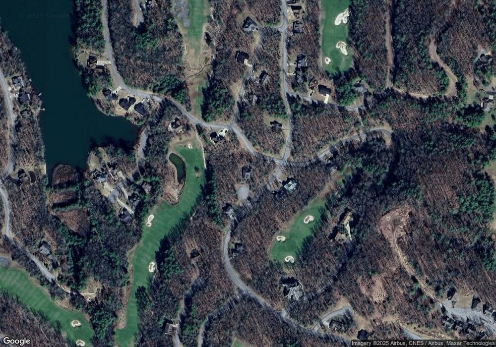
110 John Trail Daniels, WV 25832
Estimated Value: $381,306 - $548,000
3
Beds
3
Baths
2,121
Sq Ft
$213/Sq Ft
Est. Value
About This Home
This home is located at 110 John Trail, Daniels, WV 25832 and is currently estimated at $452,327, approximately $213 per square foot. 110 John Trail is a home located in Raleigh County with nearby schools including Shady Spring Elementary School, Shady Spring Middle School, and Shady Spring High School.
Ownership History
Date
Name
Owned For
Owner Type
Purchase Details
Closed on
Mar 6, 2014
Sold by
Francis Alvord Francis Alvord
Bought by
Shamma Brenda
Current Estimated Value
Purchase Details
Closed on
Jan 3, 2007
Sold by
Ballard Brooke E and Carter Donald R
Bought by
Miller Francis Alvord and Miller Janet F
Create a Home Valuation Report for This Property
The Home Valuation Report is an in-depth analysis detailing your home's value as well as a comparison with similar homes in the area
Home Values in the Area
Average Home Value in this Area
Purchase History
| Date | Buyer | Sale Price | Title Company |
|---|---|---|---|
| Shamma Brenda | $305,000 | -- | |
| Miller Francis Alvord | $315,000 | -- |
Source: Public Records
Tax History Compared to Growth
Tax History
| Year | Tax Paid | Tax Assessment Tax Assessment Total Assessment is a certain percentage of the fair market value that is determined by local assessors to be the total taxable value of land and additions on the property. | Land | Improvement |
|---|---|---|---|---|
| 2025 | $1,902 | $177,480 | $9,480 | $168,000 |
| 2024 | $1,710 | $162,300 | $9,480 | $152,820 |
| 2023 | $1,868 | $175,500 | $9,900 | $165,600 |
| 2022 | $1,868 | $175,500 | $9,900 | $165,600 |
| 2021 | $1,823 | $171,720 | $9,900 | $161,820 |
| 2020 | $1,834 | $171,720 | $9,900 | $161,820 |
| 2019 | $1,834 | $171,720 | $9,900 | $161,820 |
| 2018 | $1,834 | $171,720 | $9,900 | $161,820 |
| 2017 | $1,834 | $171,720 | $9,900 | $161,820 |
| 2016 | $1,863 | $171,720 | $9,900 | $161,820 |
| 2015 | $1,783 | $165,180 | $9,900 | $155,280 |
| 2014 | $1,649 | $154,320 | $20,520 | $133,800 |
Source: Public Records
Map
Nearby Homes
- 293 Edwards Dr
- 105 Robert Way
- 235 Richard Ln Unit 18
- 245 Richard Ln Unit 19
- 178 Phillip Place Unit 17
- 178 Phillip Place
- 145 Charles Ln Unit 21
- 125 Charles Ln Unit 23
- 117 Henry Place Unit 10
- 127 Henry Place
- 136 George Ln Unit 23
- 151 George Ln
- 111 Henry Place Unit 9
- 221 Arthur Ln Unit 13
- 123 Stephen Place Unit 14
- 251 Arthur Ln Unit 16
- 105 Harold Ln Unit 2
- 136 Harold Ln
- 135 Harold Ln Unit 5
- 154 Harold Ln Unit 11
- 311 Edward Dr
- 312 Edward Dr
- 351 Edward Dr
- 351 Edward Dr Unit Glade Springs Villag
- 277 Edward Dr
- 118 William Place Unit 11
- 118 William Place
- 134 Crimson Ridge Ln
- 272 Edward Dr
- 122 Phillip Place
- 128 William Place Unit 18
- 161 Henry Place
- 165 Richard Ln
- 102 Richard Ln
- 127 Robert Way
- 154 Robert Way
- 372 Edward Dr
- 159 Charles Ln
- 153 Charles Ln
- 123 Phillip Place Unit 1
