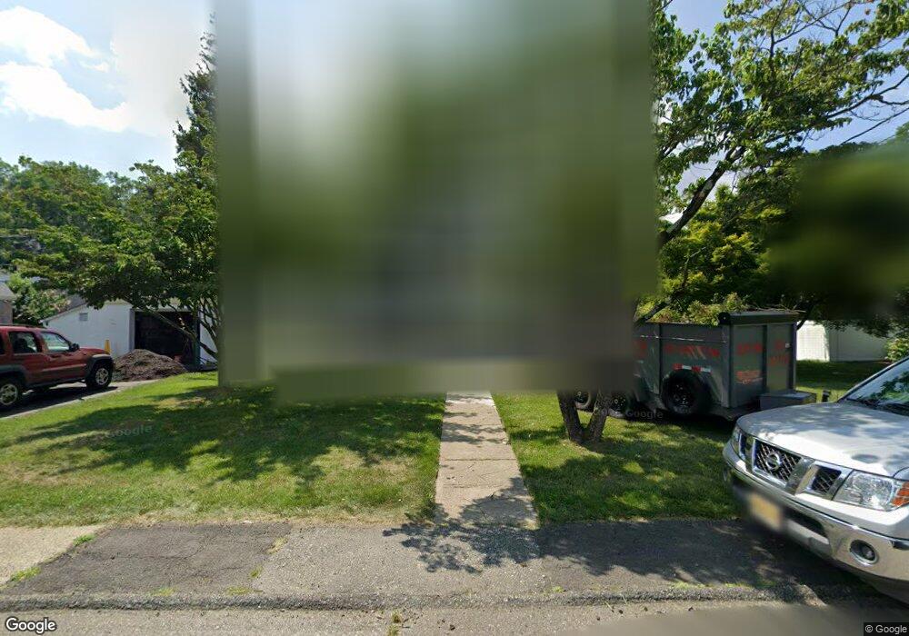
110 Johnson Ave Mahwah, NJ 07430
Estimated Value: $502,000 - $590,865
3
Beds
2
Baths
1,372
Sq Ft
$398/Sq Ft
Est. Value
About This Home
This home is located at 110 Johnson Ave, Mahwah, NJ 07430 and is currently estimated at $546,716, approximately $398 per square foot. 110 Johnson Ave is a home located in Bergen County with nearby schools including Mahwah High School.
Ownership History
Date
Name
Owned For
Owner Type
Purchase Details
Closed on
Oct 15, 2021
Sold by
Finnerty Geraldine and Estate Of Anna L Karez
Bought by
Antolino Jill
Current Estimated Value
Home Financials for this Owner
Home Financials are based on the most recent Mortgage that was taken out on this home.
Original Mortgage
$393,899
Outstanding Balance
$359,615
Interest Rate
2.88%
Mortgage Type
FHA
Estimated Equity
$187,101
Create a Home Valuation Report for This Property
The Home Valuation Report is an in-depth analysis detailing your home's value as well as a comparison with similar homes in the area
Home Values in the Area
Average Home Value in this Area
Purchase History
| Date | Buyer | Sale Price | Title Company |
|---|---|---|---|
| Antolino Jill | $407,500 | Elite Title Group Llc |
Source: Public Records
Mortgage History
| Date | Status | Borrower | Loan Amount |
|---|---|---|---|
| Open | Antolino Jill | $393,899 |
Source: Public Records
Tax History Compared to Growth
Tax History
| Year | Tax Paid | Tax Assessment Tax Assessment Total Assessment is a certain percentage of the fair market value that is determined by local assessors to be the total taxable value of land and additions on the property. | Land | Improvement |
|---|---|---|---|---|
| 2025 | $6,625 | $321,000 | $207,600 | $113,400 |
| 2024 | $6,539 | $321,000 | $207,600 | $113,400 |
| 2023 | $6,330 | $321,000 | $207,600 | $113,400 |
| 2022 | $6,330 | $321,000 | $207,600 | $113,400 |
| 2021 | $5,386 | $321,000 | $207,600 | $113,400 |
| 2020 | $6,112 | $321,000 | $207,600 | $113,400 |
| 2019 | $5,910 | $321,000 | $207,600 | $113,400 |
| 2018 | $5,826 | $321,000 | $207,600 | $113,400 |
| 2017 | $5,733 | $321,000 | $207,600 | $113,400 |
| 2016 | $5,608 | $321,000 | $207,600 | $113,400 |
| 2015 | $5,031 | $321,000 | $207,600 | $113,400 |
| 2014 | $4,938 | $321,000 | $207,600 | $113,400 |
Source: Public Records
Map
Nearby Homes
- 79 N Ramapo Ave
- 136 Catherine Ave
- 29 Rockland Terrace
- 47 Prairie Ave
- 24 Rockland Terrace
- 145 Catherine Ave
- 13 Jersey Ave
- 73 Lonergan Dr
- 172 Orange Ave
- 102 Washington Ave
- 19 Interstate St
- 3 Ruby St
- 23 Meadow Ave
- 46 Lonergan Dr
- 15 Hillside Ave
- 5 Interstate St
- 1052 Chedworth Cir
- 34 N Railroad Ave
- 17 W Maple Ave
- 1 Interstate St
- 114 Johnson Ave
- 116 Johnson Ave
- 20 Ramapo Valley Rd
- 105 Catherine Ave
- 91 N Ramapo Ave
- 109 Johnson Ave
- 107 Catherine Ave
- 111 Johnson Ave
- 118 Johnson Ave
- 113 Johnson Ave
- 89 N Ramapo Ave
- 109 Catherine Ave
- 120 Johnson Ave
- 111 Catherine Ave
- 87 N Ramapo Ave
- 117 Johnson Ave
- 2 Long Ave
- 1 Brook St
- 113 Catherine Ave
- 33 Meadow Ave