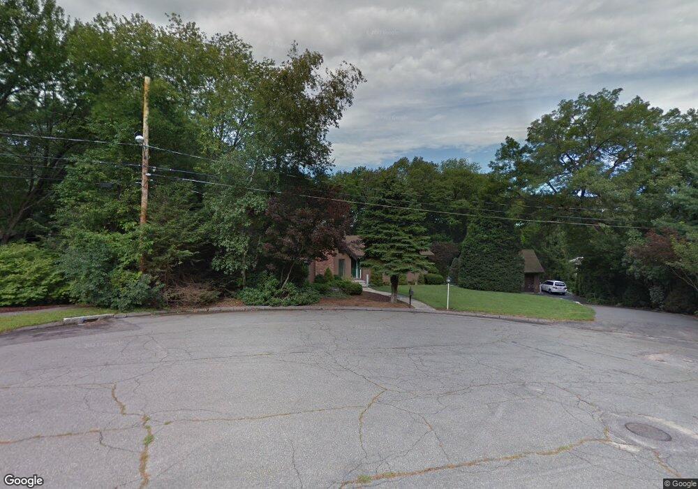
110 Leslie Rd Waltham, MA 02451
North Waltham NeighborhoodEstimated Value: $937,564 - $1,091,000
3
Beds
1
Bath
1,496
Sq Ft
$676/Sq Ft
Est. Value
About This Home
This home is located at 110 Leslie Rd, Waltham, MA 02451 and is currently estimated at $1,010,891, approximately $675 per square foot. 110 Leslie Rd is a home located in Middlesex County with nearby schools including Douglas Macarthur Elementary School, John F Kennedy Middle School, and Waltham Sr High School.
Ownership History
Date
Name
Owned For
Owner Type
Purchase Details
Closed on
Mar 25, 2024
Sold by
Elliott William R and Elliott Paula C
Bought by
Leslie Clinton Elliott Ll
Current Estimated Value
Purchase Details
Closed on
Dec 1, 1980
Bought by
Elliott William R and Elliott Paula C
Create a Home Valuation Report for This Property
The Home Valuation Report is an in-depth analysis detailing your home's value as well as a comparison with similar homes in the area
Home Values in the Area
Average Home Value in this Area
Purchase History
| Date | Buyer | Sale Price | Title Company |
|---|---|---|---|
| Leslie Clinton Elliott Ll | -- | None Available | |
| Leslie Clinton Elliott Ll | -- | None Available | |
| Elliott William R | $23,000 | -- |
Source: Public Records
Mortgage History
| Date | Status | Borrower | Loan Amount |
|---|---|---|---|
| Previous Owner | Elliott William R | $200,000 | |
| Previous Owner | Elliott William R | $100,000 |
Source: Public Records
Tax History Compared to Growth
Tax History
| Year | Tax Paid | Tax Assessment Tax Assessment Total Assessment is a certain percentage of the fair market value that is determined by local assessors to be the total taxable value of land and additions on the property. | Land | Improvement |
|---|---|---|---|---|
| 2025 | $9,270 | $944,000 | $530,900 | $413,100 |
| 2024 | $8,393 | $870,600 | $505,900 | $364,700 |
| 2023 | $8,189 | $793,500 | $460,900 | $332,600 |
| 2022 | $8,494 | $762,500 | $440,900 | $321,600 |
| 2021 | $8,491 | $750,100 | $440,900 | $309,200 |
| 2020 | $4,498 | $717,200 | $410,900 | $306,300 |
| 2019 | $8,178 | $646,000 | $406,900 | $239,100 |
| 2018 | $4,152 | $596,800 | $376,900 | $219,900 |
| 2017 | $4,035 | $555,800 | $335,900 | $219,900 |
| 2016 | $6,191 | $505,800 | $285,900 | $219,900 |
| 2015 | $6,576 | $500,800 | $285,900 | $214,900 |
Source: Public Records
Map
Nearby Homes
- 100 Leslie Rd
- 55 Woodchester Rd
- 60 Woodchester Rd
- 105 Leslie Rd
- 90 Leslie Rd
- 45 Woodchester Rd
- 31 Woodchester Cir
- 7 Woodchester Cir
- 15 Woodchester Cir
- 91 Leslie Rd
- 91 Leslie Rd
- 97 Leslie Rd
- 80 Leslie Rd
- 95 Leslie Rd
- 35 Woodchester Rd
- 36 Woodchester Cir
- 1776 Trapelo Rd
- 70 Leslie Rd
- 8 Woodchester Cir
- 30 Woodchester Cir