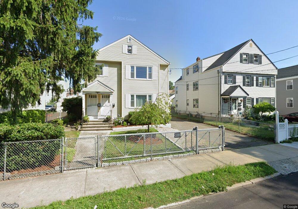
110 Lincoln Ave Unit 112 Bridgeport, CT 06606
Brooklawn-Saint Vincent NeighborhoodEstimated Value: $542,303 - $611,000
5
Beds
4
Baths
2,518
Sq Ft
$231/Sq Ft
Est. Value
About This Home
This home is located at 110 Lincoln Ave Unit 112, Bridgeport, CT 06606 and is currently estimated at $581,076, approximately $230 per square foot. 110 Lincoln Ave Unit 112 is a home located in Fairfield County with nearby schools including Madison School, Central High School, and Catholic Academy of Bridgeport-St. Raphael Academy.
Ownership History
Date
Name
Owned For
Owner Type
Purchase Details
Closed on
Sep 24, 1987
Sold by
Batista Jose
Bought by
Paiva Carlos
Current Estimated Value
Create a Home Valuation Report for This Property
The Home Valuation Report is an in-depth analysis detailing your home's value as well as a comparison with similar homes in the area
Home Values in the Area
Average Home Value in this Area
Purchase History
| Date | Buyer | Sale Price | Title Company |
|---|---|---|---|
| Paiva Carlos | $229,000 | -- |
Source: Public Records
Mortgage History
| Date | Status | Borrower | Loan Amount |
|---|---|---|---|
| Open | Paiva Carlos | $66,500 | |
| Closed | Paiva Carlos | $145,000 | |
| Closed | Paiva Carlos | $108,000 | |
| Closed | Paiva Carlos | $120,400 |
Source: Public Records
Tax History Compared to Growth
Tax History
| Year | Tax Paid | Tax Assessment Tax Assessment Total Assessment is a certain percentage of the fair market value that is determined by local assessors to be the total taxable value of land and additions on the property. | Land | Improvement |
|---|---|---|---|---|
| 2025 | $9,433 | $217,110 | $77,600 | $139,510 |
| 2024 | $9,433 | $217,110 | $77,600 | $139,510 |
| 2023 | $9,433 | $217,110 | $77,600 | $139,510 |
| 2022 | $9,433 | $217,110 | $77,600 | $139,510 |
| 2021 | $9,433 | $217,110 | $77,600 | $139,510 |
| 2020 | $8,735 | $161,780 | $43,770 | $118,010 |
| 2019 | $8,735 | $161,780 | $43,770 | $118,010 |
| 2018 | $8,796 | $161,780 | $43,770 | $118,010 |
| 2017 | $8,796 | $161,780 | $43,770 | $118,010 |
| 2016 | $8,796 | $161,780 | $43,770 | $118,010 |
| 2015 | $8,933 | $211,690 | $52,980 | $158,710 |
| 2014 | $8,933 | $211,690 | $52,980 | $158,710 |
Source: Public Records
Map
Nearby Homes
- 724 Capitol Ave Unit 726
- 119 Madison Terrace
- 2395 Main St Unit 2397
- 390 Charles St Unit 106
- 330 French St
- 508 Hawley Ave
- 25 Manhattan Ave Unit 27
- 106 Manhattan Ave Unit 108
- 76 Porter St
- 123 Harlem Ave
- 90 Tom Thumb St
- 31 Taft Ave
- 203 Wayne St
- 78 Fairmount Ave
- 936 Lindley St
- 252 Harlem Ave Unit B6
- 252 Harlem Ave Unit B5
- 241 Sampson St
- 201 High Ridge Dr
- 105 Tremont Ave Unit E
- 120 Lincoln Ave Unit 122
- 100 Lincoln Ave Unit 102
- 92 Lincoln Ave
- 109 Lincoln Ave Unit 111
- 130 Lincoln Ave Unit 132
- 130 Lincoln Ave Unit 2
- 95 Lincoln Ave Unit 97
- 82 Lincoln Ave Unit 2C
- 82 Lincoln Ave Unit 2B
- 82 Lincoln Ave Unit 2A
- 82 Lincoln Ave Unit 1C
- 82 Lincoln Ave Unit 1B
- 82 Lincoln Ave Unit 1A
- 82 Lincoln Ave Unit BB
- 82 Lincoln Ave Unit BA
- 82 Lincoln Ave Unit 2C
- 140-142 Lincoln Ave Unit 3
- 140 Lincoln Ave Unit 142
- 140 Lincoln Ave Unit 1
- 295 Salem St