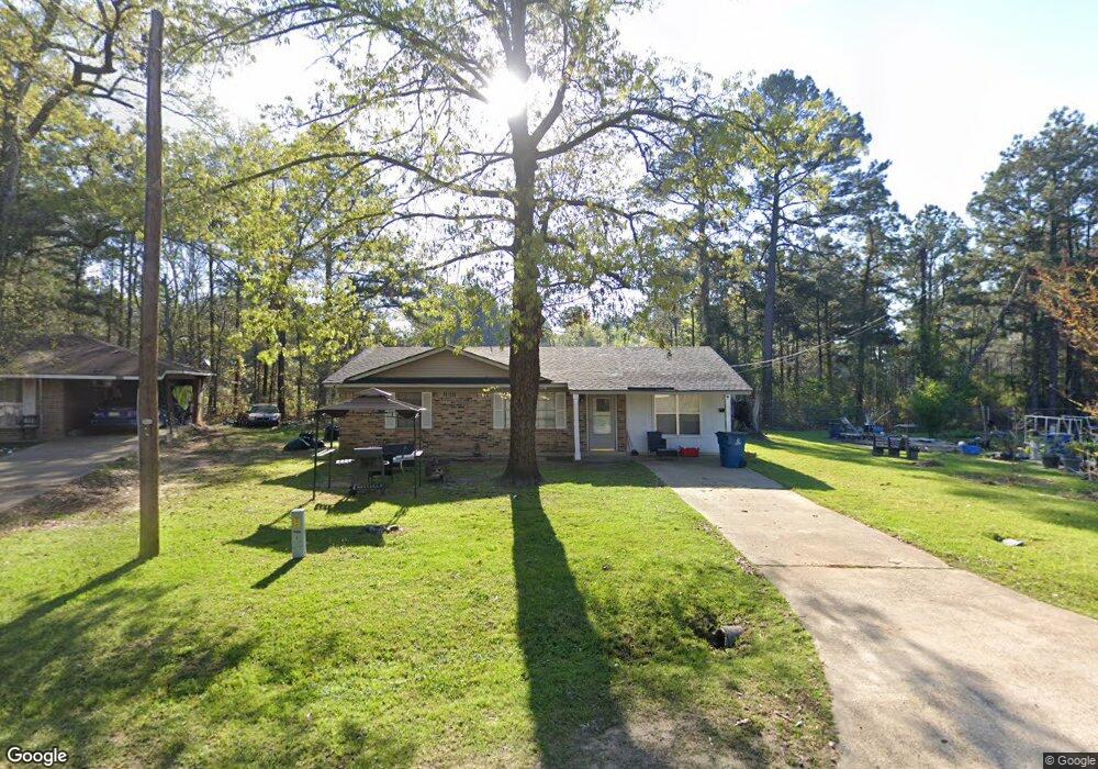
110 Mcarthur Dr Vivian, LA 71082
Estimated Value: $87,000 - $126,000
3
Beds
2
Baths
1,314
Sq Ft
$77/Sq Ft
Est. Value
About This Home
This home is located at 110 Mcarthur Dr, Vivian, LA 71082 and is currently estimated at $101,308, approximately $77 per square foot. 110 Mcarthur Dr is a home located in Caddo Parish with nearby schools including Judson Fundamental Elementary School, Fairfield Magnet School, and Herndon Magnet School.
Ownership History
Date
Name
Owned For
Owner Type
Purchase Details
Closed on
Apr 12, 2017
Sold by
Green Rodney J and Green Sharon Louise
Bought by
Thomas Tarland Tremell
Current Estimated Value
Home Financials for this Owner
Home Financials are based on the most recent Mortgage that was taken out on this home.
Original Mortgage
$70,054
Outstanding Balance
$58,402
Interest Rate
4.62%
Mortgage Type
FHA
Estimated Equity
$42,906
Purchase Details
Closed on
Mar 14, 2007
Sold by
Taylor Mayor Stephen G
Bought by
Green Rodney James and Green Sharon Thomas
Create a Home Valuation Report for This Property
The Home Valuation Report is an in-depth analysis detailing your home's value as well as a comparison with similar homes in the area
Home Values in the Area
Average Home Value in this Area
Purchase History
| Date | Buyer | Sale Price | Title Company |
|---|---|---|---|
| Thomas Tarland Tremell | $81,000 | None Available | |
| Green Rodney James | $300 | None Available |
Source: Public Records
Mortgage History
| Date | Status | Borrower | Loan Amount |
|---|---|---|---|
| Open | Thomas Tarland Tremell | $70,054 |
Source: Public Records
Tax History
| Year | Tax Paid | Tax Assessment Tax Assessment Total Assessment is a certain percentage of the fair market value that is determined by local assessors to be the total taxable value of land and additions on the property. | Land | Improvement |
|---|---|---|---|---|
| 2025 | $814 | $4,315 | $736 | $3,579 |
| 2024 | $811 | $4,315 | $736 | $3,579 |
| 2023 | $820 | $4,280 | $701 | $3,579 |
| 2022 | $820 | $4,280 | $701 | $3,579 |
| 2021 | $820 | $4,280 | $701 | $3,579 |
| 2020 | $816 | $4,280 | $701 | $3,579 |
| 2019 | $797 | $4,218 | $701 | $3,517 |
| 2018 | $706 | $4,218 | $701 | $3,517 |
| 2017 | $795 | $4,218 | $701 | $3,517 |
| 2015 | $75 | $4,130 | $700 | $3,430 |
| 2014 | $75 | $4,130 | $700 | $3,430 |
| 2013 | -- | $4,130 | $700 | $3,430 |
Source: Public Records
Map
Nearby Homes
- 62011 Rebel Heights Rd
- 325 E Oklahoma Ave
- 9420 Hosston Rd
- 1005 S Cypress St
- 612 S Cypress St
- 109 N Huckaby St
- 307 Gilbert Dr
- 101 N Walnut St
- 0 Camelia St
- 0 Boyter Ln
- 1 E Mary Ann St
- 0 E Mary Ann St
- 0 Camp Vivian St
- 10719 Monterey School Rd
- 10739 Monterey School Rd
- 10744 Monterey School Rd
- Lot 14 Peaceful Pines Ln
- Lot 4 Peaceful Pines Ln
- Lot 2 Peaceful Pines Ln
- Lot 6 Peaceful Pines Ln
- 106 Mcarthur Dr
- 1602 S Pardue St
- 1510 S Pardue St
- 114 Mcarthur Dr
- 1508 S Pardue St
- 116 Mcarthur Dr
- 1506 S Pardue St
- 1505 S Pardue St
- 1504 S Pardue St
- 102 Lovette Dr
- 102 Lovette Dr
- 1502 S Pardue St
- 0 Lovett Unit 20334280
- 104 Lovette Dr
- 1050 S Pardue St
- 108 Lovette Dr
- 0 Lovette St
- 1501 S Pardue St
- 304 Seminole Ln
- 110 Lovette Dr
Your Personal Tour Guide
Ask me questions while you tour the home.