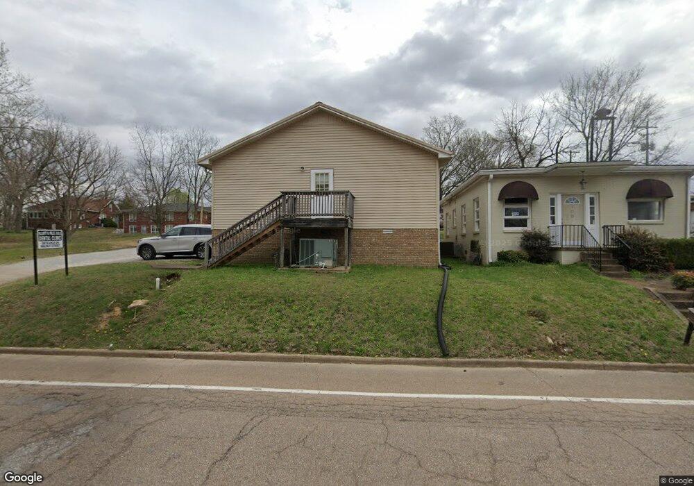
110 N Forrest Ave Camden, TN 38320
Estimated Value: $107,738 - $227,000
Studio
--
Bath
2,100
Sq Ft
$76/Sq Ft
Est. Value
About This Home
This home is located at 110 N Forrest Ave, Camden, TN 38320 and is currently estimated at $159,185, approximately $75 per square foot. 110 N Forrest Ave is a home with nearby schools including Camden Elementary School, Briarwood School, and Camden Junior High School.
Ownership History
Date
Name
Owned For
Owner Type
Purchase Details
Closed on
Sep 5, 2025
Sold by
Elliott Hills
Bought by
Madoc Investment Group Llc
Current Estimated Value
Purchase Details
Closed on
Jun 6, 1996
Sold by
Bridges Ted A
Bought by
Hills Elliott
Purchase Details
Closed on
Oct 25, 1988
Bought by
Bridges Ted A and Bridges Noami
Purchase Details
Closed on
Aug 15, 1980
Bought by
Bridges Bridges A and Bridges Renora
Purchase Details
Closed on
Jun 26, 1980
Purchase Details
Closed on
Jan 1, 1980
Create a Home Valuation Report for This Property
The Home Valuation Report is an in-depth analysis detailing your home's value as well as a comparison with similar homes in the area
Home Values in the Area
Average Home Value in this Area
Purchase History
| Date | Buyer | Sale Price | Title Company |
|---|---|---|---|
| Madoc Investment Group Llc | $108,300 | Accommodation/Courtesy Recordi | |
| Madoc Investment Group Llc | $108,300 | Accommodation/Courtesy Recordi | |
| Hills Elliott | $13,500 | -- | |
| Bridges Ted A | -- | -- | |
| Bridges Bridges A | -- | -- | |
| -- | -- | -- | |
| -- | $8,000 | -- |
Source: Public Records
Tax History
| Year | Tax Paid | Tax Assessment Tax Assessment Total Assessment is a certain percentage of the fair market value that is determined by local assessors to be the total taxable value of land and additions on the property. | Land | Improvement |
|---|---|---|---|---|
| 2025 | $1,970 | $84,120 | $8,360 | $75,760 |
| 2024 | $1,903 | $51,920 | $4,800 | $47,120 |
| 2023 | $1,903 | $51,920 | $4,800 | $47,120 |
| 2022 | $1,903 | $51,920 | $4,800 | $47,120 |
| 2021 | $1,903 | $51,920 | $4,800 | $47,120 |
| 2020 | $1,904 | $51,920 | $4,800 | $47,120 |
| 2019 | $2,024 | $51,240 | $4,800 | $46,440 |
| 2018 | $2,024 | $51,240 | $4,800 | $46,440 |
| 2017 | $2,024 | $51,240 | $4,800 | $46,440 |
| 2016 | $2,024 | $51,240 | $4,800 | $46,440 |
| 2015 | $2,044 | $51,240 | $4,800 | $46,440 |
| 2014 | $1,920 | $51,240 | $4,800 | $46,440 |
| 2013 | $1,920 | $48,741 | $0 | $0 |
Source: Public Records
Map
Nearby Homes
- 6100 Old Highway 69s
- 1 Maple Ave
- 122 W Lake St
- 113 S Forrest Ave
- 134 N Church Ave
- 129 S Forrest Ave
- 120 Magnolia St
- 130 Turnpike Ave
- 147 Berry St
- 000 Wyly St
- 172 W Main St
- 162 Factory St
- 181 Washington Ave
- 241 Stigall St
- 0 Forrest Ave N
- 170 Westview St
- 103 Highway 641 N
- 0 George St
- 98 Oak Hill St
- 205 Timothy Dr
- 109 N Church Ave
- 111 N Church Ave
- 111 Church Ave
- 114 N Forrest Ave
- 113 N Church Ave
- 0 Riverview Rd Unit RTC1387062
- 126 Post Oak
- 117 N Forrest Ave
- 105 N Church Ave
- 0 Morningside Ave Unit RTC2891557
- 0 Morningside Ave Unit 134207
- 115 N Church Ave
- 119 N Church Ave
- 123 N Forrest Ave
- 125 N Forrest Ave
- 108 Vine St
- 123 N Church Ave
- 17 N Church Ave
- 119 Maple Ave Unit 1
- 119 Maple Ave Unit 2
Your Personal Tour Guide
Ask me questions while you tour the home.