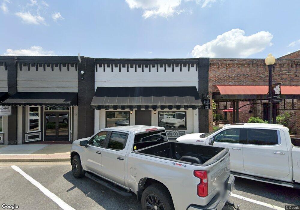
110 N Main St Boston, GA 31626
Estimated Value: $110,630
Studio
--
Bath
2,664
Sq Ft
$42/Sq Ft
Est. Value
About This Home
This home is located at 110 N Main St, Boston, GA 31626 and is currently estimated at $110,630, approximately $41 per square foot. 110 N Main St is a home located in Thomas County with nearby schools including Hand in Hand Primary School, Garrison-Pilcher Elementary School, and Cross Creek Elementary School.
Ownership History
Date
Name
Owned For
Owner Type
Purchase Details
Closed on
Jul 28, 2014
Sold by
Herring Faye J
Bought by
Magginnis Jerry N and Magginnis Beverly A
Current Estimated Value
Home Financials for this Owner
Home Financials are based on the most recent Mortgage that was taken out on this home.
Original Mortgage
$206,268
Interest Rate
4.19%
Mortgage Type
Commercial
Purchase Details
Closed on
Nov 4, 1991
Bought by
Herring Faye J and Herring Jos
Create a Home Valuation Report for This Property
The Home Valuation Report is an in-depth analysis detailing your home's value as well as a comparison with similar homes in the area
Purchase History
| Date | Buyer | Sale Price | Title Company |
|---|---|---|---|
| Magginnis Jerry N | $45,000 | -- | |
| Herring Faye J | $1,500 | -- |
Source: Public Records
Mortgage History
| Date | Status | Borrower | Loan Amount |
|---|---|---|---|
| Closed | Magginnis Jerry N | $206,268 |
Source: Public Records
Tax History
| Year | Tax Paid | Tax Assessment Tax Assessment Total Assessment is a certain percentage of the fair market value that is determined by local assessors to be the total taxable value of land and additions on the property. | Land | Improvement |
|---|---|---|---|---|
| 2025 | $2,782 | $32,795 | $1,046 | $31,749 |
| 2024 | $1,076 | $33,338 | $1,046 | $32,292 |
| 2023 | $970 | $30,502 | $1,046 | $29,456 |
| 2022 | $695 | $28,929 | $1,046 | $27,883 |
| 2021 | $784 | $29,702 | $1,046 | $28,656 |
| 2020 | $888 | $32,902 | $1,046 | $31,856 |
| 2019 | $894 | $32,902 | $1,046 | $31,856 |
| 2018 | $759 | $27,736 | $1,046 | $26,690 |
| 2017 | $809 | $29,107 | $1,046 | $28,061 |
| 2016 | $601 | $40,620 | $1,046 | $39,575 |
| 2015 | $675 | $21,553 | $1,046 | $20,507 |
| 2014 | $508 | $17,946 | $1,046 | $16,901 |
| 2013 | -- | $17,946 | $1,045 | $16,900 |
Source: Public Records
Map
Nearby Homes
- 365& 371 Oakridge Ave
- 611 Bn S Main St
- 612-BN W Railroad Ave
- 146 Old Highway 84 W
- 2773 Georgia 33
- 75 Southern Breeze Ln
- 0000 0000 Ozell Road (15+ - Acres)
- 2815 Parker Rd
- 9900 Ozell Rd
- 0 Ozell Rd Unit 26629849
- 2156 County Road 78
- 390 Crabapple Dr
- 1477 Fox Meadow Ln
- 7402 Coffee Rd
- 00 Cone Road & Beulah Church Rd
- 2195 Coffee Rd
- 138
- 2951 Summerhill Rd
- 12431 US Highway 84 E
- 1038-BA Church St
- 104 N Main St
- 114 N Main St
- 105 N Main St
- 107 N Main St
- 420 Boles Rd
- 119 N Main St
- Lot 7 S Main St
- Lot 6 S Main St
- 110 Bn S Main
- 109 W Jefferson St
- 123 S Main St Unit BN
- Lot 5 S Main St
- 126 Pear St
- 116 Sioux St
- 128 N Stephens St
- 125 N Stephens St
- 125 S Stephens St
- 112 S Stephens St
- 116 W Railroad Ave
- 113 S Norton St
Your Personal Tour Guide
Ask me questions while you tour the home.