110 N Mason Rd Brookline, NH 03033
Estimated Value: $802,000 - $1,496,234
4
Beds
3
Baths
3,165
Sq Ft
$389/Sq Ft
Est. Value
About This Home
This home is located at 110 N Mason Rd, Brookline, NH 03033 and is currently estimated at $1,232,309, approximately $389 per square foot. 110 N Mason Rd is a home located in Hillsborough County with nearby schools including Richard Maghakian Memorial School, Captain Samuel Douglass Academy, and Hollis-Brookline Middle School.
Ownership History
Date
Name
Owned For
Owner Type
Purchase Details
Closed on
Apr 26, 2021
Sold by
Arel Matthew and Arel Melissa
Bought by
Galeazzi John P and Galeazzi Sara M
Current Estimated Value
Home Financials for this Owner
Home Financials are based on the most recent Mortgage that was taken out on this home.
Original Mortgage
$895,125
Outstanding Balance
$810,574
Interest Rate
3.05%
Mortgage Type
Purchase Money Mortgage
Estimated Equity
$421,735
Purchase Details
Closed on
Mar 8, 2012
Sold by
Arel Melissa
Bought by
Arel Matthew and Arel Melissa
Create a Home Valuation Report for This Property
The Home Valuation Report is an in-depth analysis detailing your home's value as well as a comparison with similar homes in the area
Home Values in the Area
Average Home Value in this Area
Purchase History
| Date | Buyer | Sale Price | Title Company |
|---|---|---|---|
| Galeazzi John P | $875,000 | None Available | |
| Arel Matthew | -- | -- |
Source: Public Records
Mortgage History
| Date | Status | Borrower | Loan Amount |
|---|---|---|---|
| Open | Galeazzi John P | $895,125 |
Source: Public Records
Tax History Compared to Growth
Tax History
| Year | Tax Paid | Tax Assessment Tax Assessment Total Assessment is a certain percentage of the fair market value that is determined by local assessors to be the total taxable value of land and additions on the property. | Land | Improvement |
|---|---|---|---|---|
| 2024 | $27,222 | $1,203,970 | $180,670 | $1,023,300 |
| 2023 | $25,018 | $1,203,961 | $180,661 | $1,023,300 |
| 2022 | $22,353 | $752,130 | $120,130 | $632,000 |
| 2021 | $21,502 | $752,340 | $120,240 | $632,100 |
| 2020 | $20,916 | $752,384 | $120,284 | $632,100 |
| 2019 | $22,476 | $752,461 | $120,361 | $632,100 |
| 2018 | $22,242 | $752,428 | $120,328 | $632,100 |
| 2017 | $19,117 | $580,373 | $116,573 | $463,800 |
| 2016 | $18,898 | $580,416 | $116,616 | $463,800 |
| 2015 | $18,021 | $580,398 | $116,598 | $463,800 |
| 2014 | $19,066 | $580,398 | $116,598 | $463,800 |
| 2013 | $18,362 | $580,522 | $126,622 | $453,900 |
Source: Public Records
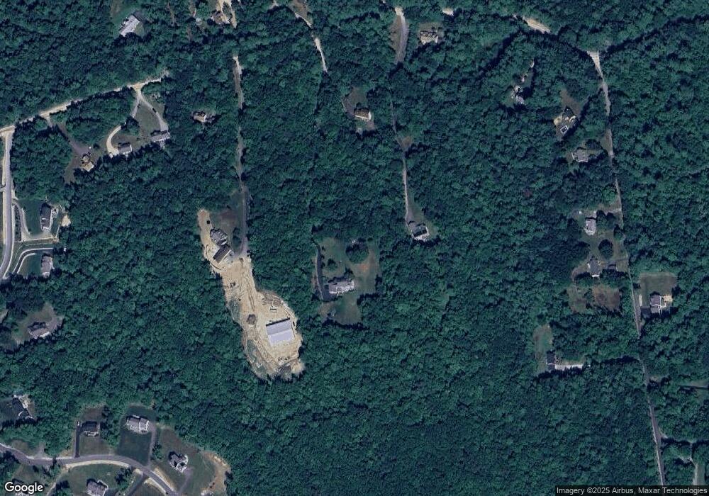
Map
Nearby Homes
- 104 N Mason Rd
- 3 Ben Farnsworth Rd
- 38 Countryside Dr
- 301 Mile Slip Rd
- 131 Badger Hill Dr
- 81 Badger Hill Dr
- 8 Colburn Rd
- 303 Route 13
- 126 Boynton Hill Rd
- 119 Boynton Hill Rd
- 7 Winterberry Rd
- 9 Winterberry Rd
- 0 Ball Hill Rd
- 59 Cleveland Hill Rd
- 5 Carons Way
- 00 Ruonala Rd
- 25 Rocky Pond Rd
- 22 Hobart Hill Rd
- 88 Noons Quarry Rd
- 75 Merriam Hill Rd
- 110 N Mason Rd Unit Accessory Unit
- 110 N Mason Rd Unit Accessory Unit
- 110 N Mason Rd
- 106 N Mason Rd
- 114 N Mason Rd
- 108 N Mason Rd
- 22 Countryside Dr
- 116 N Mason Rd
- 24 Countryside Dr
- 11 Ben Farnsworth Rd
- 118 N Mason Rd
- 20 Countryside Dr
- 7 Ben Farnsworth Rd
- 120 N Mason Rd
- 5 Ben Farnsworth Rd
- 102 N Mason Rd
- 33 N Mason Rd
- 28 Countryside Dr
- 6 Countryside Dr
- 4 Countryside Dr