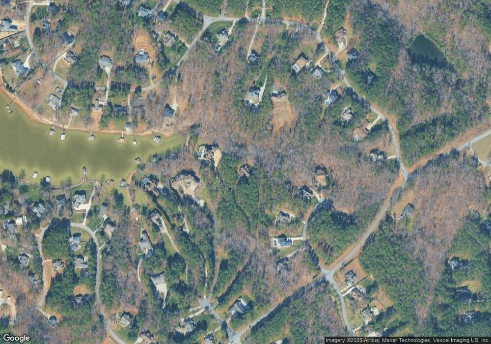
110 Nautical Point Ct Unit 9,10 Mooresville, NC 28117
Estimated Value: $654,000 - $1,136,000
2
Beds
6
Baths
1,600
Sq Ft
$504/Sq Ft
Est. Value
About This Home
This home is located at 110 Nautical Point Ct Unit 9,10, Mooresville, NC 28117 and is currently estimated at $807,194, approximately $504 per square foot. 110 Nautical Point Ct Unit 9,10 is a home located in Iredell County with nearby schools including Lakeshore Elementary School, Lakeshore Middle School, and Lake Norman High School.
Ownership History
Date
Name
Owned For
Owner Type
Purchase Details
Closed on
Sep 26, 2024
Sold by
Kososki Bruce Alan and Kososki Olesia
Bought by
Kososki Family Revocable Living Trust and Kososki
Current Estimated Value
Purchase Details
Closed on
Oct 20, 2022
Sold by
Lentz Joyce A
Bought by
Hoover Holdings Llc
Purchase Details
Closed on
Nov 19, 2018
Sold by
Lost Highway Properties Llc
Bought by
Kososki Bruce and Kososki Olesia
Create a Home Valuation Report for This Property
The Home Valuation Report is an in-depth analysis detailing your home's value as well as a comparison with similar homes in the area
Home Values in the Area
Average Home Value in this Area
Purchase History
| Date | Buyer | Sale Price | Title Company |
|---|---|---|---|
| Kososki Family Revocable Living Trust | -- | None Listed On Document | |
| Hoover Holdings Llc | $750,000 | -- | |
| Kososki Bruce | $2,950,000 | None Available |
Source: Public Records
Tax History Compared to Growth
Tax History
| Year | Tax Paid | Tax Assessment Tax Assessment Total Assessment is a certain percentage of the fair market value that is determined by local assessors to be the total taxable value of land and additions on the property. | Land | Improvement |
|---|---|---|---|---|
| 2024 | $3,532 | $578,660 | $120,000 | $458,660 |
| 2023 | $3,532 | $578,660 | $120,000 | $458,660 |
| 2022 | $2,233 | $346,920 | $97,500 | $249,420 |
| 2021 | $2,233 | $346,920 | $97,500 | $249,420 |
| 2020 | $2,233 | $346,920 | $97,500 | $249,420 |
| 2019 | $2,146 | $346,920 | $97,500 | $249,420 |
| 2018 | $1,891 | $307,710 | $82,500 | $225,210 |
| 2017 | $1,891 | $307,710 | $82,500 | $225,210 |
| 2016 | $1,891 | $307,710 | $82,500 | $225,210 |
| 2015 | $329 | $55,000 | $55,000 | $0 |
| 2014 | $330 | $60,000 | $60,000 | $0 |
Source: Public Records
Map
Nearby Homes
- 119 Marietta Rd
- 125 Whispering Cove Ct Unit 60
- 172 Tennessee Cir
- 107 Kenway Loop
- 116 Whispering Cove Ct
- 281 Marietta Rd
- 138 Waterbury Dr
- L4 Marietta Rd
- 228 Wildwood Cove Dr
- 152 Fox Hunt Dr
- 214 Wildwood Cove Dr
- 220 Kenway Loop
- 0 Brer Fox Trail Unit 6 CAR4256803
- 191 Belfry Loop
- 117 Wolf Hill Dr
- 168 Blue Ridge Trail
- 156 Bay Shore Loop
- 111 St Sophia Ct
- 125 Trent Pines Dr
- 152 Bay Shore Loop
- 110 Nautical Point Ct Unit 9,10
- 112 Nautical Point Ct
- 121 Hawks Nest Ln
- 117 Hawks Nest Ln
- 114 Nautical Point Ct
- 125 Hawks Nest Ln
- 127 Hawks Nest Ln
- 159 Tennessee Cir
- 165 Tennessee Cir
- 113 Hawks Nest Ln
- 113 Hawks Nest Ln Unit 3
- 116 Nautical Point Ct
- 330 Tennessee Cir
- 115 Nautical Point Ct
- 109 Hawks Nest Ln
- 171 Tennessee Cir
- 124 Hawks Nest Ln
- 128 Hawks Nest Ln
- 137 Tennessee Cir
- 129 Tennessee Cir
