Estimated Value: $273,398 - $306,000
3
Beds
2
Baths
1,138
Sq Ft
$253/Sq Ft
Est. Value
About This Home
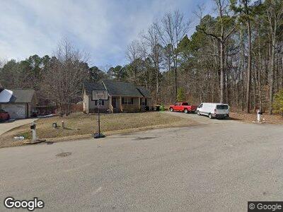
This home is located at 110 Orkney Rd Unit LOT1, Stem, NC 27581 and is currently estimated at $288,350, approximately $253 per square foot. 110 Orkney Rd Unit LOT1 is a home located in Granville County with nearby schools including Tar River Elementary School, Butner-Stem Middle School, and Granville Central High School.
Ownership History
Date
Name
Owned For
Owner Type
Purchase Details
Closed on
Oct 17, 2017
Sold by
Atwater Lorrie Walker and Atwater Roland
Bought by
Piland Ryan J
Current Estimated Value
Home Financials for this Owner
Home Financials are based on the most recent Mortgage that was taken out on this home.
Original Mortgage
$156,565
Outstanding Balance
$133,130
Interest Rate
3.78%
Mortgage Type
New Conventional
Estimated Equity
$155,009
Purchase Details
Closed on
Apr 16, 2013
Sold by
Walker Walter H and Walker Jane D
Bought by
Atwater Lorrie Walker and Atwater Ronald
Purchase Details
Closed on
Apr 29, 2011
Sold by
Mallard Homes Inc
Bought by
Walker Walter H
Home Financials for this Owner
Home Financials are based on the most recent Mortgage that was taken out on this home.
Original Mortgage
$119,900
Interest Rate
4.74%
Mortgage Type
VA
Create a Home Valuation Report for This Property
The Home Valuation Report is an in-depth analysis detailing your home's value as well as a comparison with similar homes in the area
Home Values in the Area
Average Home Value in this Area
Purchase History
| Date | Buyer | Sale Price | Title Company |
|---|---|---|---|
| Piland Ryan J | $155,000 | None Available | |
| Atwater Lorrie Walker | -- | None Available | |
| Walker Walter H | $120,000 | -- |
Source: Public Records
Mortgage History
| Date | Status | Borrower | Loan Amount |
|---|---|---|---|
| Open | Piland Ryan J | $156,565 | |
| Previous Owner | Walker Walter H | $119,900 |
Source: Public Records
Tax History Compared to Growth
Tax History
| Year | Tax Paid | Tax Assessment Tax Assessment Total Assessment is a certain percentage of the fair market value that is determined by local assessors to be the total taxable value of land and additions on the property. | Land | Improvement |
|---|---|---|---|---|
| 2024 | $1,796 | $237,939 | $40,000 | $197,939 |
| 2023 | $1,823 | $131,694 | $30,000 | $101,694 |
| 2022 | $1,812 | $131,694 | $30,000 | $101,694 |
| 2021 | $1,807 | $131,694 | $30,000 | $101,694 |
| 2020 | $1,873 | $131,694 | $30,000 | $101,694 |
| 2019 | $1,873 | $131,694 | $30,000 | $101,694 |
| 2018 | $1,873 | $131,694 | $30,000 | $101,694 |
| 2016 | $1,744 | $118,010 | $30,000 | $88,010 |
| 2015 | $1,614 | $118,010 | $30,000 | $88,010 |
| 2014 | $1,544 | $118,010 | $30,000 | $88,010 |
| 2013 | -- | $118,010 | $30,000 | $88,010 |
Source: Public Records
Map
Nearby Homes
- 421 Angus Place
- 126 Creedmoor Rd
- 3220 Tump Wilkins Rd
- 3214 Tump Wilkins Rd
- 3555 Jacobs Rd
- 114 Carriage Hill Dr
- 211 Richmond Run
- 217 Griffis Dr
- Lot 5 Stoneridge Dr
- 1037 Sunshine Cir
- 1516 Bradsher Dr
- 3690 Mabel Ln
- 2603 Brogden Rd
- 2680 Olmstead Rd
- 1638 Crystal Ln
- 1623 Rogers Pointe Ln
- 1599 Rogers Pointe Ln
- 909 E F St
- 4082 Culbreth Rd
- 4019 Belltown Rd