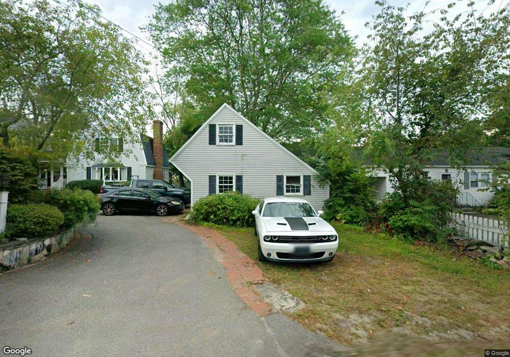
110 Pine Hill Rd Nashua, NH 03063
Northwest Nashua NeighborhoodEstimated Value: $459,577 - $582,000
2
Beds
1
Bath
1,564
Sq Ft
$327/Sq Ft
Est. Value
About This Home
This home is located at 110 Pine Hill Rd, Nashua, NH 03063 and is currently estimated at $510,894, approximately $326 per square foot. 110 Pine Hill Rd is a home located in Hillsborough County with nearby schools including Birch Hill Elementary School, Elm Street Middle School, and Nashua High School North.
Ownership History
Date
Name
Owned For
Owner Type
Purchase Details
Closed on
May 18, 2015
Sold by
Ramalhinho Celeste J
Bought by
Ramalhinho Paulo J
Current Estimated Value
Home Financials for this Owner
Home Financials are based on the most recent Mortgage that was taken out on this home.
Original Mortgage
$250,000
Outstanding Balance
$194,801
Interest Rate
4%
Mortgage Type
Adjustable Rate Mortgage/ARM
Estimated Equity
$316,093
Purchase Details
Closed on
Oct 26, 1981
Bought by
Ramalhinho Celeste
Create a Home Valuation Report for This Property
The Home Valuation Report is an in-depth analysis detailing your home's value as well as a comparison with similar homes in the area
Home Values in the Area
Average Home Value in this Area
Purchase History
| Date | Buyer | Sale Price | Title Company |
|---|---|---|---|
| Ramalhinho Paulo J | -- | -- | |
| Ramalhinho Celeste | -- | -- |
Source: Public Records
Mortgage History
| Date | Status | Borrower | Loan Amount |
|---|---|---|---|
| Open | Ramalhinho Celeste | $250,000 | |
| Previous Owner | Ramalhinho Celeste | $100,000 |
Source: Public Records
Tax History
| Year | Tax Paid | Tax Assessment Tax Assessment Total Assessment is a certain percentage of the fair market value that is determined by local assessors to be the total taxable value of land and additions on the property. | Land | Improvement |
|---|---|---|---|---|
| 2024 | $6,589 | $414,400 | $159,100 | $255,300 |
| 2023 | $6,659 | $365,300 | $127,300 | $238,000 |
| 2022 | $6,601 | $365,300 | $127,300 | $238,000 |
| 2021 | $5,352 | $230,500 | $84,900 | $145,600 |
| 2020 | $5,196 | $229,800 | $84,900 | $144,900 |
| 2019 | $5,000 | $229,800 | $84,900 | $144,900 |
| 2018 | $4,874 | $229,800 | $84,900 | $144,900 |
| 2017 | $4,869 | $188,800 | $69,300 | $119,500 |
| 2016 | $4,733 | $188,800 | $69,300 | $119,500 |
| 2015 | $4,631 | $188,800 | $69,300 | $119,500 |
| 2014 | $4,839 | $201,200 | $74,300 | $126,900 |
Source: Public Records
Map
Nearby Homes
- 111 Coburn Ave Unit 33
- 44 Coburn Woods Unit 44
- 33 Cannongate Rd Unit 33
- 15 Dover St
- 36 Profile Cir
- 21 Sims St
- 7 Mount Vernon St
- 44 Broad St
- 43 Hawkstead Hollow Unit U34
- 26 Sunapee St
- 65 Glastonbury Dr Unit U118
- 7 Bradford St
- 46 Andover Down Unit U286
- 18 Century Rd
- 7 Buker St
- 3 Kirk St Unit 57
- 11 Amherst Terrace
- 24 Sanborn Dr
- 3 Paddington Place
- 6 Cornwall Ln Unit 7
Your Personal Tour Guide
Ask me questions while you tour the home.