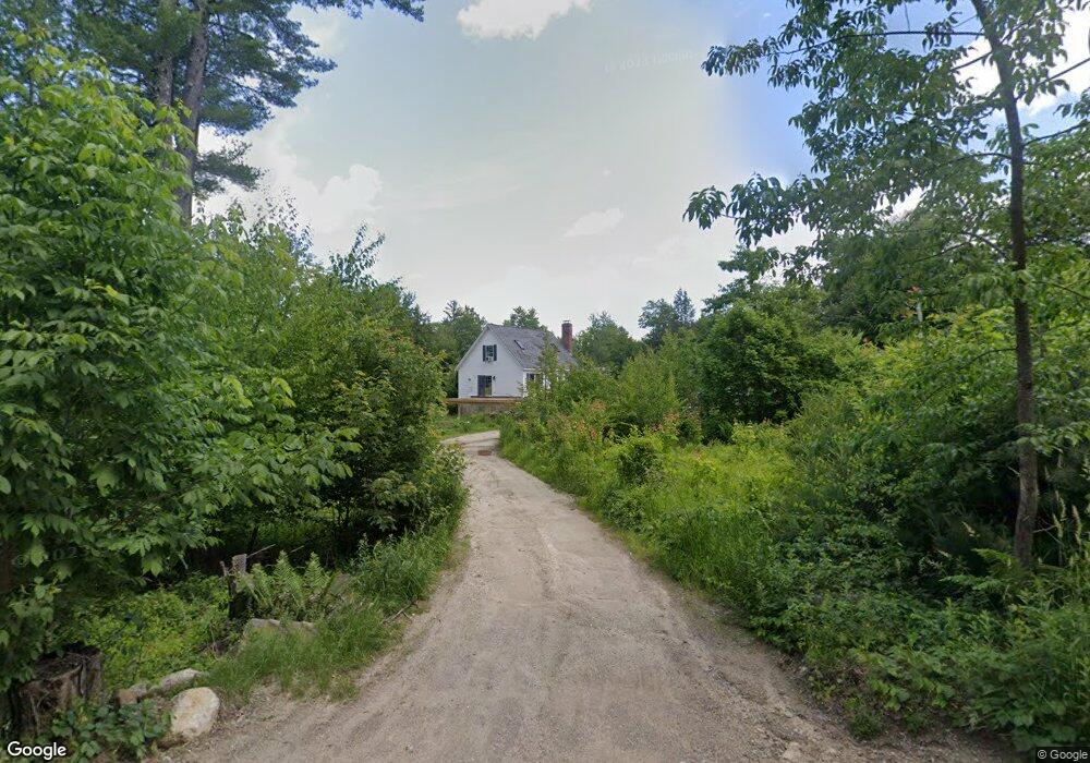
110 Poor Farm Rd Farmington, NH 03835
Estimated Value: $448,000 - $503,000
3
Beds
2
Baths
1,563
Sq Ft
$305/Sq Ft
Est. Value
About This Home
This home is located at 110 Poor Farm Rd, Farmington, NH 03835 and is currently estimated at $476,527, approximately $304 per square foot. 110 Poor Farm Rd is a home located in Strafford County with nearby schools including Valley View Community School, Henry Wilson Memorial School, and Farmington Senior High School.
Ownership History
Date
Name
Owned For
Owner Type
Purchase Details
Closed on
Nov 25, 2008
Sold by
Fisher Beth I and Fisher Mickey S
Bought by
Day Michael R
Current Estimated Value
Home Financials for this Owner
Home Financials are based on the most recent Mortgage that was taken out on this home.
Original Mortgage
$191,958
Outstanding Balance
$126,214
Interest Rate
6.03%
Mortgage Type
Purchase Money Mortgage
Estimated Equity
$350,313
Create a Home Valuation Report for This Property
The Home Valuation Report is an in-depth analysis detailing your home's value as well as a comparison with similar homes in the area
Home Values in the Area
Average Home Value in this Area
Purchase History
| Date | Buyer | Sale Price | Title Company |
|---|---|---|---|
| Day Michael R | $193,000 | -- |
Source: Public Records
Mortgage History
| Date | Status | Borrower | Loan Amount |
|---|---|---|---|
| Open | Day Michael R | $191,958 |
Source: Public Records
Tax History Compared to Growth
Tax History
| Year | Tax Paid | Tax Assessment Tax Assessment Total Assessment is a certain percentage of the fair market value that is determined by local assessors to be the total taxable value of land and additions on the property. | Land | Improvement |
|---|---|---|---|---|
| 2024 | $5,785 | $388,800 | $165,300 | $223,500 |
| 2023 | $5,491 | $214,000 | $74,000 | $140,000 |
| 2022 | $5,080 | $210,100 | $74,000 | $136,100 |
| 2021 | $4,910 | $210,100 | $74,000 | $136,100 |
| 2020 | $4,815 | $210,100 | $74,000 | $136,100 |
| 2019 | $4,673 | $210,100 | $74,000 | $136,100 |
| 2018 | $4,771 | $181,700 | $61,800 | $119,900 |
| 2017 | $5,053 | $181,700 | $61,800 | $119,900 |
| 2016 | $4,548 | $181,700 | $61,800 | $119,900 |
| 2015 | $4,559 | $181,700 | $61,800 | $119,900 |
| 2014 | $4,426 | $181,700 | $61,800 | $119,900 |
| 2013 | $3,996 | $190,290 | $60,840 | $129,450 |
Source: Public Records
Map
Nearby Homes
- 479 Ten Rod Rd
- TBD Merlin Rd
- 00 Squire Rd
- 90 Places Crossing Rd
- 210 Ten Rod Rd
- 296 Baxter Lake Dr
- 184 Pocahontas Ln Unit 184
- 151 Chocorua Way
- 1 Baxter Lake Dr Unit 347 Atoka Ln
- Map 220 Lot 16 Four Rod Rd
- 22 Stonewall Dr
- 00 Route 11 Unit 8
- 31 Beech River Cir
- 55 Paulson Rd
- 109 Spruce Dr
- 55 Balsam Dr
- 210 - Lot 00 Ten Rod Rd
- 53 Richards Way
- 43 Tappan St
- 66 Ten Rod Rd
- 102 Poor Farm Rd
- 92 Poor Farm Rd
- 125 Poor Farm Rd
- 81 Poor Farm Rd
- 87 Poor Farm Rd
- 76 Poor Farm Rd
- 73 Poor Farm Rd
- 97 Poor Farm Rd
- 58 Poor Farm Rd
- 53 Poor Farm Rd
- 462 Ten Rod Rd
- 48 Poor Farm Rd
- 191 Poor Farm Rd
- 456 Ten Rod Rd
- 35 Poor Farm Rd
- 32 Poor Farm Rd
- Map 22 Lot 18 Poor Farm Rd
- 00 Poor Farm Rd
- 468 Ten Rod Rd
- 180 Poor Farm Rd