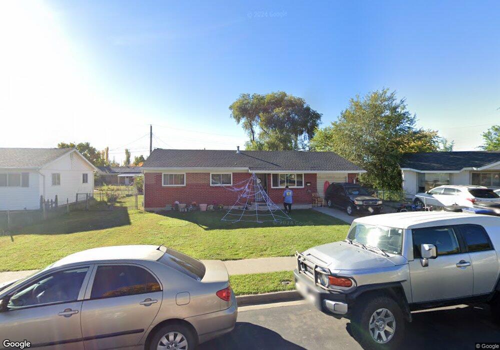
110 S 1920 W Provo, UT 84601
Franklin NeighborhoodEstimated Value: $365,000 - $397,000
3
Beds
1
Bath
962
Sq Ft
$395/Sq Ft
Est. Value
About This Home
This home is located at 110 S 1920 W, Provo, UT 84601 and is currently estimated at $380,404, approximately $395 per square foot. 110 S 1920 W is a home located in Utah County with nearby schools including Dixon Middle School, Provo High School, and Freedom Preparatory Academy.
Ownership History
Date
Name
Owned For
Owner Type
Purchase Details
Closed on
Oct 11, 2012
Sold by
Alonso Rosa S and Alonso Daisy S
Bought by
Alonso Rosa S and Gomez Diasy Alonso
Current Estimated Value
Home Financials for this Owner
Home Financials are based on the most recent Mortgage that was taken out on this home.
Original Mortgage
$120,447
Outstanding Balance
$82,377
Interest Rate
3.25%
Mortgage Type
FHA
Estimated Equity
$298,027
Purchase Details
Closed on
Apr 13, 2006
Sold by
Stringham Vera and Stringham Boyd H
Bought by
Alonso Rosa S and Alonso Daisy S
Home Financials for this Owner
Home Financials are based on the most recent Mortgage that was taken out on this home.
Original Mortgage
$127,991
Interest Rate
6.29%
Mortgage Type
FHA
Create a Home Valuation Report for This Property
The Home Valuation Report is an in-depth analysis detailing your home's value as well as a comparison with similar homes in the area
Home Values in the Area
Average Home Value in this Area
Purchase History
| Date | Buyer | Sale Price | Title Company |
|---|---|---|---|
| Alonso Rosa S | -- | Provo Land Title Co | |
| Alonso Rosa S | -- | First American Title Agency |
Source: Public Records
Mortgage History
| Date | Status | Borrower | Loan Amount |
|---|---|---|---|
| Open | Alonso Rosa S | $120,447 | |
| Closed | Alonso Rosa S | $127,991 |
Source: Public Records
Tax History
| Year | Tax Paid | Tax Assessment Tax Assessment Total Assessment is a certain percentage of the fair market value that is determined by local assessors to be the total taxable value of land and additions on the property. | Land | Improvement |
|---|---|---|---|---|
| 2025 | $1,741 | $182,655 | -- | -- |
| 2024 | $1,741 | $171,380 | $0 | $0 |
| 2023 | $1,696 | $164,560 | $0 | $0 |
| 2022 | $1,740 | $170,280 | $0 | $0 |
| 2021 | $1,319 | $225,100 | $84,500 | $140,600 |
| 2020 | $1,279 | $204,600 | $76,800 | $127,800 |
| 2019 | $1,129 | $187,900 | $76,800 | $111,100 |
| 2018 | $989 | $166,800 | $70,200 | $96,600 |
| 2017 | $922 | $85,525 | $0 | $0 |
| 2016 | $863 | $74,580 | $0 | $0 |
| 2015 | $854 | $74,580 | $0 | $0 |
| 2014 | $799 | $72,710 | $0 | $0 |
Source: Public Records
Map
Nearby Homes
- 146 S 1860 W
- 312 S 1920 W
- 213 N Geneva Rd
- 1631 W 50 N
- 255 N 1600 W Unit 148
- 255 N 1600 W Unit 108
- 255 N 1600 W Unit 94
- 255 N 1600 W Unit 73
- 89 S 1530 W
- 1541 W Lane Ct
- 1505 W 100 S
- 1774 W 520 S
- 249 West Ln Unit 10
- 2424 W 230 S
- 2471 W 180 S
- 1309 Westbridge Cir
- 154 N 2560 W
- 579 N Geneva Rd
- 1375 W 500 N Unit 95
- 218 N 1280 W
Your Personal Tour Guide
Ask me questions while you tour the home.