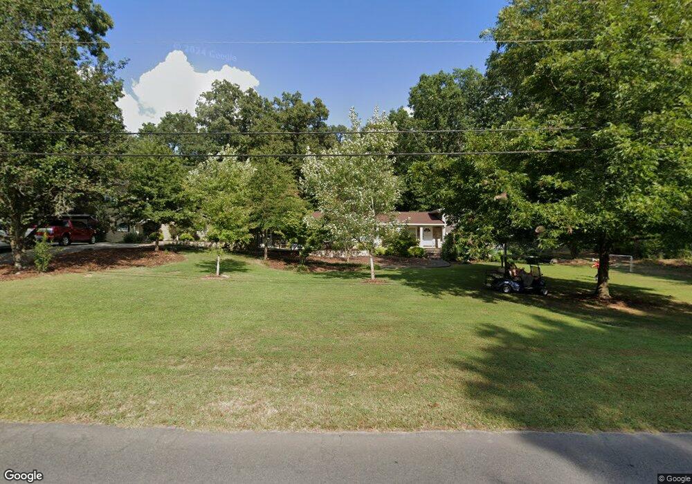
110 Sharondale Dr Dalton, GA 30721
Estimated Value: $351,151 - $490,000
3
Beds
3
Baths
2,666
Sq Ft
$155/Sq Ft
Est. Value
About This Home
This home is located at 110 Sharondale Dr, Dalton, GA 30721 and is currently estimated at $413,384, approximately $155 per square foot. 110 Sharondale Dr is a home located in Whitfield County with nearby schools including Pleasant Grove Elementary School, New Hope Middle School, and Northwest Whitfield County High School.
Ownership History
Date
Name
Owned For
Owner Type
Purchase Details
Closed on
Nov 3, 2021
Sold by
Ledford Jimmy Lamar
Bought by
Richards Donna Ledford and Richards Ryan Patrick
Current Estimated Value
Purchase Details
Closed on
Nov 30, 2018
Sold by
Ledford Julieanna J
Bought by
Ledford Jimmy Lamar
Purchase Details
Closed on
Sep 25, 2000
Sold by
Oxford David R
Bought by
Ledford Julieanna J
Purchase Details
Closed on
Oct 1, 1998
Bought by
Oxford David R
Create a Home Valuation Report for This Property
The Home Valuation Report is an in-depth analysis detailing your home's value as well as a comparison with similar homes in the area
Home Values in the Area
Average Home Value in this Area
Purchase History
| Date | Buyer | Sale Price | Title Company |
|---|---|---|---|
| Richards Donna Ledford | $230,000 | -- | |
| Ledford Jimmy Lamar | -- | -- | |
| Ledford Julieanna J | $200,000 | -- | |
| Oxford David R | -- | -- |
Source: Public Records
Tax History Compared to Growth
Tax History
| Year | Tax Paid | Tax Assessment Tax Assessment Total Assessment is a certain percentage of the fair market value that is determined by local assessors to be the total taxable value of land and additions on the property. | Land | Improvement |
|---|---|---|---|---|
| 2024 | $4,911 | $230,873 | $15,600 | $215,273 |
| 2023 | $4,911 | $163,750 | $10,600 | $153,150 |
| 2022 | $3,504 | $118,800 | $10,600 | $108,200 |
| 2021 | $3,432 | $116,307 | $10,600 | $105,707 |
| 2020 | $1,908 | $108,384 | $10,600 | $97,784 |
| 2019 | $3,361 | $108,384 | $10,600 | $97,784 |
| 2018 | $2,837 | $99,332 | $10,600 | $88,732 |
| 2017 | $2,838 | $99,332 | $10,600 | $88,732 |
| 2016 | $2,448 | $89,626 | $7,350 | $82,276 |
| 2014 | $2,214 | $89,626 | $7,350 | $82,276 |
| 2013 | -- | $101,864 | $7,350 | $94,514 |
Source: Public Records
Map
Nearby Homes
- 522 Westbrook Rd
- 117 Pleasant Hill Dr
- 2502 E Hillview Dr
- 192 Carly Dr
- 0 TRACT 5 2nd St
- 407 Quillian Rd
- 439 Westbrook Rd
- 2615 Cleveland Hwy
- 112 Albertson Dr
- The Braselton II Plan at The Andros
- The Manchester II Plan at The Andros
- The Buford II Plan at The Andros
- The Ellison II Plan at The Andros
- The Norwood II Plan at The Andros
- The Reynolds Plan at The Andros
- The Maddux II Plan at The Andros
- The Ryman Plan at The Andros
- The Rutledge Plan at The Andros
- 126 Andros Dr Unit 22D
- 110 Pinewood Way
- 111 Sharondale Dr
- 109 Sharondale Dr
- 115 Sharondale Dr
- 116 Sharondale Dr
- 108 Sharondale Dr
- 105 Sharondale Dr
- 112 Shallowford Rd
- 110 Shallowford Rd
- 118 Sharondale Dr
- 114 Shallowford Rd
- 108 Shallowford Rd
- 104 Sharondale Dr
- 117 Sharondale Dr
- 116 Shallowford Rd
- 106 Shallowford Rd
- 103 Sharondale Dr
- 102 Forrest Park Rd
- 103 Tonya Dr
- 120 Sharondale Dr
- 118 Shallowford Rd