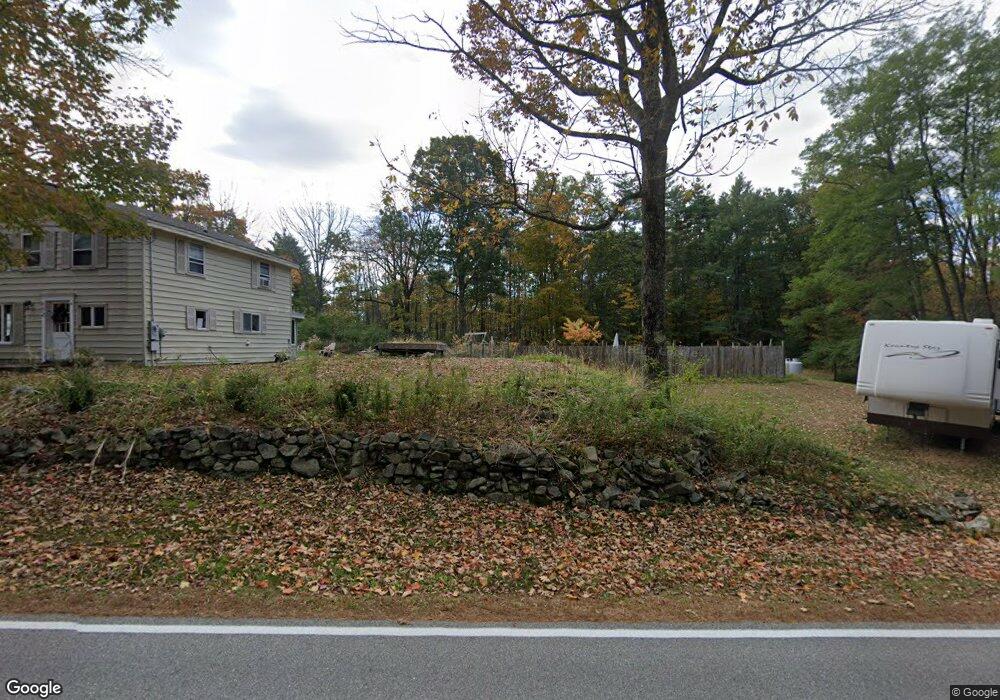
110 Simpson Rd Saco, ME 04072
North Saco NeighborhoodEstimated Value: $636,000 - $899,000
4
Beds
5
Baths
3,372
Sq Ft
$218/Sq Ft
Est. Value
About This Home
This home is located at 110 Simpson Rd, Saco, ME 04072 and is currently estimated at $733,513, approximately $217 per square foot. 110 Simpson Rd is a home located in York County with nearby schools including C K Burns School and Saco Middle School.
Ownership History
Date
Name
Owned For
Owner Type
Purchase Details
Closed on
Jun 21, 2010
Sold by
Doughty Jennifer S and Doughty Paul J
Bought by
Green Robert L and Green Kerry S
Current Estimated Value
Home Financials for this Owner
Home Financials are based on the most recent Mortgage that was taken out on this home.
Original Mortgage
$33,500
Interest Rate
4.88%
Mortgage Type
Unknown
Create a Home Valuation Report for This Property
The Home Valuation Report is an in-depth analysis detailing your home's value as well as a comparison with similar homes in the area
Home Values in the Area
Average Home Value in this Area
Purchase History
| Date | Buyer | Sale Price | Title Company |
|---|---|---|---|
| Green Robert L | $280,000 | -- |
Source: Public Records
Mortgage History
| Date | Status | Borrower | Loan Amount |
|---|---|---|---|
| Closed | Green Robert L | $33,500 | |
| Open | Green Robert L | $224,000 |
Source: Public Records
Tax History
| Year | Tax Paid | Tax Assessment Tax Assessment Total Assessment is a certain percentage of the fair market value that is determined by local assessors to be the total taxable value of land and additions on the property. | Land | Improvement |
|---|---|---|---|---|
| 2024 | $8,171 | $581,600 | $145,300 | $436,300 |
| 2023 | $8,579 | $581,600 | $145,300 | $436,300 |
| 2022 | $7,688 | $419,400 | $110,500 | $308,900 |
| 2021 | $7,484 | $396,400 | $100,300 | $296,100 |
| 2020 | $7,317 | $372,000 | $101,400 | $270,600 |
| 2019 | $7,209 | $372,000 | $101,400 | $270,600 |
| 2018 | $5,869 | $362,900 | $92,300 | $270,600 |
| 2017 | $6,153 | $337,500 | $86,000 | $251,500 |
| 2016 | $6,160 | $317,200 | $72,500 | $244,700 |
| 2015 | $6,020 | $313,200 | $71,400 | $241,800 |
| 2014 | $5,832 | $313,200 | $71,400 | $241,800 |
| 2013 | $5,819 | $313,200 | $71,400 | $241,800 |
Source: Public Records
Map
Nearby Homes
- 0 Simpson Rd
- 158 Lord Rd
- 4 Primrose Ln
- 130 Heath Rd
- 70 Beech Plains Rd
- 0 Beech Plains Rd
- 153 Mckenney Rd
- 17 Buzzell Rd
- 181 Watson Mill Rd
- 30 Joy Valley Rd
- 986 New County Rd
- 5 Coltons Way
- 43 New County Rd
- 10 Tide Water Dr
- 11 Tide Water Dr
- 1 Tide Water Dr
- 12 Tide Water Dr
- 18 Buxton Rd
- 00 Cottonwood Dr
- 69 Old Orchard Rd
Your Personal Tour Guide
Ask me questions while you tour the home.