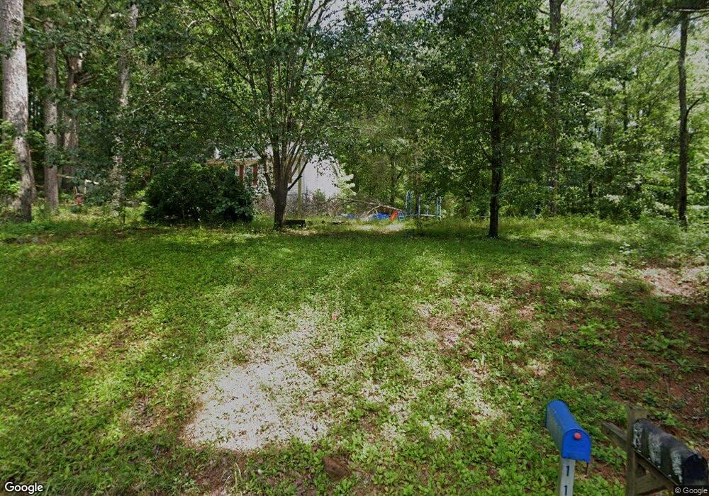
110 Sioux River Dr Franklin, GA 30217
Estimated Value: $122,000 - $265,000
3
Beds
2
Baths
1,008
Sq Ft
$189/Sq Ft
Est. Value
About This Home
This home is located at 110 Sioux River Dr, Franklin, GA 30217 and is currently estimated at $190,608, approximately $189 per square foot. 110 Sioux River Dr is a home located in Heard County with nearby schools including Heard County High School.
Ownership History
Date
Name
Owned For
Owner Type
Purchase Details
Closed on
Dec 29, 2021
Sold by
Stevenson Lydia Kay
Bought by
West Chelsea L
Current Estimated Value
Purchase Details
Closed on
Nov 23, 1999
Sold by
Stevenson Martin Ray
Bought by
Stewart Rpbert R
Purchase Details
Closed on
Jul 20, 1995
Sold by
Stevenson Martin Ray
Bought by
Stevenson Martin Ray
Purchase Details
Closed on
Apr 1, 1991
Sold by
Reed Jackie L
Bought by
Carey Larry
Purchase Details
Closed on
Sep 1, 1990
Sold by
Williams Clark R
Bought by
Reed Jackie L
Create a Home Valuation Report for This Property
The Home Valuation Report is an in-depth analysis detailing your home's value as well as a comparison with similar homes in the area
Purchase History
| Date | Buyer | Sale Price | Title Company |
|---|---|---|---|
| West Chelsea L | $33,000 | -- | |
| Stevenson Lydia Kay | -- | -- | |
| Stewart Rpbert R | $52,100 | -- | |
| Stevenson Martin Ray | -- | -- | |
| Stevenson Martin Ray | $52,500 | -- | |
| Carey Larry | -- | -- | |
| Reed Jackie L | -- | -- |
Source: Public Records
Tax History
| Year | Tax Paid | Tax Assessment Tax Assessment Total Assessment is a certain percentage of the fair market value that is determined by local assessors to be the total taxable value of land and additions on the property. | Land | Improvement |
|---|---|---|---|---|
| 2024 | $810 | $33,874 | $6,576 | $27,298 |
| 2023 | $687 | $27,888 | $5,480 | $22,408 |
| 2022 | $276 | $26,098 | $4,098 | $22,000 |
| 2021 | $463 | $21,058 | $4,098 | $16,960 |
| 2020 | $456 | $20,546 | $4,098 | $16,448 |
| 2019 | $456 | $20,546 | $4,098 | $16,448 |
| 2018 | $465 | $20,546 | $4,098 | $16,448 |
| 2017 | $421 | $18,622 | $3,132 | $15,490 |
| 2016 | $421 | $18,622 | $3,132 | $15,490 |
| 2015 | -- | $25,107 | $5,734 | $19,374 |
| 2014 | -- | $25,108 | $5,734 | $19,374 |
| 2013 | -- | $28,912 | $5,734 | $23,178 |
Source: Public Records
Map
Nearby Homes
- 00 Tuscan Hills Rd
- 21.7+/- AC Franklin Pkwy
- 48.22 Franklin Pkwy
- 0 Tuscan Hills Rd Unit 10641286
- 319 +/- AC Georgia 100
- 140+/- AC Georgia 100
- 0 Georgia 100 Unit 10710915
- 0 Maple St Unit 10706559
- 0 Maple St Unit 26567225
- 11 River's Edge Ln Unit LOT 17
- 2176 Franklin Pkwy
- 277 Newnan St
- 284 Newnan St
- 940 Mary Johnson Dr
- 000 Us Highway 27
- 0 Bevis Rd Parcel 4
- 185 Patterson Dr
- 915 Pea Ridge Rd
- 22 Rivers Edge Ln Unit LOT 7
- 12 Rivers Edge Ln Unit LOT 2
- 58 Sioux River Dr
- 111 Creek River Dr
- 103 Sioux River Dr
- 55 Sioux River Dr
- 797 S River Rd
- 866 S River Rd
- 900 S River Rd
- 333 Creek River Dr
- 607 S River Rd
- 63 Jones Farm Rd
- 63 Jones Farm Rd Unit 380
- 850 S River Rd
- 91 Jones Farm Rd
- 0 Jones Farm Rd Unit 8815319
- 376 Creek River Dr
- 1125 S River Rd
- 1089 Franklin Pkwy
- 1087 Franklin Pkwy
- 194 Jones Farm Rd
- 1211 S River Rd
Your Personal Tour Guide
Ask me questions while you tour the home.