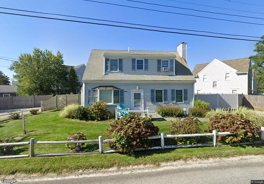
110 Taunton Ave Unit C Dennis, MA 02638
Dennis Village NeighborhoodEstimated Value: $598,000 - $1,437,000
3
Beds
3
Baths
1,426
Sq Ft
$838/Sq Ft
Est. Value
About This Home
This home is located at 110 Taunton Ave Unit C, Dennis, MA 02638 and is currently estimated at $1,194,404, approximately $837 per square foot. 110 Taunton Ave Unit C is a home located in Barnstable County with nearby schools including Dennis-Yarmouth Regional High School.
Ownership History
Date
Name
Owned For
Owner Type
Purchase Details
Closed on
Dec 12, 2016
Sold by
Chapin Beach Realty Ll
Bought by
Mayflower Beach Rt
Current Estimated Value
Home Financials for this Owner
Home Financials are based on the most recent Mortgage that was taken out on this home.
Original Mortgage
$562,500
Outstanding Balance
$465,964
Interest Rate
4%
Mortgage Type
Adjustable Rate Mortgage/ARM
Estimated Equity
$728,440
Create a Home Valuation Report for This Property
The Home Valuation Report is an in-depth analysis detailing your home's value as well as a comparison with similar homes in the area
Home Values in the Area
Average Home Value in this Area
Purchase History
| Date | Buyer | Sale Price | Title Company |
|---|---|---|---|
| Mayflower Beach Rt | $750,000 | -- |
Source: Public Records
Mortgage History
| Date | Status | Borrower | Loan Amount |
|---|---|---|---|
| Open | Mayflower Beach Rt | $562,500 |
Source: Public Records
Tax History Compared to Growth
Tax History
| Year | Tax Paid | Tax Assessment Tax Assessment Total Assessment is a certain percentage of the fair market value that is determined by local assessors to be the total taxable value of land and additions on the property. | Land | Improvement |
|---|---|---|---|---|
| 2025 | $5,328 | $1,230,400 | $0 | $1,230,400 |
| 2024 | $5,049 | $1,150,100 | $0 | $1,150,100 |
| 2023 | $4,403 | $942,800 | $0 | $942,800 |
| 2022 | $4,301 | $768,100 | $0 | $768,100 |
| 2021 | $4,173 | $692,000 | $0 | $692,000 |
| 2020 | $4,099 | $671,900 | $0 | $671,900 |
| 2019 | $3,948 | $639,800 | $0 | $639,800 |
| 2018 | $3,865 | $609,600 | $0 | $609,600 |
| 2017 | $3,749 | $609,600 | $0 | $609,600 |
| 2016 | $4,186 | $641,100 | $0 | $641,100 |
| 2015 | $1,065 | $166,400 | $0 | $166,400 |
| 2014 | $1,057 | $166,400 | $0 | $166,400 |
Source: Public Records
Map
Nearby Homes
- 7 Collins Ave
- 49 Rodoalph's Way
- 4 Spadoni Rd
- 4 Spadoni Way
- 94 Horsefoot Path
- 69 Horsefoot Path
- 25 Horsefoot Path
- 12 Dunes View Rd
- 156 Shore Dr
- 96 Shore Dr
- 37 Johnson Ln
- 7 Dolphin Way
- 73 Pilgrim Rd
- 19 Whig St
- 59 Hope Ln
- 19 Deacon Joseph Ln
- 645 Main St Back Lot
- 50 John Hall Cartway
- 50 John Hall Cartway Unit 50
- 30 W Woods
- 110 Taunton Ave
- 110 Taunton Ave Unit Masthead
- 110 Taunton Ave Unit 1-7
- 110 Taunton Ave Unit 7
- 110 Taunton Ave Unit 110
- 110 Taunton Ave Unit 6
- 110 Taunton Ave Unit 5
- 110 Taunton Ave Unit 3
- 110 Taunton Ave Unit 4
- 110 Taunton Ave Unit 1
- 110 Taunton Ave Unit 2
- 110 Taunton Ave Unit F
- 110 Taunton Ave Unit A
- 110 Taunton Ave Unit B
- 110 Taunton Ave Unit D
- 110 Taunton Ave Unit E
- 7 Schofield Rd
- 21 Schofield Rd
- 9 Schofield Rd
- 3 Schofield Rd