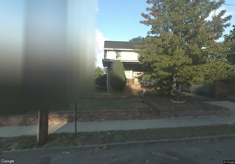
110 Welland Ave Unit 112 Irvington, NJ 07111
Estimated Value: $409,000 - $518,000
--
Bed
--
Bath
1,580
Sq Ft
$288/Sq Ft
Est. Value
About This Home
This home is located at 110 Welland Ave Unit 112, Irvington, NJ 07111 and is currently estimated at $454,887, approximately $287 per square foot. 110 Welland Ave Unit 112 is a home located in Essex County with nearby schools including Irvington High School and Burch Charter School of Excellence.
Ownership History
Date
Name
Owned For
Owner Type
Purchase Details
Closed on
May 31, 2001
Sold by
Estate Of George H Carroll
Bought by
James William and James Tomeka N Mcgee
Current Estimated Value
Home Financials for this Owner
Home Financials are based on the most recent Mortgage that was taken out on this home.
Original Mortgage
$147,650
Outstanding Balance
$56,037
Interest Rate
7.09%
Mortgage Type
FHA
Estimated Equity
$398,850
Purchase Details
Closed on
Sep 13, 1989
Sold by
Stagg Ricky and Stagg Donna
Bought by
Carroll George H
Create a Home Valuation Report for This Property
The Home Valuation Report is an in-depth analysis detailing your home's value as well as a comparison with similar homes in the area
Home Values in the Area
Average Home Value in this Area
Purchase History
| Date | Buyer | Sale Price | Title Company |
|---|---|---|---|
| James William | $150,000 | -- | |
| Carroll George H | $80,000 | -- |
Source: Public Records
Mortgage History
| Date | Status | Borrower | Loan Amount |
|---|---|---|---|
| Open | James William | $147,650 |
Source: Public Records
Tax History Compared to Growth
Tax History
| Year | Tax Paid | Tax Assessment Tax Assessment Total Assessment is a certain percentage of the fair market value that is determined by local assessors to be the total taxable value of land and additions on the property. | Land | Improvement |
|---|---|---|---|---|
| 2025 | $10,033 | $431,400 | $150,000 | $281,400 |
| 2024 | $10,033 | $165,200 | $25,000 | $140,200 |
| 2022 | $9,848 | $165,200 | $25,000 | $140,200 |
| 2021 | $9,877 | $165,200 | $25,000 | $140,200 |
| 2020 | $9,872 | $165,200 | $25,000 | $140,200 |
| 2019 | $9,605 | $165,200 | $25,000 | $140,200 |
| 2018 | $9,418 | $165,200 | $25,000 | $140,200 |
| 2017 | $9,375 | $165,200 | $25,000 | $140,200 |
| 2016 | $9,172 | $165,200 | $25,000 | $140,200 |
| 2015 | $8,959 | $165,200 | $25,000 | $140,200 |
| 2014 | $9,013 | $165,200 | $25,000 | $140,200 |
Source: Public Records
Map
Nearby Homes
- 70 Welland Ave
- 10-12 Medbourne Ave
- 86 Cleremont Ave
- 5 Norwood Ave
- 57 Rosehill Place
- 25 W Denman Place
- 111 Cleremont Ave Unit 119
- 111-119 Cleremont Ave
- 52 Melville Place
- 315 Coit St
- 1154 Grove St
- 46 Norwood Ave
- 93 Howard St
- 201 Maple Ave
- 81 Augusta St
- 602 Chancellor Ave
- 179 Berkshire Place
- 15 Victor Place
- 21 Victor Place
- 56 Augusta St
- 114 Welland Ave
- 110-112 Welland Ave
- 118 Welland Ave
- 98 Welland Ave Unit 100
- 96 Welland Ave
- 124 Welland Ave
- 94 Welland Ave
- 109 Welland Ave
- 111 Welland Ave
- 97 Welland Ave
- 107 Welland Ave
- 115 Welland Ave
- 103 Welland Ave
- 103 Welland Ave Unit 2
- 664 Lyons Ave Unit 66
- 117 Welland Ave
- 660-62 Lyons Ave
- 660 Lyons Ave Unit 62
- 119 Welland Ave
- 121 Welland Ave Unit 123