110 Wilderness Dr New Tazewell, TN 37825
Estimated Value: $141,000 - $293,000
--
Bed
1
Bath
1,056
Sq Ft
$178/Sq Ft
Est. Value
About This Home
This home is located at 110 Wilderness Dr, New Tazewell, TN 37825 and is currently estimated at $187,902, approximately $177 per square foot. 110 Wilderness Dr is a home located in Claiborne County with nearby schools including Heriage Christian Academy.
Ownership History
Date
Name
Owned For
Owner Type
Purchase Details
Closed on
Sep 28, 2004
Sold by
Federal National Mortgage Association
Bought by
Smith William Allen
Current Estimated Value
Home Financials for this Owner
Home Financials are based on the most recent Mortgage that was taken out on this home.
Original Mortgage
$64,000
Outstanding Balance
$31,653
Interest Rate
5.75%
Estimated Equity
$156,249
Purchase Details
Closed on
Jan 1, 1984
Bought by
Phillips Lester and Phillips Maria
Purchase Details
Closed on
Jan 2, 1974
Create a Home Valuation Report for This Property
The Home Valuation Report is an in-depth analysis detailing your home's value as well as a comparison with similar homes in the area
Home Values in the Area
Average Home Value in this Area
Purchase History
| Date | Buyer | Sale Price | Title Company |
|---|---|---|---|
| Smith William Allen | $65,000 | -- | |
| Phillips Lester | -- | -- | |
| -- | -- | -- |
Source: Public Records
Mortgage History
| Date | Status | Borrower | Loan Amount |
|---|---|---|---|
| Open | Not Available | $64,000 |
Source: Public Records
Tax History Compared to Growth
Tax History
| Year | Tax Paid | Tax Assessment Tax Assessment Total Assessment is a certain percentage of the fair market value that is determined by local assessors to be the total taxable value of land and additions on the property. | Land | Improvement |
|---|---|---|---|---|
| 2024 | $535 | $22,875 | $2,600 | $20,275 |
| 2023 | $535 | $22,875 | $2,600 | $20,275 |
| 2022 | $458 | $22,875 | $2,600 | $20,275 |
| 2021 | $445 | $17,275 | $2,075 | $15,200 |
| 2020 | $445 | $17,275 | $2,075 | $15,200 |
| 2019 | $445 | $17,275 | $2,075 | $15,200 |
| 2018 | $445 | $17,275 | $2,075 | $15,200 |
| 2017 | $445 | $17,275 | $2,075 | $15,200 |
| 2016 | $458 | $17,750 | $2,075 | $15,675 |
| 2015 | $440 | $17,750 | $2,075 | $15,675 |
| 2014 | $440 | $17,765 | $0 | $0 |
Source: Public Records
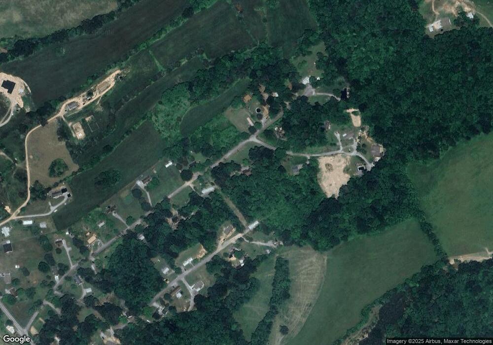
Map
Nearby Homes
- 162 Wilderness Dr
- 112 Sunflower Ln
- 346 Bailey Dr
- 8 Grandview Ln
- 7 Grandview Ln
- 6 Grandview Ln
- 275 Grandview Ln
- 1087 Harmon Rd
- 454 Atkins Rd
- 306 Mountain Rd
- 352 Rutherford Dr
- 216 Mountain Rd
- 115 Red Oak Ln
- 218 Adair Dr
- 137 Adair Dr
- 0 Harmon Rd
- 0 Harmon Cir
- 323 Harmon Rd
- Lot 1 Harmon Rd
- 427 Daniel Hollow Rd
- 253 Shumate Dr
- 115 Wilderness Dr
- 142 Wilderness Dr
- 243 Duncan Trail
- 526 Garnet Trail
- 0 Shumate Dr
- 321 Shumate Dr
- 256 Duncan Trail
- 234 Duncan Trail
- 223 Shumate Dr
- 153 Wilderness Dr
- 198 Shumate Dr
- 166 Wilderness Dr
- 190 Duncan Trail
- 0 Duncan Unit 640141
- 0 Duncan Unit 640137
- 0 Duncan Unit 689144
- 0 Duncan Unit 689143
- 159 Duncan Trail
- 1298 Mountain Rd