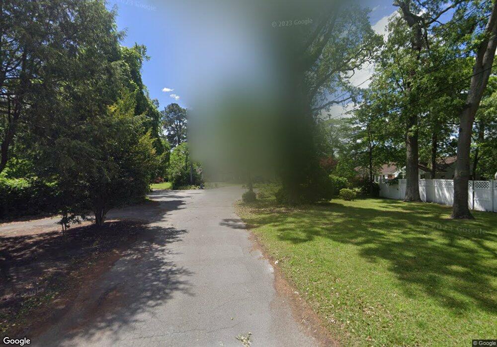
1100 Battery Cir Chesapeake, VA 23323
Deep Creek NeighborhoodEstimated Value: $517,000 - $631,000
4
Beds
3
Baths
2,896
Sq Ft
$203/Sq Ft
Est. Value
About This Home
This home is located at 1100 Battery Cir, Chesapeake, VA 23323 and is currently estimated at $589,051, approximately $203 per square foot. 1100 Battery Cir is a home located in Chesapeake City with nearby schools including G.A. Treakle Elementary School, Deep Creek Middle School, and Deep Creek High.
Ownership History
Date
Name
Owned For
Owner Type
Purchase Details
Closed on
Mar 29, 2011
Sold by
Ingram Robert C
Bought by
Bergen Stephen D
Current Estimated Value
Home Financials for this Owner
Home Financials are based on the most recent Mortgage that was taken out on this home.
Original Mortgage
$375,623
Outstanding Balance
$262,034
Interest Rate
5.04%
Mortgage Type
VA
Estimated Equity
$327,017
Purchase Details
Closed on
Mar 25, 2010
Sold by
Twohig John T
Bought by
Ingram Robert C
Home Financials for this Owner
Home Financials are based on the most recent Mortgage that was taken out on this home.
Original Mortgage
$380,972
Interest Rate
5.5%
Mortgage Type
FHA
Create a Home Valuation Report for This Property
The Home Valuation Report is an in-depth analysis detailing your home's value as well as a comparison with similar homes in the area
Home Values in the Area
Average Home Value in this Area
Purchase History
| Date | Buyer | Sale Price | Title Company |
|---|---|---|---|
| Bergen Stephen D | $389,550 | -- | |
| Ingram Robert C | $388,000 | -- |
Source: Public Records
Mortgage History
| Date | Status | Borrower | Loan Amount |
|---|---|---|---|
| Open | Bergen Stephen D | $375,623 | |
| Previous Owner | Ingram Robert C | $380,972 |
Source: Public Records
Tax History Compared to Growth
Tax History
| Year | Tax Paid | Tax Assessment Tax Assessment Total Assessment is a certain percentage of the fair market value that is determined by local assessors to be the total taxable value of land and additions on the property. | Land | Improvement |
|---|---|---|---|---|
| 2025 | $5,692 | $574,900 | $195,000 | $379,900 |
| 2024 | $5,692 | $563,600 | $182,000 | $381,600 |
| 2023 | $5,153 | $563,500 | $169,000 | $394,500 |
| 2022 | $5,071 | $502,100 | $156,000 | $346,100 |
| 2021 | $4,778 | $455,000 | $135,000 | $320,000 |
| 2020 | $4,665 | $444,300 | $135,000 | $309,300 |
| 2019 | $4,601 | $438,200 | $135,000 | $303,200 |
| 2018 | $3,965 | $349,600 | $125,000 | $224,600 |
| 2017 | $3,671 | $349,600 | $125,000 | $224,600 |
| 2016 | $3,671 | $349,600 | $125,000 | $224,600 |
| 2015 | $3,671 | $349,600 | $125,000 | $224,600 |
| 2014 | $3,720 | $354,300 | $125,000 | $229,300 |
Source: Public Records
Map
Nearby Homes
- 1220 Boxwood Dr
- 1308 Boxwood Dr
- 1241 N River Dr
- 2009 Battery Park Rd
- 2036 Maywood St
- 928 Michael Dr
- 2404 Livesay Rd
- 2817 Camelot Blvd
- 5029 Deep Creek Blvd Unit 202
- 1228 Deep Creek Blvd
- 14 Woodland St
- 1415 Gust Ln
- 2813 Squire Ct
- 2249 Tennessee Dr
- 14 Davis St
- 41 Irwin St
- 130 Monmouth St
- 4421 George Washington Hwy
- 917 Page Ct
- 14 Connor Place
- 1104 Battery Cir
- 2213 Battery Park Rd
- 2217 Battery Park Rd
- 2221 Battery Park Rd
- 2153 Arbutus Cir
- 2225 Battery Park Rd
- 2157 Arbutus Cir
- 1116 Dane St
- 2216 Battery Park Rd
- 2212 Battery Park Rd
- 1117 Dane St
- 2220 Battery Park Rd
- 2208 Battery Park Rd
- 2141 Arbutus Cir
- 1114 Dane St
- 2229 Battery Park Rd
- 2224 Battery Park Rd
- 2204 Battery Park Rd
- 1120 Saint Julian Dr
- 1113 Dane St
