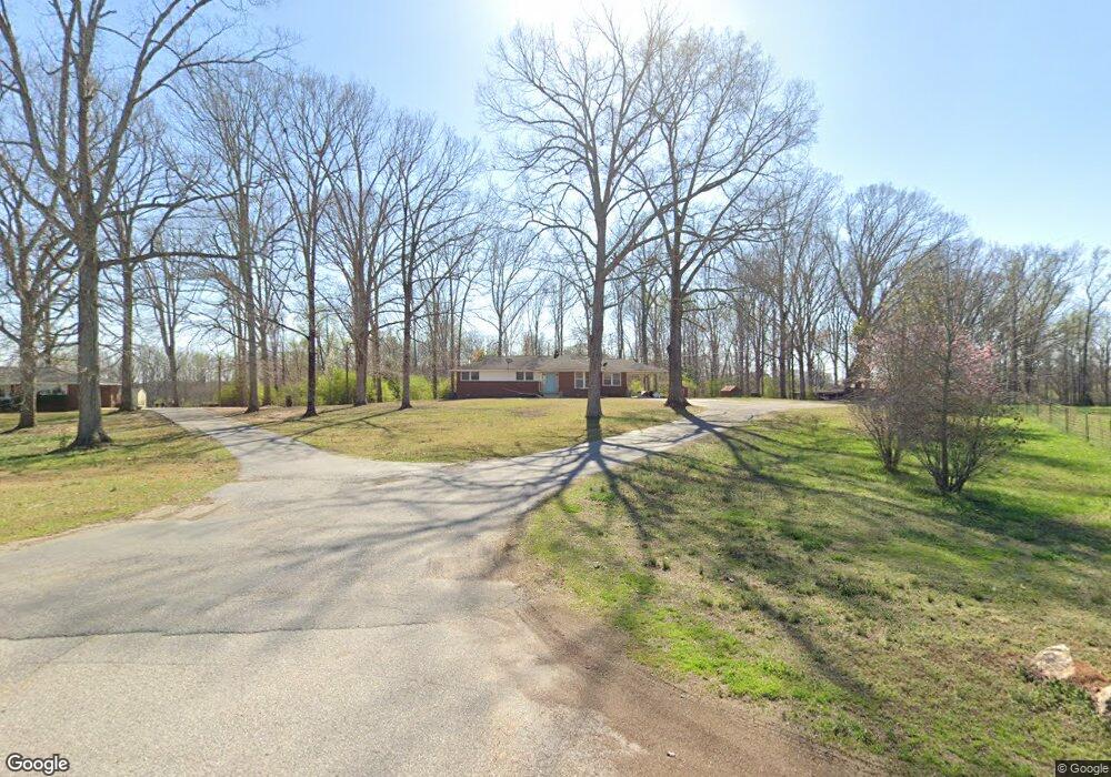
1100 Bryant Rd Anderson, SC 29621
Estimated Value: $143,000 - $182,994
--
Bed
--
Bath
1,736
Sq Ft
$93/Sq Ft
Est. Value
About This Home
This home is located at 1100 Bryant Rd, Anderson, SC 29621 and is currently estimated at $161,999, approximately $93 per square foot. 1100 Bryant Rd is a home with nearby schools including Belton Honea Path High School.
Ownership History
Date
Name
Owned For
Owner Type
Purchase Details
Closed on
Jul 11, 2025
Sold by
Calvert Allison B and Calvert Michael A
Bought by
Barton Camryn N and Barton Bryant A
Current Estimated Value
Home Financials for this Owner
Home Financials are based on the most recent Mortgage that was taken out on this home.
Original Mortgage
$122,400
Outstanding Balance
$122,194
Interest Rate
6.89%
Mortgage Type
New Conventional
Estimated Equity
$39,805
Purchase Details
Closed on
Jan 12, 2025
Sold by
Barton Russell
Bought by
Calvert Allison B and Calvert Michael A
Create a Home Valuation Report for This Property
The Home Valuation Report is an in-depth analysis detailing your home's value as well as a comparison with similar homes in the area
Home Values in the Area
Average Home Value in this Area
Purchase History
| Date | Buyer | Sale Price | Title Company |
|---|---|---|---|
| Barton Camryn N | $144,000 | None Listed On Document | |
| Barton Camryn N | $144,000 | None Listed On Document | |
| Calvert Allison B | -- | None Listed On Document | |
| Calvert Allison B | -- | None Listed On Document | |
| Calvert Allison B | -- | None Listed On Document |
Source: Public Records
Mortgage History
| Date | Status | Borrower | Loan Amount |
|---|---|---|---|
| Open | Barton Camryn N | $122,400 | |
| Closed | Barton Camryn N | $122,400 |
Source: Public Records
Tax History Compared to Growth
Tax History
| Year | Tax Paid | Tax Assessment Tax Assessment Total Assessment is a certain percentage of the fair market value that is determined by local assessors to be the total taxable value of land and additions on the property. | Land | Improvement |
|---|---|---|---|---|
| 2024 | $2,310 | $6,460 | $840 | $5,620 |
| 2023 | $2,310 | $6,460 | $840 | $5,620 |
| 2022 | $2,217 | $6,460 | $840 | $5,620 |
| 2021 | $1,986 | $5,590 | $660 | $4,930 |
| 2020 | $1,962 | $5,590 | $660 | $4,930 |
| 2019 | $1,962 | $5,590 | $660 | $4,930 |
| 2018 | $1,975 | $5,590 | $660 | $4,930 |
| 2017 | -- | $5,590 | $660 | $4,930 |
| 2016 | $1,888 | $5,260 | $460 | $4,800 |
| 2015 | $1,945 | $5,260 | $460 | $4,800 |
| 2014 | $1,928 | $0 | $0 | $0 |
Source: Public Records
Map
Nearby Homes
- 1617 Due West (Lot 1) Hwy
- 1617 Due West (Lot 3) Hwy
- 1617 Due West (Lot 2) Hwy
- 1617 Due Hwy W Unit (lot 3)
- 1617 Due Hwy W Unit (lot 2)
- 1617 Due Hwy W Unit (lot 1)
- 217 Long Branch Rd
- 215 Long Branch Rd
- 7 Long Branch Rd
- 00 Robertson Rd
- 1139 Wright School Rd
- 203 Branford St Unit SUN0130
- 2604 Broadway Lake Rd
- 104 Hart Rd
- 101 Rocky Top Rd
- 113 P-14-64
- 4261 S Carolina 413
- 151 Hannah Cir
- 1332 Honey Creek Rd
- 0 Broadway Lake Rd Unit 23383777
- 1102 Bryant Rd
- 1014 Bryant Rd
- 1011 Bryant Rd
- 1111 Bryant Rd
- 2741 Highway 413
- 923 Bryant Rd
- 1202 Bryant Rd
- 916 Bryant Rd
- 2701 Highway 413
- 2717 Highway 413
- 2811 Highway 413
- 2617 Highway 413
- 2712 Highway 413
- 1302 Bryant Rd
- 220 Hatten Rd
- 2817 Highway 413
- 135 Hatten Rd
- 1301 Bryant Rd
- 2907 Highway 413
- 803 Bryant Rd