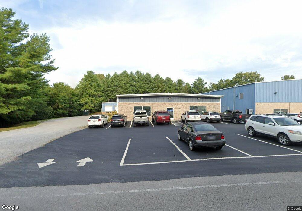
1100 Chocolate Dr Cookeville, TN 38501
Estimated Value: $2,369,771
--
Bed
1
Bath
10,360
Sq Ft
$229/Sq Ft
Est. Value
About This Home
This home is located at 1100 Chocolate Dr, Cookeville, TN 38501 and is currently estimated at $2,369,771, approximately $228 per square foot. 1100 Chocolate Dr is a home located in Putnam County with nearby schools including Northeast Elementary School, Algood Middle School, and Cookeville High School.
Ownership History
Date
Name
Owned For
Owner Type
Purchase Details
Closed on
Dec 17, 2024
Sold by
G & J Properties
Bought by
Joseph Warlick Memorial Foundation Inc
Current Estimated Value
Home Financials for this Owner
Home Financials are based on the most recent Mortgage that was taken out on this home.
Original Mortgage
$2,200,000
Interest Rate
6.69%
Mortgage Type
Construction
Purchase Details
Closed on
Aug 9, 1996
Sold by
T L T Inc
Bought by
G & J Ptn
Purchase Details
Closed on
Dec 15, 1989
Bought by
T L T Inc
Purchase Details
Closed on
Jul 14, 1989
Bought by
Fletcher Kenneth F
Create a Home Valuation Report for This Property
The Home Valuation Report is an in-depth analysis detailing your home's value as well as a comparison with similar homes in the area
Home Values in the Area
Average Home Value in this Area
Purchase History
| Date | Buyer | Sale Price | Title Company |
|---|---|---|---|
| Joseph Warlick Memorial Foundation Inc | $2,250,000 | None Listed On Document | |
| Joseph Warlick Memorial Foundation Inc | $2,250,000 | None Listed On Document | |
| G & J Ptn | $250,000 | -- | |
| T L T Inc | $163,800 | -- | |
| Fletcher Kenneth F | $60,000 | -- |
Source: Public Records
Mortgage History
| Date | Status | Borrower | Loan Amount |
|---|---|---|---|
| Previous Owner | Joseph Warlick Memorial Foundation Inc | $2,200,000 |
Source: Public Records
Tax History Compared to Growth
Tax History
| Year | Tax Paid | Tax Assessment Tax Assessment Total Assessment is a certain percentage of the fair market value that is determined by local assessors to be the total taxable value of land and additions on the property. | Land | Improvement |
|---|---|---|---|---|
| 2024 | $7,284 | $203,440 | $33,200 | $170,240 |
| 2023 | $7,284 | $203,440 | $33,200 | $170,240 |
| 2022 | $6,697 | $203,440 | $33,200 | $170,240 |
| 2021 | $6,697 | $203,440 | $33,200 | $170,240 |
| 2020 | $7,896 | $203,440 | $33,200 | $170,240 |
| 2019 | $7,896 | $201,640 | $33,200 | $168,440 |
| 2018 | $7,199 | $201,640 | $33,200 | $168,440 |
| 2017 | $7,199 | $201,640 | $33,200 | $168,440 |
| 2016 | $7,199 | $201,640 | $33,200 | $168,440 |
| 2015 | $7,471 | $201,640 | $33,200 | $168,440 |
| 2014 | $7,196 | $194,227 | $0 | $0 |
Source: Public Records
Map
Nearby Homes
- 1130 Chocolate Dr
- 1545 Doris Dr
- 1535 Doris Dr
- 1552 Barnes Dr
- 1401 Country Club Place
- 1631 Doris Dr
- 1500 Country Club Place
- 1411 Country Club Place
- 1541 Barnes Dr
- 320 Big Mac Dr
- 1641 Doris Dr
- 1421 Country Club Place
- 1522 Barnes Dr
- 1525 Doris Dr
- 1531 Barnes Dr
- 1550 E 10th St
- 2010 Burton Branch Rd
- 2044 Burton Branch Rd
- 670 W Main St
- 1511 Country Club Place