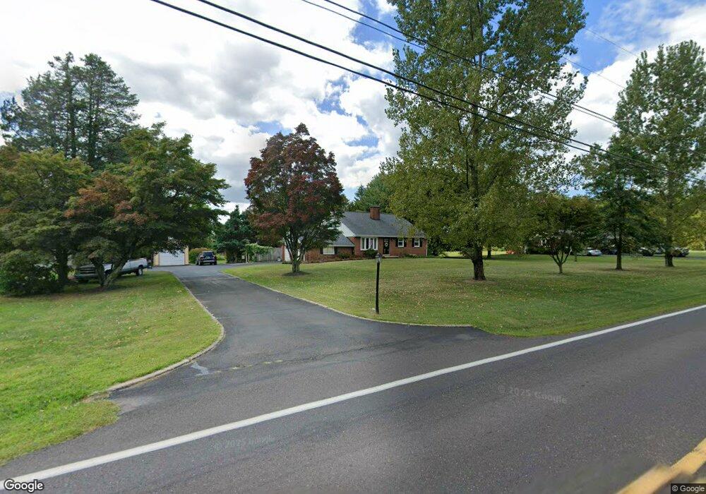
1100 Route 152 Perkasie, PA 18944
Estimated Value: $441,000 - $567,000
3
Beds
2
Baths
1,221
Sq Ft
$405/Sq Ft
Est. Value
About This Home
This home is located at 1100 Route 152, Perkasie, PA 18944 and is currently estimated at $494,707, approximately $405 per square foot. 1100 Route 152 is a home located in Bucks County with nearby schools including Pennridge High School, Plumstead Christ School Peace Val, and St. Jude Catholic School.
Ownership History
Date
Name
Owned For
Owner Type
Purchase Details
Closed on
Aug 24, 2001
Sold by
Rawa Frank J
Bought by
Rawa Francis J and Rawa Janice
Current Estimated Value
Home Financials for this Owner
Home Financials are based on the most recent Mortgage that was taken out on this home.
Original Mortgage
$130,000
Interest Rate
7.06%
Purchase Details
Closed on
Mar 8, 1999
Sold by
Rawa Frank J and Rawa Joseph J
Bought by
Rawa Frank J
Create a Home Valuation Report for This Property
The Home Valuation Report is an in-depth analysis detailing your home's value as well as a comparison with similar homes in the area
Home Values in the Area
Average Home Value in this Area
Purchase History
| Date | Buyer | Sale Price | Title Company |
|---|---|---|---|
| Rawa Francis J | $200,000 | -- | |
| Rawa Frank J | -- | -- |
Source: Public Records
Mortgage History
| Date | Status | Borrower | Loan Amount |
|---|---|---|---|
| Closed | Rawa Francis J | $130,000 |
Source: Public Records
Tax History Compared to Growth
Tax History
| Year | Tax Paid | Tax Assessment Tax Assessment Total Assessment is a certain percentage of the fair market value that is determined by local assessors to be the total taxable value of land and additions on the property. | Land | Improvement |
|---|---|---|---|---|
| 2025 | $5,363 | $31,280 | $5,600 | $25,680 |
| 2024 | $5,363 | $31,280 | $5,600 | $25,680 |
| 2023 | $5,301 | $31,280 | $5,600 | $25,680 |
| 2022 | $5,301 | $31,280 | $5,600 | $25,680 |
| 2021 | $5,301 | $31,280 | $5,600 | $25,680 |
| 2020 | $5,301 | $31,280 | $5,600 | $25,680 |
| 2019 | $5,269 | $31,280 | $5,600 | $25,680 |
| 2018 | $5,269 | $31,280 | $5,600 | $25,680 |
| 2017 | $5,230 | $31,280 | $5,600 | $25,680 |
| 2016 | $5,230 | $31,280 | $5,600 | $25,680 |
| 2015 | -- | $31,280 | $5,600 | $25,680 |
| 2014 | -- | $31,280 | $5,600 | $25,680 |
Source: Public Records
Map
Nearby Homes
- 1400 N Limekiln Pike
- 1012 Callowhill Rd
- 642 Rickert Rd
- 744 Broad St
- 447 Maregan Dr
- 530 Upper Church Rd
- 11 Paige Trail
- 607 Telegraph Rd
- 155 Green St
- 193 Curley Mill Rd
- 109 Upper Stump Rd
- 1 Baldwin Way
- 0003 Baldwin Way
- 0004 Baldwin Way
- 0002 Baldwin Way
- 2 Baldwin Way
- 810 Callowhill Rd
- 170 W Main St
- 1161 Upper Stump Rd
- 920 Minsi Trail
- 1028 Route 152
- 1110 Route 152
- 1103 Route 152
- 1033 Route 152
- 1115 Route 152
- 1000 Route 152
- 1128 Pennsylvania 152
- 1128 Route 152
- 1016 Route 152
- 1012 Route 152
- 1013 Route 152
- 1134 Route 152
- 935 Route 152
- 935 Route 152 Unit 152
- 2026 Mill Rd
- 2008 Mill Rd
- 1908 Mill Rd
- 1206 Pennsylvania 152
- 2002 Mill Rd
- 1934 Mill Rd