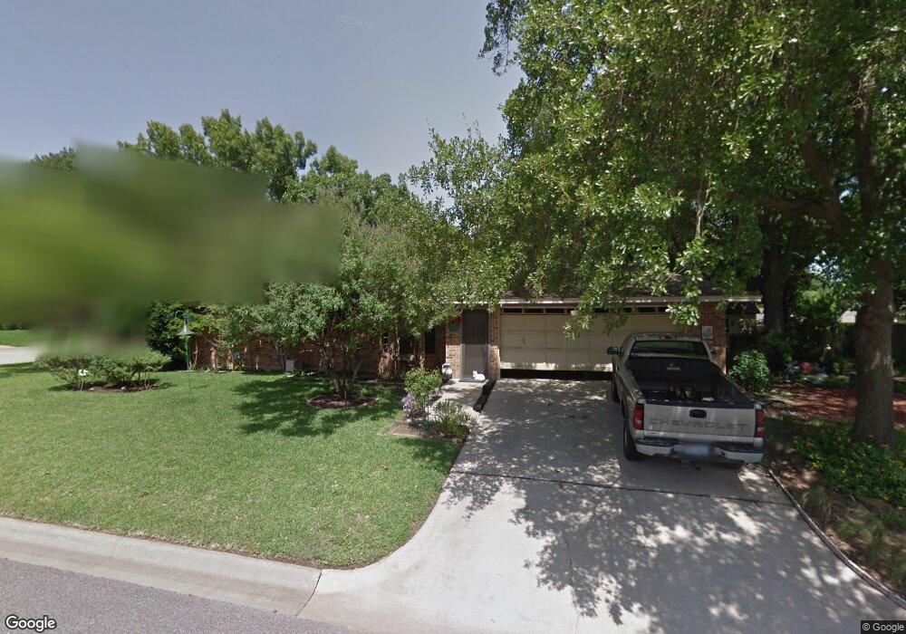
1100 Skylark Dr Denton, TX 76205
South Denton NeighborhoodEstimated Value: $363,370 - $406,000
--
Bed
2
Baths
2,027
Sq Ft
$194/Sq Ft
Est. Value
About This Home
This home is located at 1100 Skylark Dr, Denton, TX 76205 and is currently estimated at $393,843, approximately $194 per square foot. 1100 Skylark Dr is a home located in Denton County with nearby schools including Houston Elementary School, McMath Middle School, and Denton High School.
Ownership History
Date
Name
Owned For
Owner Type
Purchase Details
Closed on
Feb 14, 2007
Sold by
Strickland Paul and Strickland Charlotte
Bought by
Strickland Paul and Strickland Charlotte
Current Estimated Value
Purchase Details
Closed on
Mar 9, 2000
Sold by
Bendzick E Joseph and Bendzick Mary M
Bought by
Strickland Paul and Strickland Charlotte
Create a Home Valuation Report for This Property
The Home Valuation Report is an in-depth analysis detailing your home's value as well as a comparison with similar homes in the area
Home Values in the Area
Average Home Value in this Area
Purchase History
| Date | Buyer | Sale Price | Title Company |
|---|---|---|---|
| Strickland Paul | -- | None Available | |
| Strickland Paul | -- | -- |
Source: Public Records
Tax History Compared to Growth
Tax History
| Year | Tax Paid | Tax Assessment Tax Assessment Total Assessment is a certain percentage of the fair market value that is determined by local assessors to be the total taxable value of land and additions on the property. | Land | Improvement |
|---|---|---|---|---|
| 2025 | $1,056 | $268,121 | $90,313 | $177,808 |
| 2024 | $5,391 | $279,323 | $0 | $0 |
| 2023 | $1,056 | $253,930 | $90,313 | $206,956 |
| 2022 | $4,900 | $230,845 | $79,688 | $192,274 |
| 2021 | $4,665 | $222,564 | $53,125 | $169,439 |
| 2020 | $4,361 | $190,781 | $34,000 | $156,781 |
| 2019 | $4,615 | $193,417 | $34,000 | $159,417 |
| 2018 | $4,462 | $184,693 | $34,000 | $150,693 |
| 2017 | $4,242 | $171,625 | $34,000 | $138,199 |
| 2016 | $2,481 | $156,023 | $34,000 | $122,023 |
| 2015 | $2,414 | $152,032 | $34,000 | $120,872 |
| 2014 | $2,414 | $138,211 | $34,000 | $104,211 |
| 2013 | -- | $136,754 | $34,000 | $102,754 |
Source: Public Records
Map
Nearby Homes
- 1000 Lynhurst Ln
- 829 Skylark Dr
- 1012 Indian Ridge Dr
- 824 Sandpiper Dr
- 916 Smokerise Cir
- 821 Sandpiper Dr
- 2226 Savannah Trail
- 816 Chapel Dr
- 2216 Jefferson Trail
- 720 Smokerise Cir
- 1108 Ellison Park Cir
- 924 Ridgecrest Cir
- 2253 Hollyhill Ln
- 2012 Hollyhill Ln
- 2272 Hollyhill Ln
- 2120 Fairfax Rd
- 2218 Southridge Dr
- 2009 Lake Fork Ct
- 2000 Lamprey Cir
- 2100 Fairfax Rd
- 1104 Skylark Dr
- 1101 Sandpiper Dr
- 1105 Sandpiper Dr
- 1008 Skylark Dr
- 1101 Skylark Dr
- 1009 Sandpiper Dr
- 1109 Sandpiper Dr
- 1105 Skylark Dr
- 1009 Skylark Dr
- 1004 Skylark Dr
- 1112 Skylark Dr
- 1005 Sandpiper Dr
- 1113 Sandpiper Dr
- 1100 Sandpiper Dr
- 1005 Skylark Dr
- 1104 Sandpiper Dr
- 1100 Lynhurst Ln
- 1000 Skylark Dr
- 1113 Skylark Dr
- 1008 Sandpiper Dr