11000 Gould Dr Unit BLK Manitou Beach, MI 49253
Estimated Value: $361,000 - $419,000
2
Beds
1
Bath
825
Sq Ft
$466/Sq Ft
Est. Value
About This Home
This home is located at 11000 Gould Dr Unit BLK, Manitou Beach, MI 49253 and is currently estimated at $384,077, approximately $465 per square foot. 11000 Gould Dr Unit BLK is a home located in Lenawee County with nearby schools including Addison Elementary School, Addison Middle School, and Addison High School.
Ownership History
Date
Name
Owned For
Owner Type
Purchase Details
Closed on
Jun 15, 2015
Sold by
Fink Gary L and Fink Gail A
Bought by
Leininger Robert W and Leininger Krista M
Current Estimated Value
Home Financials for this Owner
Home Financials are based on the most recent Mortgage that was taken out on this home.
Original Mortgage
$169,200
Outstanding Balance
$115,782
Interest Rate
0.78%
Mortgage Type
New Conventional
Estimated Equity
$268,295
Purchase Details
Closed on
Jun 18, 2012
Sold by
Valentine Kim J and Valentine Nancy A
Bought by
Fink Gary L and Fink Gail A
Create a Home Valuation Report for This Property
The Home Valuation Report is an in-depth analysis detailing your home's value as well as a comparison with similar homes in the area
Home Values in the Area
Average Home Value in this Area
Purchase History
| Date | Buyer | Sale Price | Title Company |
|---|---|---|---|
| Leininger Robert W | $187,883 | Barristers Title | |
| Fink Gary L | $182,100 | None Available |
Source: Public Records
Mortgage History
| Date | Status | Borrower | Loan Amount |
|---|---|---|---|
| Open | Leininger Robert W | $169,200 |
Source: Public Records
Tax History Compared to Growth
Tax History
| Year | Tax Paid | Tax Assessment Tax Assessment Total Assessment is a certain percentage of the fair market value that is determined by local assessors to be the total taxable value of land and additions on the property. | Land | Improvement |
|---|---|---|---|---|
| 2025 | $5,120 | $155,200 | $0 | $0 |
| 2024 | $1,191 | $134,100 | $0 | $0 |
| 2022 | $4,252 | $125,700 | $0 | $0 |
| 2021 | $3,916 | $106,600 | $0 | $0 |
| 2020 | $3,874 | $87,900 | $0 | $0 |
| 2019 | $282,883 | $87,900 | $0 | $0 |
| 2018 | $4,195 | $100,289 | $0 | $0 |
| 2017 | $4,079 | $100,474 | $0 | $0 |
| 2016 | $4,058 | $110,413 | $0 | $0 |
| 2014 | -- | $99,430 | $0 | $0 |
Source: Public Records
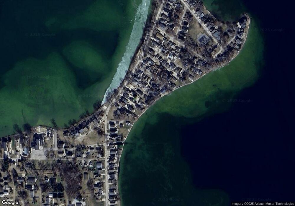
Map
Nearby Homes
- 11698 Elm Park Dr
- 2449 Peachtree Ct
- 1220 Round Lake Hwy
- 1930 Geneva Hwy
- 2025 Geneva Hwy
- 11320 W Ferndale Dr
- 11181 W Ferndale Dr
- 10950 W Ferndale Dr
- 2892 Round Lake Hwy
- 2973 Round Lake Hwy
- 3129 Oakshade Dr
- 3145 Round Lake Hwy
- 2000 Paradise Park St
- 8825 Mills
- 3953 Woerner Rd
- 3951 Woerner Rd
- 1100 Elm Blk St
- 348 Lenawee St
- 360 Park St
- 8676 Cherry Point Dr
- 11000 Gould Dr
- 11752 Round Lake Hwy
- 2299 Gould Dr
- 2200 Round Lake Hwy
- 11732 Gould Dr
- 11720 Gould Dr
- 11684 Elm Park Dr
- 11688 Elm Park Dr
- 2293 Round Lake Hwy
- 11770 Round Lake Hwy
- 2333 Elm Park Dr
- 2253 Round Lake Hwy
- 2259 Round Lake Hwy
- 2269 Round Lake Hwy
- 2275 Round Lake Hwy Unit ROUND
- 2281 Round Lake Hwy
- 2251 Round Lake Hwy
- 2287 Round Lake Hwy
- 2303 Round Lake Hwy
- 2309 Round Lake Hwy